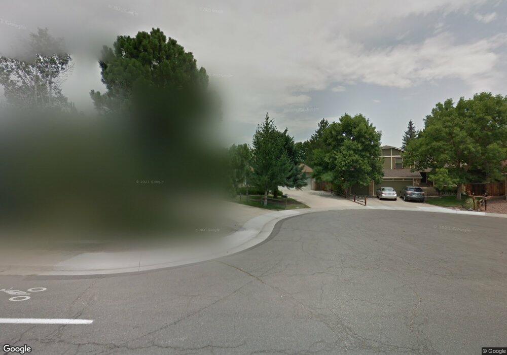
13731 Yank Way Arvada, CO 80004
Ralston Valley NeighborhoodEstimated Value: $656,000 - $725,000
3
Beds
5
Baths
1,545
Sq Ft
$440/Sq Ft
Est. Value
About This Home
This home is located at 13731 Yank Way, Arvada, CO 80004 and is currently estimated at $679,569, approximately $439 per square foot. 13731 Yank Way is a home located in Jefferson County with nearby schools including Stott Elementary School, Oberon Middle School, and Arvada West High School.
Ownership History
Date
Name
Owned For
Owner Type
Purchase Details
Closed on
Jun 26, 1998
Sold by
Thornborough Theodore C and Thornborough Carole L
Bought by
Linville Darrell L and Linville Lora M
Current Estimated Value
Purchase Details
Closed on
May 29, 1997
Sold by
Troxel Larry W and Troxel Robin K
Bought by
Thornbrough Theodore C and Thornbrough Carole L
Home Financials for this Owner
Home Financials are based on the most recent Mortgage that was taken out on this home.
Original Mortgage
$127,920
Interest Rate
8.17%
Create a Home Valuation Report for This Property
The Home Valuation Report is an in-depth analysis detailing your home's value as well as a comparison with similar homes in the area
Home Values in the Area
Average Home Value in this Area
Purchase History
| Date | Buyer | Sale Price | Title Company |
|---|---|---|---|
| Linville Darrell L | $177,000 | -- | |
| Thornbrough Theodore C | $159,900 | Colorado National Title |
Source: Public Records
Mortgage History
| Date | Status | Borrower | Loan Amount |
|---|---|---|---|
| Previous Owner | Thornbrough Theodore C | $127,920 |
Source: Public Records
Tax History Compared to Growth
Tax History
| Year | Tax Paid | Tax Assessment Tax Assessment Total Assessment is a certain percentage of the fair market value that is determined by local assessors to be the total taxable value of land and additions on the property. | Land | Improvement |
|---|---|---|---|---|
| 2024 | $3,318 | $40,908 | $18,030 | $22,878 |
| 2023 | $3,318 | $40,908 | $18,030 | $22,878 |
| 2022 | $2,633 | $33,832 | $13,407 | $20,425 |
| 2021 | $2,676 | $34,806 | $13,793 | $21,013 |
| 2020 | $2,403 | $32,053 | $12,543 | $19,510 |
| 2019 | $2,371 | $32,053 | $12,543 | $19,510 |
| 2018 | $2,161 | $29,274 | $9,423 | $19,851 |
| 2017 | $1,979 | $29,274 | $9,423 | $19,851 |
| 2016 | $1,791 | $26,784 | $6,908 | $19,876 |
| 2015 | $1,381 | $26,784 | $6,908 | $19,876 |
| 2014 | $1,381 | $21,603 | $5,731 | $15,872 |
Source: Public Records
Map
Nearby Homes
- 13755 W 65th Dr
- 6762 Beech Dr
- 6537 Coors St
- 13553 W 65th Place
- 13432 W 65th Place
- 14050 W 68th Ave
- 13812 W 64th Place
- 7004 Beech Ct
- 6616 Zang Cir
- 13304 W 70th Place
- 6416 Zang Ct
- 13155 W 63rd Place
- 13245 W 63rd Cir
- 7210 Devinney Ct Unit C
- 12924 W 64th Dr Unit B
- 13970 W 72nd Place Unit C
- 13618 W 62nd Dr
- 6254 Devinney Cir
- 6440 Wright St
- 7391 Coors Dr
- 13711 Yank Way
- 13751 Yank Way
- 13700 W 67th Cir
- 13720 W 67th Cir
- 13750 W 67th Cir
- 13760 W 67th Cir
- 13690 W 67th Cir
- 13780 W 67th Cir
- 13670 W 67th Cir
- 13650 W 67th Cir
- 13653 W 66th Way
- 13643 W 66th Way
- 13640 W 67th Cir
- 13663 W 66th Way
- 13745 W 67th Place
- 13633 W 66th Way
- 13705 W 67th Cir
- 13715 W 67th Cir
- 13735 W 67th Cir
- 13673 W 66th Way