13738 W Farm Road 94 Ash Grove, MO 65604
West Springfield NeighborhoodEstimated Value: $260,000 - $588,000
3
Beds
2
Baths
1,792
Sq Ft
$245/Sq Ft
Est. Value
About This Home
This home is located at 13738 W Farm Road 94, Ash Grove, MO 65604 and is currently estimated at $438,850, approximately $244 per square foot. 13738 W Farm Road 94 is a home located in Greene County with nearby schools including Bois D'Arc Elementary School and Ash Grove High School.
Ownership History
Date
Name
Owned For
Owner Type
Purchase Details
Closed on
Sep 27, 2024
Sold by
Davis John S and Davis Bonnie R
Bought by
Turner Family Trust and Turner
Current Estimated Value
Home Financials for this Owner
Home Financials are based on the most recent Mortgage that was taken out on this home.
Original Mortgage
$1,085,886
Outstanding Balance
$1,074,769
Interest Rate
6.49%
Mortgage Type
New Conventional
Estimated Equity
-$635,919
Purchase Details
Closed on
Jul 3, 2017
Sold by
Bellins Linda Nell
Bought by
Bellins Ivars Edgars and Bellins Linda Nell
Purchase Details
Closed on
Jan 25, 2012
Sold by
Davis John S
Bought by
Davis John S and Bellins Linda Nell
Create a Home Valuation Report for This Property
The Home Valuation Report is an in-depth analysis detailing your home's value as well as a comparison with similar homes in the area
Home Values in the Area
Average Home Value in this Area
Purchase History
| Date | Buyer | Sale Price | Title Company |
|---|---|---|---|
| Turner Family Trust | -- | Fidelity National Title | |
| Turner Family Trust | -- | None Listed On Document | |
| Bellins Ivars Edgars | -- | None Available | |
| Davis John S | -- | None Available |
Source: Public Records
Mortgage History
| Date | Status | Borrower | Loan Amount |
|---|---|---|---|
| Open | Turner Family Trust | $1,085,886 |
Source: Public Records
Tax History Compared to Growth
Tax History
| Year | Tax Paid | Tax Assessment Tax Assessment Total Assessment is a certain percentage of the fair market value that is determined by local assessors to be the total taxable value of land and additions on the property. | Land | Improvement |
|---|---|---|---|---|
| 2025 | $1,523 | $32,350 | $12,930 | $19,420 |
| 2024 | $1,523 | $28,920 | $11,030 | $17,890 |
| 2023 | $1,406 | $28,920 | $11,030 | $17,890 |
| 2022 | $1,416 | $26,880 | $11,030 | $15,850 |
| 2021 | $1,310 | $26,880 | $11,030 | $15,850 |
| 2020 | $1,289 | $26,110 | $11,030 | $15,080 |
| 2019 | $1,284 | $26,110 | $11,030 | $15,080 |
| 2018 | $1,133 | $22,820 | $11,350 | $11,470 |
| 2017 | $1,122 | $22,810 | $11,350 | $11,460 |
| 2016 | $1,116 | $22,810 | $11,350 | $11,460 |
| 2015 | $1,113 | $22,810 | $11,350 | $11,460 |
| 2014 | $1,071 | $22,510 | $11,060 | $11,450 |
Source: Public Records
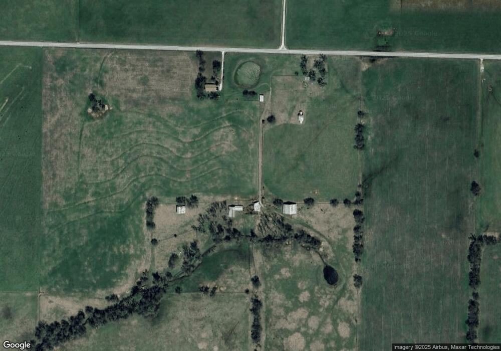
Map
Nearby Homes
- Tracts 2 & 3 Farm Rd 35 & 39
- 3600 Farm Road 39
- 2898 N Farm Road 17
- 415 S Piper Ave
- 203 E Prairie Ln
- 300 S High Ave
- 806 E Grant St
- 606 E Prairie Ln
- 000 W Farm Road 94 Tract 1
- 000 W
- 502 W Mill St
- 000 W Farm Road 94 Tract 9
- 000 W Farm Rd 94 Tract 11
- 000 W Farm Road 94 Tract 10
- 711 W Woodbine Rd
- Tbd W State Highway T
- 407 N Crestview Ave
- 424 Coyote Pass
- 422 Coyote Pass
- 206 E Cawlfield St
- 13709 W Farm Road 94
- 13992 W Farm Road 94
- 4295 N State Highway F
- 3924 N State Highway F
- 000 N Farm Rd 35
- 13288 W Farm Road 94
- 4519 N Farm Road 33
- 3913 N State Highway F
- 4782 N State Highway F
- 4493 N State Highway F
- 13207 W Farm Road 94
- 4181 N Farm Road 35
- 4143 N Farm Road 35
- 4851 N State Highway F
- 4954 N State Highway F
- 3927 N Farm Road 35
- 4728 N Farm Road 33
- 3929 N Farm Road 35
- 3845 N Farm Road 35
- 4935 N State Highway F