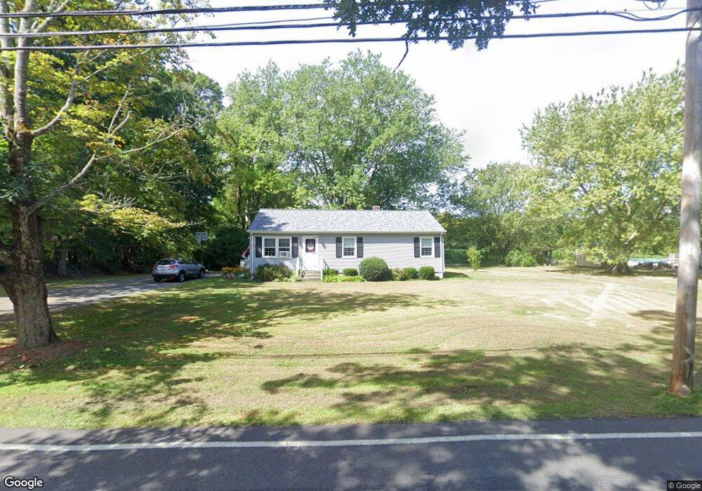
1374 Sharps Lot Rd Swansea, MA 02777
West Swansea NeighborhoodEstimated Value: $455,000 - $524,000
3
Beds
1
Bath
1,144
Sq Ft
$418/Sq Ft
Est. Value
About This Home
This home is located at 1374 Sharps Lot Rd, Swansea, MA 02777 and is currently estimated at $477,979, approximately $417 per square foot. 1374 Sharps Lot Rd is a home located in Bristol County with nearby schools including Joseph Case High School, SCEC Life Academy, and Swansea Wood School.
Ownership History
Date
Name
Owned For
Owner Type
Purchase Details
Closed on
Sep 21, 2023
Sold by
Ferry Barbara J
Bought by
Barbara J Ferry Ret and Ferry
Current Estimated Value
Purchase Details
Closed on
Jan 10, 1974
Bought by
Ferry Edward F and Ferry Barbara J
Create a Home Valuation Report for This Property
The Home Valuation Report is an in-depth analysis detailing your home's value as well as a comparison with similar homes in the area
Home Values in the Area
Average Home Value in this Area
Purchase History
| Date | Buyer | Sale Price | Title Company |
|---|---|---|---|
| Barbara J Ferry Ret | -- | None Available | |
| Ferry Edward F | -- | -- |
Source: Public Records
Mortgage History
| Date | Status | Borrower | Loan Amount |
|---|---|---|---|
| Previous Owner | Ferry Edward F | $124,700 | |
| Previous Owner | Ferry Edward F | $23,290 | |
| Previous Owner | Ferry Edward F | $46,000 |
Source: Public Records
Tax History Compared to Growth
Tax History
| Year | Tax Paid | Tax Assessment Tax Assessment Total Assessment is a certain percentage of the fair market value that is determined by local assessors to be the total taxable value of land and additions on the property. | Land | Improvement |
|---|---|---|---|---|
| 2025 | $4,613 | $387,000 | $176,000 | $211,000 |
| 2024 | $4,604 | $384,000 | $176,000 | $208,000 |
| 2023 | $4,338 | $330,400 | $128,700 | $201,700 |
| 2022 | $4,291 | $298,200 | $117,000 | $181,200 |
| 2021 | $4,078 | $260,900 | $117,000 | $143,900 |
| 2020 | $4,062 | $260,700 | $117,000 | $143,700 |
| 2019 | $3,848 | $248,100 | $104,400 | $143,700 |
| 2018 | $3,690 | $241,500 | $102,700 | $138,800 |
| 2017 | $3,207 | $241,500 | $102,700 | $138,800 |
| 2016 | $2,830 | $209,300 | $88,400 | $120,900 |
| 2015 | $2,588 | $197,100 | $88,400 | $108,700 |
| 2014 | $2,549 | $198,500 | $88,400 | $110,100 |
Source: Public Records
Map
Nearby Homes
- 172 High Hill Rd
- 48 Laurie Ln
- 3075 Club House Dr
- 3064 Clubhouse Dr
- 3055 Clubhouse Dr Unit 80
- 3051 Clubhouse Dr Unit 78
- 3049 Clubhouse Dr Unit 77
- 3035 Clubhouse Dr
- 3035 Clubhouse Dr Unit 8
- 3035 Clubhouse Dr Unit 7
- 3035 Clubhouse Dr Unit 6
- 3035 Clubhouse Dr Unit 5
- 3035 Clubhouse Dr Unit 4
- 3035 Clubhouse Dr Unit 3
- 3035 Clubhouse Dr Unit 2
- 3035 Clubhouse Dr Unit 1
- 3057 Clubhouse Dr
- 32 Clubhouse Dr Unit RR32
- R61 Clubhouse Dr Unit R61
- 65 Marvel St
- 1378 Sharps Lot Rd
- 3425 Sharps Lot Rd
- 3423 Sharps Lot Rd Unit 1
- 1372 Sharps Lot Rd
- 1370 Sharps Lot Rd
- 3397 Sharps Lot Rd
- 1372R Sharps Lot Rd
- 1300 Data Vault Rd
- 1366 Sharps Lot Rd
- 11 Murray Place
- 2 Murray Place
- 25 Murray Place
- 1319 Sharps Lot Rd
- 1338 Sharps Lot Rd
- 45 Murray Place
- 63 Murray Place
- 1329 Sharps Lot Rd
- 1320 Sharps Lot Rd
- 64 Murray Place
- 30 Murray Place