1375 Bronson Rd Fairfield, CT 06824
Estimated Value: $1,344,383 - $1,554,000
4
Beds
3
Baths
2,606
Sq Ft
$561/Sq Ft
Est. Value
About This Home
This home is located at 1375 Bronson Rd, Fairfield, CT 06824 and is currently estimated at $1,461,096, approximately $560 per square foot. 1375 Bronson Rd is a home located in Fairfield County with nearby schools including Mill Hill School, Roger Ludlowe Middle School, and Fairfield Ludlowe High School.
Ownership History
Date
Name
Owned For
Owner Type
Purchase Details
Closed on
Dec 31, 2007
Sold by
Adv Financing
Bought by
Mocarski Dariusz and Mocarski Elzbieta
Current Estimated Value
Home Financials for this Owner
Home Financials are based on the most recent Mortgage that was taken out on this home.
Original Mortgage
$684,250
Outstanding Balance
$430,467
Interest Rate
6.27%
Estimated Equity
$1,030,629
Purchase Details
Closed on
Aug 13, 2003
Sold by
Giansanti Luigi and Giansanti Stella
Bought by
Centurian Investment G
Create a Home Valuation Report for This Property
The Home Valuation Report is an in-depth analysis detailing your home's value as well as a comparison with similar homes in the area
Home Values in the Area
Average Home Value in this Area
Purchase History
| Date | Buyer | Sale Price | Title Company |
|---|---|---|---|
| Mocarski Dariusz | $805,000 | -- | |
| Adv Financing Llc | $810,000 | -- | |
| Mocarski Dariusz | $805,000 | -- | |
| Centurian Investment G | $750,000 | -- | |
| Centurian Investment G | $750,000 | -- |
Source: Public Records
Mortgage History
| Date | Status | Borrower | Loan Amount |
|---|---|---|---|
| Open | Centurian Investment G | $684,250 | |
| Closed | Centurian Investment G | $684,250 | |
| Previous Owner | Centurian Investment G | $877,500 |
Source: Public Records
Tax History Compared to Growth
Tax History
| Year | Tax Paid | Tax Assessment Tax Assessment Total Assessment is a certain percentage of the fair market value that is determined by local assessors to be the total taxable value of land and additions on the property. | Land | Improvement |
|---|---|---|---|---|
| 2025 | $16,389 | $577,290 | $393,610 | $183,680 |
| 2024 | $16,106 | $577,290 | $393,610 | $183,680 |
| 2023 | $15,881 | $577,290 | $393,610 | $183,680 |
| 2022 | $15,725 | $577,290 | $393,610 | $183,680 |
| 2021 | $15,575 | $577,290 | $393,610 | $183,680 |
| 2020 | $15,837 | $591,150 | $389,340 | $201,810 |
| 2019 | $15,837 | $591,150 | $389,340 | $201,810 |
| 2018 | $15,583 | $591,150 | $389,340 | $201,810 |
| 2017 | $15,263 | $591,150 | $389,340 | $201,810 |
| 2016 | $15,045 | $591,150 | $389,340 | $201,810 |
| 2015 | $14,707 | $593,250 | $415,240 | $178,010 |
| 2014 | $14,475 | $593,250 | $415,240 | $178,010 |
Source: Public Records
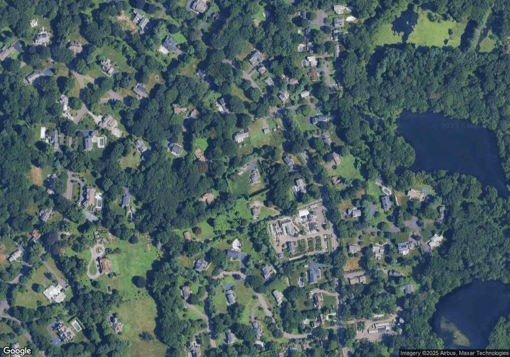
Map
Nearby Homes
- 232 Pell Meadow Dr
- 1135 Mill Hill Rd
- 254 Sherwood Farm Rd
- 647 Bronson Rd
- 476 Mill Hill Terrace
- 360 Duck Farm Rd
- 105 Charter Oak Rd
- 646 Mill Hill Terrace
- 56 Drake Ln
- 44 Deer Run Rd
- 844 Mill Hill Terrace
- 53 Hilltop Dr
- 33 Middlebrook Place
- 28 Mill Hill Rd Unit 28
- 2683 Bronson Rd
- 25 Millspaugh Dr
- 688 Hulls Farm Rd
- 338 Orchard Hill Ln
- 179 Verna Hill Rd
- 153 Pease Ave
- 1327 Bronson Rd
- 1327 Bronson Rd Unit 1
- 1371 Bronson Rd
- 15 Warner Hill Rd
- 1400 Bronson Rd
- 1341 Bronson Rd
- 1372 Bronson Rd
- 73 Warner Hill Rd
- 57 Warner Hill Rd
- 1334 Bronson Rd
- 1285 Bronson Rd
- 105 Warner Hill Rd
- 30 Warner Hill Rd
- 1450 Bronson Rd
- 10 Twin Brooks Ln
- 1444 Bronson Rd
- 1329 Bronson Rd
- 395 Fulling Mill Ln S
- 11 Twin Brooks Ln
- 1482 Bronson Rd