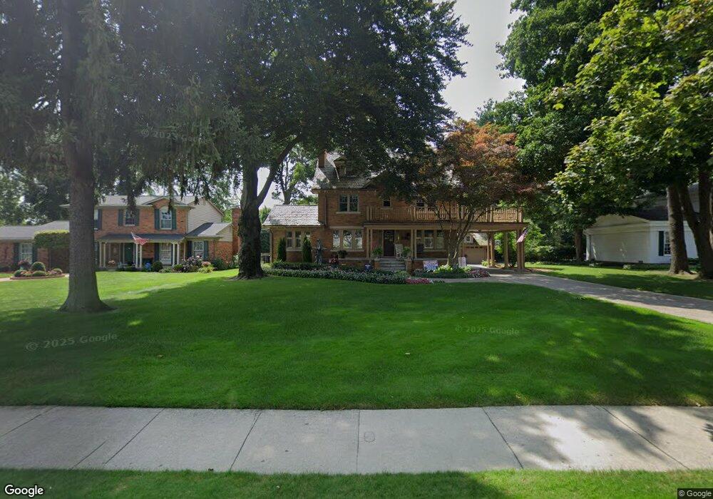
1375 W Ann Arbor Trail Plymouth, MI 48170
Estimated Value: $1,496,000 - $2,127,000
4
Beds
7
Baths
5,350
Sq Ft
$352/Sq Ft
Est. Value
About This Home
This home is located at 1375 W Ann Arbor Trail, Plymouth, MI 48170 and is currently estimated at $1,881,878, approximately $351 per square foot. 1375 W Ann Arbor Trail is a home located in Wayne County with nearby schools including Canton High School, Smith Elementary School, and West Middle School.
Ownership History
Date
Name
Owned For
Owner Type
Purchase Details
Closed on
Jul 10, 2007
Sold by
Tortora Amy
Bought by
Baechler Tim and Baechler Julie
Current Estimated Value
Purchase Details
Closed on
May 20, 2005
Sold by
Tortora Patrick A and Tortora Kimberly A
Bought by
Tortora Amy
Purchase Details
Closed on
Oct 22, 2004
Sold by
Tortora Patrick A
Bought by
Tortora Patrick A and Tortora Kimberly A
Purchase Details
Closed on
Sep 3, 2002
Sold by
Smith Mark Allen and Smith Lisa Ann
Bought by
Tortora Patrick A
Create a Home Valuation Report for This Property
The Home Valuation Report is an in-depth analysis detailing your home's value as well as a comparison with similar homes in the area
Home Values in the Area
Average Home Value in this Area
Purchase History
| Date | Buyer | Sale Price | Title Company |
|---|---|---|---|
| Baechler Tim | -- | Fidelity National Title | |
| Tortora Amy | -- | Fidelity National Title | |
| Tortora Patrick A | -- | First Michigan Title Inc | |
| Tortora Patrick A | $615,000 | -- |
Source: Public Records
Tax History Compared to Growth
Tax History
| Year | Tax Paid | Tax Assessment Tax Assessment Total Assessment is a certain percentage of the fair market value that is determined by local assessors to be the total taxable value of land and additions on the property. | Land | Improvement |
|---|---|---|---|---|
| 2025 | $17,679 | $817,000 | $0 | $0 |
| 2024 | $17,679 | $812,400 | $0 | $0 |
| 2023 | $5,109 | $777,800 | $0 | $0 |
| 2022 | $18,252 | $752,600 | $0 | $0 |
| 2021 | $17,686 | $740,500 | $0 | $0 |
| 2020 | $17,641 | $720,500 | $0 | $0 |
| 2019 | $15,531 | $662,700 | $0 | $0 |
| 2018 | $15,085 | $625,900 | $0 | $0 |
| 2017 | $3,196 | $619,500 | $0 | $0 |
| 2016 | $16,434 | $584,800 | $0 | $0 |
| 2015 | $37,639 | $548,580 | $0 | $0 |
| 2013 | $36,463 | $427,720 | $0 | $0 |
| 2011 | -- | $384,470 | $0 | $0 |
Source: Public Records
Map
Nearby Homes
- 199 Arthur St
- 1046 Church St
- 638 S Harvey St
- 42384 Gateway Dr
- 12260 High Meadow Ct
- 416 N Sheldon Rd
- 432 N Sheldon Rd
- 188 N Harvey St
- 730 Penniman Ave Unit 203
- 12427 Woodgate Dr
- 668 Maple St
- 660 Maple St
- 543 Deer St
- 1125 Sutherland St
- 636 Maple St
- 500 Provincetown Ln
- 324 N Harvey St
- 644 Maple St
- 770 Deer St Unit 204
- 628 Maple St
- 1393 W Ann Arbor Trail
- 1365 W Ann Arbor Trail
- 1380 Maple St
- 1347 W Ann Arbor Trail
- 1392 Maple St
- 1364 Maple St
- 1376 W Ann Arbor Trail
- 1388 W Ann Arbor Trail
- 1396 W Ann Arbor Trail
- 1352 W Ann Arbor Trail
- 1348 Maple St
- 1411 W Ann Arbor Trail
- 1412 Maple St
- 1344 W Ann Arbor Trail
- 1325 W Ann Arbor Trail
- 1328 W Ann Arbor Trail
- 1412 W Ann Arbor Trail
- 1365 Sheridan St
- 1373 Sheridan St
- 1312 Maple St