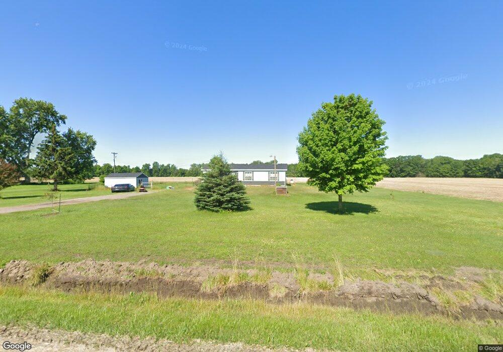
13750 Fowler Rd Chesaning, MI 48616
Estimated Value: $150,546 - $211,000
3
Beds
2
Baths
1,144
Sq Ft
$160/Sq Ft
Est. Value
About This Home
This home is located at 13750 Fowler Rd, Chesaning, MI 48616 and is currently estimated at $183,137, approximately $160 per square foot. 13750 Fowler Rd is a home located in Saginaw County with nearby schools including Big Rock Elementary School, Chesaning Middle School, and Chesaning Union High School.
Ownership History
Date
Name
Owned For
Owner Type
Purchase Details
Closed on
Jun 30, 2022
Sold by
Knowles Frank E
Bought by
Kimery Alexandria A and Wolfe Lisa A
Current Estimated Value
Home Financials for this Owner
Home Financials are based on the most recent Mortgage that was taken out on this home.
Original Mortgage
$112,923
Outstanding Balance
$107,443
Interest Rate
5.1%
Mortgage Type
FHA
Estimated Equity
$75,694
Purchase Details
Closed on
Jan 7, 2022
Sold by
Dean Cooper Richard
Bought by
Knowles Frank E
Create a Home Valuation Report for This Property
The Home Valuation Report is an in-depth analysis detailing your home's value as well as a comparison with similar homes in the area
Home Values in the Area
Average Home Value in this Area
Purchase History
| Date | Buyer | Sale Price | Title Company |
|---|---|---|---|
| Kimery Alexandria A | $115,007 | Diversified National Title | |
| Kimery Alexandria A | $115,007 | Diversified National Title | |
| Knowles Frank E | $50,000 | None Listed On Document |
Source: Public Records
Mortgage History
| Date | Status | Borrower | Loan Amount |
|---|---|---|---|
| Open | Kimery Alexandria A | $112,923 |
Source: Public Records
Tax History Compared to Growth
Tax History
| Year | Tax Paid | Tax Assessment Tax Assessment Total Assessment is a certain percentage of the fair market value that is determined by local assessors to be the total taxable value of land and additions on the property. | Land | Improvement |
|---|---|---|---|---|
| 2025 | $2,008 | $58,500 | $0 | $0 |
| 2024 | $599 | $54,700 | $0 | $0 |
| 2023 | $607 | $55,400 | $0 | $0 |
| 2022 | $1,314 | $48,100 | $0 | $0 |
| 2021 | $1,247 | $42,800 | $0 | $0 |
| 2020 | $1,221 | $43,900 | $0 | $0 |
| 2019 | $1,184 | $43,100 | $7,300 | $35,800 |
| 2018 | $363 | $40,400 | $0 | $0 |
| 2017 | $1,050 | $39,500 | $0 | $0 |
| 2016 | $1,050 | $34,800 | $0 | $0 |
| 2014 | -- | $31,800 | $0 | $24,500 |
| 2013 | -- | $32,000 | $0 | $0 |
Source: Public Records
Map
Nearby Homes
- 19725 W Burt Rd
- 14382 S Chapin Rd
- 12100 Raucholz Rd
- 15852 W Brant Rd
- 10854 S Hemlock Rd
- 10505 S Hemlock Rd
- 14805 Brady Rd
- 14550 W Brady Rd
- 13715 Baldwin Rd
- 22712 W Gary Rd
- 13285 Harris Rd
- 13675 S Meridian Rd
- 1 Peet Rd
- 19650 Ithaca Rd
- 8700 S Hemlock Rd
- 18575 S Raucholz Rd
- 00 Oakley Rd
- 13869 Hanchett Rd
- 12490 W Brady Rd
- 19061 S Raucholz Rd