Estimated Value: $186,874 - $237,000
3
Beds
1
Bath
1,092
Sq Ft
$193/Sq Ft
Est. Value
About This Home
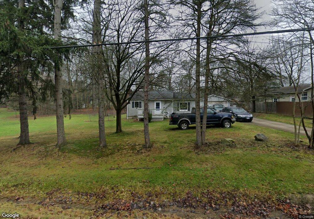
This home is located at 1376 Meadowbrook Blvd, Stow, OH 44224 and is currently estimated at $210,219, approximately $192 per square foot. 1376 Meadowbrook Blvd is a home located in Summit County with nearby schools including Stow-Munroe Falls High School, Primrose School of Hudson, and Holy Family Elementary School.
Ownership History
Date
Name
Owned For
Owner Type
Purchase Details
Closed on
Jul 19, 2007
Sold by
Craig Todd Inc
Bought by
Votchko Ronald J and Botz Susan L
Current Estimated Value
Home Financials for this Owner
Home Financials are based on the most recent Mortgage that was taken out on this home.
Original Mortgage
$103,700
Outstanding Balance
$64,951
Interest Rate
6.54%
Mortgage Type
Purchase Money Mortgage
Estimated Equity
$145,268
Purchase Details
Closed on
Mar 24, 2006
Sold by
Hud
Bought by
Craig Todd Inc
Purchase Details
Closed on
Dec 6, 2005
Sold by
Deverall William P
Bought by
Hud
Purchase Details
Closed on
Aug 21, 1998
Sold by
Richardson David A
Bought by
Deverall William P Erica L
Home Financials for this Owner
Home Financials are based on the most recent Mortgage that was taken out on this home.
Original Mortgage
$89,826
Interest Rate
6.99%
Mortgage Type
FHA
Create a Home Valuation Report for This Property
The Home Valuation Report is an in-depth analysis detailing your home's value as well as a comparison with similar homes in the area
Home Values in the Area
Average Home Value in this Area
Purchase History
| Date | Buyer | Sale Price | Title Company |
|---|---|---|---|
| Votchko Ronald J | $122,000 | Real Living Title Agency Ltd | |
| Craig Todd Inc | $74,501 | Lakeside Title & Escrow Agen | |
| Hud | $80,000 | -- | |
| Deverall William P Erica L | $89,900 | -- |
Source: Public Records
Mortgage History
| Date | Status | Borrower | Loan Amount |
|---|---|---|---|
| Open | Votchko Ronald J | $103,700 | |
| Previous Owner | Deverall William P Erica L | $89,826 |
Source: Public Records
Tax History
| Year | Tax Paid | Tax Assessment Tax Assessment Total Assessment is a certain percentage of the fair market value that is determined by local assessors to be the total taxable value of land and additions on the property. | Land | Improvement |
|---|---|---|---|---|
| 2024 | $2,540 | $44,510 | $11,057 | $33,453 |
| 2023 | $2,540 | $44,510 | $11,057 | $33,453 |
| 2022 | $2,374 | $36,701 | $8,988 | $27,713 |
| 2021 | $2,129 | $36,701 | $8,988 | $27,713 |
| 2020 | $2,093 | $36,700 | $8,990 | $27,710 |
| 2019 | $2,293 | $37,700 | $8,990 | $28,710 |
| 2018 | $2,256 | $37,700 | $8,990 | $28,710 |
| 2017 | $2,319 | $37,700 | $8,990 | $28,710 |
| 2016 | $2,386 | $37,700 | $8,990 | $28,710 |
| 2015 | $2,319 | $37,700 | $8,990 | $28,710 |
| 2014 | $2,321 | $37,700 | $8,990 | $28,710 |
| 2013 | $2,301 | $37,610 | $8,990 | $28,620 |
Source: Public Records
Map
Nearby Homes
- 0 Hibbard Dr
- 1525 Spruce Hill Dr
- 4623 Cox Dr
- 1921-1929 Ritchie Rd
- V/L Housley Rd
- 5123 Sodalite Dr
- 2279 Becket Cir
- 5091 Ridge Meadow Dr
- 2352 Becket Cir
- 1953 Arndale Rd
- 4424 Timberdale Dr Unit 4428
- V/L Norton Rd
- 2221 Crockett Cir
- 5150 Bayside Lake Blvd
- 5163 Beckett Ridge
- 1995 Weston Dr
- 2055-2059 Bryn Mawr Dr
- V/L Diplomat Dr
- 3856 Northview Dr
- 3943 Darrow Rd
- 4761 Sunnyside Dr
- 4741 Sunnyside Dr
- 4760 Sunnyside Dr
- 1394 Meadowbrook Blvd Unit 1398
- 1367 Meadowbrook Blvd
- 4731 Sunnyside Dr
- 4748 Sunnyside Dr
- 1406 Meadowbrook Blvd
- 4770 Sunnyside Dr
- 1373 Meadowbrook Blvd
- 1379 Meadowbrook Blvd
- 4740 Sunnyside Dr
- 4780 Sunnyside Dr
- 1397 Meadowbrook Blvd
- 4730 Sunnyside Dr
- 4721 Sunnyside Dr
- 1414 Meadowbrook Blvd
- 1415 Meadowbrook Blvd
- 1387 Meadowbrook Blvd
- 1353 Meadowbrook Blvd
Your Personal Tour Guide
Ask me questions while you tour the home.