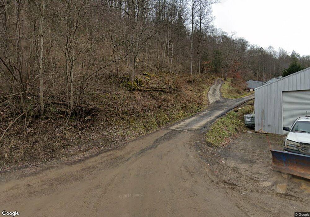
1377 Boyds Ridge Rd Vansant, VA 24656
Estimated Value: $126,000 - $153,000
3
Beds
1
Bath
1,680
Sq Ft
$84/Sq Ft
Est. Value
About This Home
This home is located at 1377 Boyds Ridge Rd, Vansant, VA 24656 and is currently estimated at $140,543, approximately $83 per square foot. 1377 Boyds Ridge Rd is a home with nearby schools including Council Elementary-Middle School and Council High School.
Ownership History
Date
Name
Owned For
Owner Type
Purchase Details
Closed on
Aug 28, 2015
Sold by
Dowdy-Baker Alicia D
Bought by
Wampler Scott and Wampler Laura J
Current Estimated Value
Home Financials for this Owner
Home Financials are based on the most recent Mortgage that was taken out on this home.
Original Mortgage
$128,300
Outstanding Balance
$100,563
Interest Rate
4.09%
Mortgage Type
New Conventional
Estimated Equity
$39,980
Purchase Details
Closed on
Oct 27, 2007
Sold by
Nuckles Linda Faye and Owens Linda Faye
Bought by
Dowdy Alcia D
Home Financials for this Owner
Home Financials are based on the most recent Mortgage that was taken out on this home.
Original Mortgage
$74,397
Interest Rate
6.47%
Mortgage Type
New Conventional
Create a Home Valuation Report for This Property
The Home Valuation Report is an in-depth analysis detailing your home's value as well as a comparison with similar homes in the area
Home Values in the Area
Average Home Value in this Area
Purchase History
| Date | Buyer | Sale Price | Title Company |
|---|---|---|---|
| Wampler Scott | $125,000 | Attorney | |
| Dowdy Alcia D | -- | None Available |
Source: Public Records
Mortgage History
| Date | Status | Borrower | Loan Amount |
|---|---|---|---|
| Open | Wampler Scott | $128,300 | |
| Previous Owner | Dowdy Alcia D | $74,397 |
Source: Public Records
Tax History Compared to Growth
Tax History
| Year | Tax Paid | Tax Assessment Tax Assessment Total Assessment is a certain percentage of the fair market value that is determined by local assessors to be the total taxable value of land and additions on the property. | Land | Improvement |
|---|---|---|---|---|
| 2024 | $474 | $121,600 | $6,000 | $115,600 |
| 2023 | $474 | $121,600 | $6,000 | $115,600 |
| 2022 | $474 | $121,600 | $6,000 | $115,600 |
| 2021 | $474 | $121,600 | $6,000 | $115,600 |
| 2020 | $467 | $119,700 | $6,000 | $113,700 |
| 2019 | $467 | $119,700 | $6,000 | $113,700 |
| 2017 | $467 | $119,700 | $6,000 | $113,700 |
| 2016 | $467 | $119,700 | $6,000 | $113,700 |
| 2015 | $467 | $53,700 | $6,500 | $47,200 |
Source: Public Records
Map
Nearby Homes
- 1078 Joe Hollow Rd
- 2477 Leemaster Dr
- 10388 Helen Henderson Hwy
- 1014 Banner Rd
- 00 Rabbit Ridge
- Rabbit Ridge
- 0 Crackers Neck Rd
- 639 Dream Farm Rd
- 782 Rock Lick Rd
- 1877 Lovers Gap Rd
- 0 Dry Fork Rd
- 8836 Lovers Gap Rd
- 8232 Garden Creek Rd
- 18775 Riverside Dr
- 9725 Garden Creek Rd
- TBD Cypress St
- 1991 Old Greenbrier Rd
- 362 Rakes Ridge Rd
- 1025 White Birch Ln
- 1087 Greenhouse Cir
- 1383 Boyds Ridge Rd
- 1481 Boyds Ridge Rd
- 1450 Boyds Ridge Rd
- 1222 Boyds Ridge Rd
- 1100 Wooden Gate Rd
- 1418 Boyds Ridge Rd
- 1637 Boyds Ridge Rd
- 2036 Hurricane Creek Rd
- 1028 Hammock Rd
- 1840 Boyds Ridge Rd
- 1081 Carver Rd
- 1027 Ivy Lick Branch Rd
- 1880 Boyds Ridge Rd
- 2252 Hurricane Creek Rd
- 2262 Hurricane Creek Rd
- 1817 Boyds Ridge Rd
- 1138 Ivy Lick Branch Rd
- 1818 Hurricane Creek Rd
- 1804 Hurricane Creek Rd
- 1968 Boyds Ridge Rd