Estimated Value: $309,000 - $316,000
3
Beds
2
Baths
900
Sq Ft
$347/Sq Ft
Est. Value
About This Home
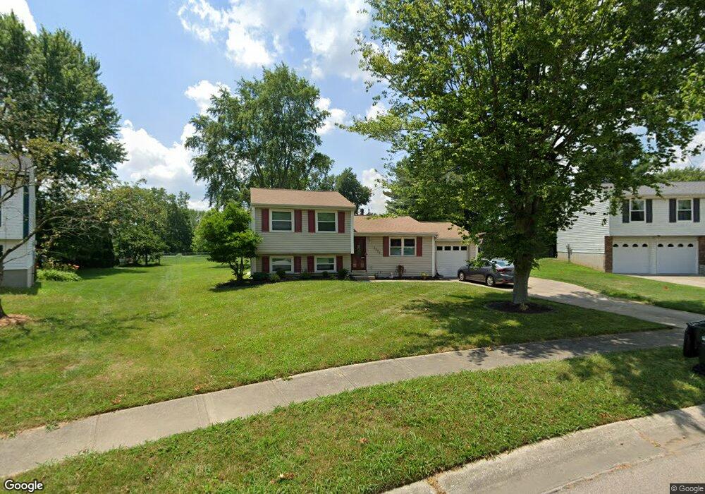
This home is located at 1377 Fishhawk Ct, Mason, OH 45040 and is currently estimated at $312,116, approximately $346 per square foot. 1377 Fishhawk Ct is a home located in Warren County with nearby schools including Mason Intermediate Elementary School, Mason Middle School, and William Mason High School.
Ownership History
Date
Name
Owned For
Owner Type
Purchase Details
Closed on
Aug 20, 2004
Sold by
Murray Kevin D
Bought by
Bartlett Eric S and Bartlett Tammy L
Current Estimated Value
Home Financials for this Owner
Home Financials are based on the most recent Mortgage that was taken out on this home.
Original Mortgage
$114,700
Outstanding Balance
$57,180
Interest Rate
6.08%
Mortgage Type
Purchase Money Mortgage
Estimated Equity
$254,936
Purchase Details
Closed on
Jun 14, 2001
Sold by
Holste Richard E
Bought by
Murray Kevin D
Home Financials for this Owner
Home Financials are based on the most recent Mortgage that was taken out on this home.
Original Mortgage
$96,500
Interest Rate
7.16%
Mortgage Type
New Conventional
Purchase Details
Closed on
Apr 22, 1992
Sold by
Todd Herkins and Todd R.
Bought by
Holste Holste and Holste Richard E
Purchase Details
Closed on
Jul 1, 1988
Sold by
Ripard Ripard and Ripard Robert
Bought by
Todd Herkins and Todd R.
Purchase Details
Closed on
May 21, 1981
Sold by
Ryland Group Inc
Purchase Details
Closed on
Apr 7, 1981
Sold by
Iti Corporation
Purchase Details
Closed on
Jun 20, 1980
Sold by
Iti Corporation
Create a Home Valuation Report for This Property
The Home Valuation Report is an in-depth analysis detailing your home's value as well as a comparison with similar homes in the area
Home Values in the Area
Average Home Value in this Area
Purchase History
| Date | Buyer | Sale Price | Title Company |
|---|---|---|---|
| Bartlett Eric S | $135,000 | -- | |
| Murray Kevin D | $116,500 | -- | |
| Holste Holste | $81,900 | -- | |
| Todd Herkins | $69,900 | -- | |
| -- | $57,600 | -- | |
| -- | $15,200 | -- | |
| -- | -- | -- |
Source: Public Records
Mortgage History
| Date | Status | Borrower | Loan Amount |
|---|---|---|---|
| Open | Bartlett Eric S | $114,700 | |
| Previous Owner | Murray Kevin D | $96,500 |
Source: Public Records
Tax History Compared to Growth
Tax History
| Year | Tax Paid | Tax Assessment Tax Assessment Total Assessment is a certain percentage of the fair market value that is determined by local assessors to be the total taxable value of land and additions on the property. | Land | Improvement |
|---|---|---|---|---|
| 2024 | $2,915 | $71,820 | $24,500 | $47,320 |
| 2023 | $2,532 | $52,713 | $10,762 | $41,951 |
| 2022 | $2,499 | $52,714 | $10,763 | $41,951 |
| 2021 | $2,368 | $52,714 | $10,763 | $41,951 |
| 2020 | $2,246 | $42,858 | $8,750 | $34,108 |
| 2019 | $2,064 | $42,858 | $8,750 | $34,108 |
| 2018 | $2,071 | $42,858 | $8,750 | $34,108 |
| 2017 | $1,915 | $37,006 | $8,274 | $28,732 |
| 2016 | $1,973 | $37,006 | $8,274 | $28,732 |
| 2015 | $1,977 | $37,006 | $8,274 | $28,732 |
| 2014 | $1,982 | $34,580 | $7,730 | $26,850 |
| 2013 | $1,986 | $39,140 | $8,750 | $30,390 |
Source: Public Records
Map
Nearby Homes
- 6070 Fireside Dr Unit 45
- 6356 Amber Ct Unit 91
- 921 Leslie Ct
- 873 Tradewind Dr
- 6138 Nicholas Way
- 6387 Coverage Ct
- 6369 Coverage Ct
- 6403 Coverage Ct
- 6357 Coverage Ct
- 6383 Coverage Ct
- 6407 Coverage Ct
- 6375 Coverage Ct
- 6365 Coverage Ct
- 6361 Coverage Ct
- 6379 Coverage Ct
- 6411 Coverage Ct
- 6126 Nicholas Way
- 6146 Nicholas Way
- 6150 Nicholas Way
- 6358 Coverage Ct
- 1375 Fishhawk Ct
- 1379 Fishhawk Ct
- 734 Anthony Ln
- 729 Anthony Ln
- 752 Maplewood Ln
- 748 Maplewood Ln
- 756 Maplewood Ln
- 1373 Fishhawk Ct
- 1381 Fishhawk Ct
- 744 Maplewood Ln
- 760 Maplewood Ln
- 1374 Fishhawk Ct
- 733 Anthony Ln
- 738 Anthony Ln
- 764 Maplewood Ln
- 1383 Fishhawk Ct
- 1359 Firethorn Dr
- 1376 Fishhawk Ct
- 1355 Firethorn Dr
- 737 Anthony Ln