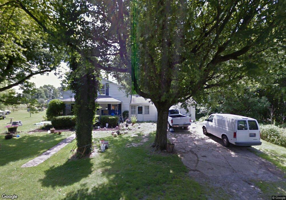
1377 James Rd Blanchester, OH 45107
Estimated Value: $284,311 - $348,000
4
Beds
1
Bath
2,014
Sq Ft
$161/Sq Ft
Est. Value
About This Home
This home is located at 1377 James Rd, Blanchester, OH 45107 and is currently estimated at $323,328, approximately $160 per square foot. 1377 James Rd is a home located in Clinton County with nearby schools including Putman Elementary School, Blanchester Middle School, and Blanchester High School.
Ownership History
Date
Name
Owned For
Owner Type
Purchase Details
Closed on
Aug 22, 2016
Sold by
Lamb Norman S and Lamb Sandra L
Bought by
Eby Ronald E and Longenecker Andrea
Current Estimated Value
Home Financials for this Owner
Home Financials are based on the most recent Mortgage that was taken out on this home.
Original Mortgage
$129,117
Outstanding Balance
$100,816
Interest Rate
3.25%
Mortgage Type
FHA
Estimated Equity
$222,512
Purchase Details
Closed on
May 18, 1998
Sold by
Akers Benjamin F
Bought by
Lamb Norman S and Lamb Sandra L
Purchase Details
Closed on
Oct 22, 1997
Bought by
Akers Benjamin F
Create a Home Valuation Report for This Property
The Home Valuation Report is an in-depth analysis detailing your home's value as well as a comparison with similar homes in the area
Purchase History
| Date | Buyer | Sale Price | Title Company |
|---|---|---|---|
| Eby Ronald E | $131,500 | Mattingly Ford Title Svcs Ll | |
| Lamb Norman S | $76,000 | -- | |
| Akers Benjamin F | -- | -- |
Source: Public Records
Mortgage History
| Date | Status | Borrower | Loan Amount |
|---|---|---|---|
| Open | Eby Ronald E | $129,117 |
Source: Public Records
Tax History
| Year | Tax Paid | Tax Assessment Tax Assessment Total Assessment is a certain percentage of the fair market value that is determined by local assessors to be the total taxable value of land and additions on the property. | Land | Improvement |
|---|---|---|---|---|
| 2025 | $2,004 | $61,330 | $26,220 | $35,110 |
| 2024 | $2,004 | $61,330 | $26,220 | $35,110 |
| 2023 | $2,064 | $61,330 | $26,220 | $35,110 |
| 2022 | $1,518 | $41,580 | $12,130 | $29,450 |
| 2021 | $1,601 | $41,580 | $12,130 | $29,450 |
| 2020 | $1,596 | $41,580 | $12,130 | $29,450 |
| 2019 | $1,357 | $35,110 | $12,130 | $22,980 |
| 2018 | $1,363 | $35,110 | $12,130 | $22,980 |
| 2017 | $666 | $35,110 | $12,130 | $22,980 |
| 2016 | $1,351 | $34,470 | $13,120 | $21,350 |
| 2015 | $2,137 | $34,470 | $13,120 | $21,350 |
| 2013 | $1,378 | $34,050 | $13,120 | $20,930 |
Source: Public Records
Map
Nearby Homes
- 955 Windsor Ave
- 85 Acres Templin Rd
- 420 Kensington Dr
- 11246 Ohio 730
- 5396 Fischer Rd
- 0 Middleboro Rd Unit 1865713
- 6160 Edwardsville Rd
- 9 Pansy Pike
- 11 Pansy Pike
- 12 Pansy Pike
- 10 Pansy Pike
- 7231 Watkins-Starkey Rd
- 157 Pansy Pike
- 816 E Center St
- 117 Pansy Pike
- 501 E Johns St
- 1 Middleboro Rd
- 506 Cherry St
- 510 Cherry St
- 508 Cherry St
Your Personal Tour Guide
Ask me questions while you tour the home.