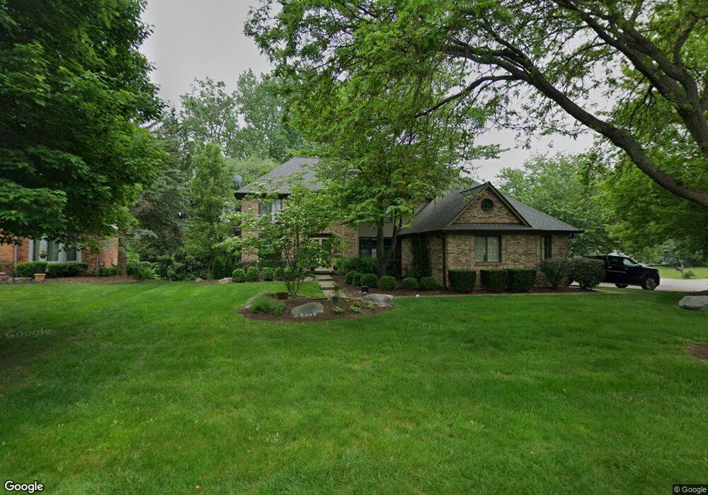
1377 Kingspath Dr Rochester Hills, MI 48306
Estimated Value: $684,152 - $765,000
4
Beds
5
Baths
3,416
Sq Ft
$215/Sq Ft
Est. Value
About This Home
This home is located at 1377 Kingspath Dr, Rochester Hills, MI 48306 and is currently estimated at $735,038, approximately $215 per square foot. 1377 Kingspath Dr is a home located in Oakland County with nearby schools including Musson Elementary School, Van Hoosen Middle School, and Rochester Adams High School.
Ownership History
Date
Name
Owned For
Owner Type
Purchase Details
Closed on
Nov 14, 2007
Sold by
Beech Kevin L and Beech Jennifer L
Bought by
Angel Seth A and Angel Lisa S
Current Estimated Value
Home Financials for this Owner
Home Financials are based on the most recent Mortgage that was taken out on this home.
Original Mortgage
$55,100
Interest Rate
6.47%
Mortgage Type
Stand Alone Second
Purchase Details
Closed on
Aug 3, 2003
Sold by
Mcwherter Carl and Mcwherter Deborah
Bought by
Beech Kevin L and Beech Jennifer L
Purchase Details
Closed on
Dec 21, 1998
Sold by
Elmer E Nagy Tr
Bought by
Mcwherter Carl
Purchase Details
Closed on
Mar 10, 1996
Sold by
Grath Daniel N Mc
Bought by
Palm Steven M
Create a Home Valuation Report for This Property
The Home Valuation Report is an in-depth analysis detailing your home's value as well as a comparison with similar homes in the area
Home Values in the Area
Average Home Value in this Area
Purchase History
| Date | Buyer | Sale Price | Title Company |
|---|---|---|---|
| Angel Seth A | $367,500 | Metropolitan Title Company | |
| Beech Kevin L | $460,000 | -- | |
| Mcwherter Carl | $397,000 | -- | |
| Palm Steven M | $325,900 | -- |
Source: Public Records
Mortgage History
| Date | Status | Borrower | Loan Amount |
|---|---|---|---|
| Closed | Angel Seth A | $55,100 | |
| Open | Angel Seth A | $294,000 |
Source: Public Records
Tax History Compared to Growth
Tax History
| Year | Tax Paid | Tax Assessment Tax Assessment Total Assessment is a certain percentage of the fair market value that is determined by local assessors to be the total taxable value of land and additions on the property. | Land | Improvement |
|---|---|---|---|---|
| 2022 | $3,637 | $255,430 | $0 | $0 |
| 2018 | $5,957 | $229,070 | $0 | $0 |
| 2017 | $5,838 | $226,280 | $0 | $0 |
| 2015 | -- | $213,710 | $0 | $0 |
| 2014 | -- | $194,140 | $0 | $0 |
| 2011 | -- | $165,560 | $0 | $0 |
Source: Public Records
Map
Nearby Homes
- 3640 Camden Ct
- 3634 Camden Ct
- 3674 Merriweather Ln
- 4035 Hillsdale Dr Unit 275
- 3534 Riverside Dr Unit 141
- 3273 Salem Dr
- 3633 Thornwood Dr
- 1906 Independence Ct
- 3879 Teakwood Ln
- 1609 Kilburn Rd N
- 423 Silvervale Dr
- 2935 Woodford Cir
- 5700 Rolling Hills Dr
- 3095 Bridgewater Rd Unit 30
- 3057 Bridgewater Rd
- 3780 Bald Mountain Rd
- 2700 Mohawk Ln
- 3639 Heatherwood Ct
- 5826 Murfield Dr
- 3185 Saint James Ct
- 1371 Kingspath Dr
- 1494 Burhaven Dr
- 1482 Burhaven Dr
- 3626 Charlwood Dr
- 1365 Kingspath Dr
- 3632 Charlwood Dr
- 3620 Charlwood Dr
- 1376 Kingspath Dr
- 3638 Charlwood Dr
- 3614 Charlwood Dr
- 1368 Kingspath Dr
- 1359 Kingspath Dr
- 3608 Charlwood Dr
- 1470 Burhaven Dr
- 3644 Charlwood Dr
- 3259 Parkwood Dr
- 3253 Parkwood Dr
- 1362 Kingspath Dr
- 3265 Parkwood Dr
- 1355 Kingspath Dr