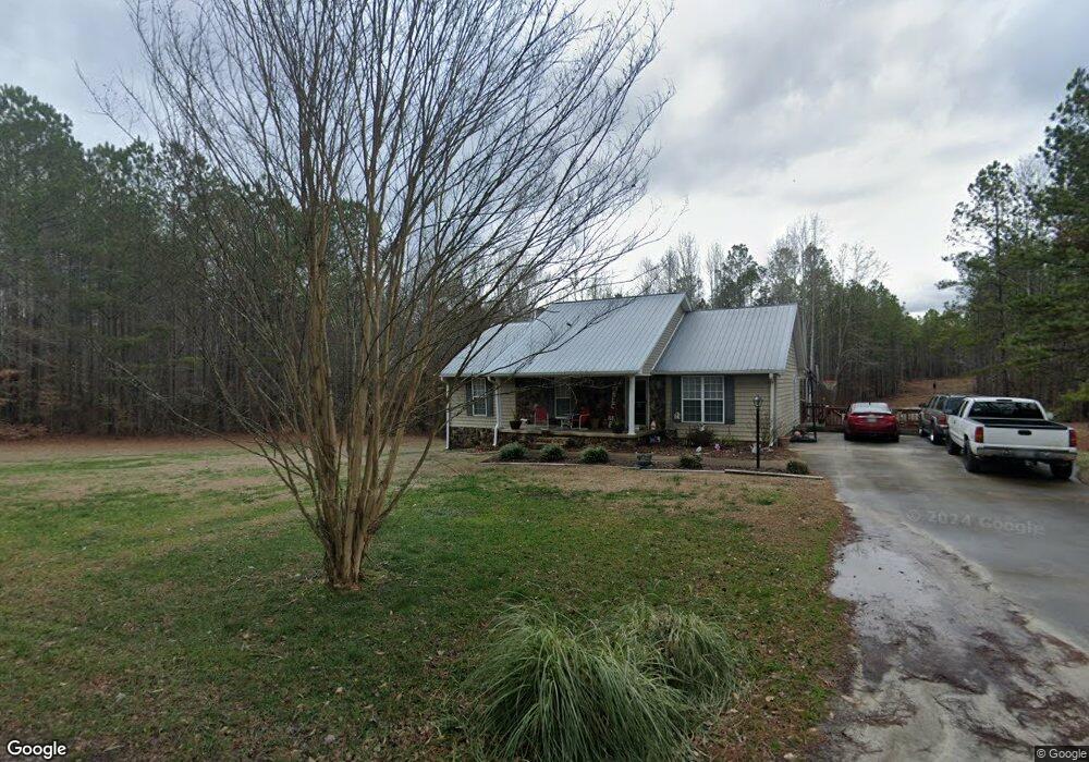
1377 Philpot Rd Buchanan, GA 30113
Estimated Value: $272,000 - $368,000
3
Beds
2
Baths
1,440
Sq Ft
$226/Sq Ft
Est. Value
About This Home
This home is located at 1377 Philpot Rd, Buchanan, GA 30113 and is currently estimated at $325,352, approximately $225 per square foot. 1377 Philpot Rd is a home located in Haralson County with nearby schools including Haralson County High School.
Ownership History
Date
Name
Owned For
Owner Type
Purchase Details
Closed on
Jul 11, 2006
Sold by
Not Provided
Bought by
Fink John F and Fink Sue E
Current Estimated Value
Home Financials for this Owner
Home Financials are based on the most recent Mortgage that was taken out on this home.
Original Mortgage
$150,400
Outstanding Balance
$89,042
Interest Rate
6.6%
Mortgage Type
New Conventional
Estimated Equity
$236,310
Create a Home Valuation Report for This Property
The Home Valuation Report is an in-depth analysis detailing your home's value as well as a comparison with similar homes in the area
Home Values in the Area
Average Home Value in this Area
Purchase History
| Date | Buyer | Sale Price | Title Company |
|---|---|---|---|
| Fink John F | $188,000 | -- |
Source: Public Records
Mortgage History
| Date | Status | Borrower | Loan Amount |
|---|---|---|---|
| Open | Fink John F | $150,400 | |
| Closed | Fink John F | $37,600 |
Source: Public Records
Tax History Compared to Growth
Tax History
| Year | Tax Paid | Tax Assessment Tax Assessment Total Assessment is a certain percentage of the fair market value that is determined by local assessors to be the total taxable value of land and additions on the property. | Land | Improvement |
|---|---|---|---|---|
| 2024 | $2,265 | $89,339 | $7,175 | $82,164 |
| 2023 | $2,336 | $89,130 | $5,964 | $83,166 |
| 2022 | $1,862 | $71,458 | $5,964 | $65,494 |
| 2021 | $1,813 | $66,903 | $5,964 | $60,939 |
| 2020 | $1,841 | $67,622 | $5,964 | $61,658 |
| 2019 | $1,814 | $64,250 | $5,964 | $58,286 |
| 2018 | $1,840 | $64,250 | $5,964 | $58,286 |
| 2017 | $1,806 | $57,547 | $5,964 | $51,583 |
| 2016 | $1,544 | $52,405 | $7,372 | $45,033 |
| 2015 | $1,550 | $52,549 | $7,372 | $45,177 |
| 2014 | $1,561 | $53,714 | $7,372 | $46,342 |
Source: Public Records
Map
Nearby Homes
- 0 Ga Highway 120 - 2 Acres
- 894 Lake Circle Rd
- 728 Lake Circle Rd
- 901 Tallapoosa East Church Rd
- 662 Lake Circle Rd
- 1585 Golden Pond Pass
- 258 Rainey Lake Rd
- 1200 Roy Brown Rd
- 765 Addison Rd
- 703 Addison Rd
- 7474 Highway 27
- 101 3rd Ave
- 91 Rosemary Way
- 96 Rosemary Way
- 80 Rosemary Way
- 40 Red Oak Cir
- 0 Bethlehem Church Rd Unit 7645984
- 262 Corinth-Five Points Rd
- 280 Corinth-Five Points Rd
- 181 Tallapoosa St
- 58 Jewell Ln
- 1099 Mormon Church Rd
- 36 Jewell Ln
- 1108 Mormon Church Rd
- 989 Mormon Church Rd
- 1089 Mormon Church Rd
- 1125 Mormon Church Rd
- 1101 Mormon Church Rd
- 1146 Mormon Church Rd
- 00001 Spence Rd
- 0 Wray Mine Rd Unit 6075869
- 0 Wray Mine Rd Unit 8456055
- 0 Ga Highway 120 Unit 8413998
- 27 County Ln
- 0 Pauper Farm Rd Unit 8358209
- 0 Mt Zion East Church Rd Unit 2874458
- 0 Indian Cove Rd Unit 7200284
- 0 Us Hwy 27 Five Points Rd Unit 8093673
- 00 Rockmart Rd
- 0000 Monroe Mill Rd