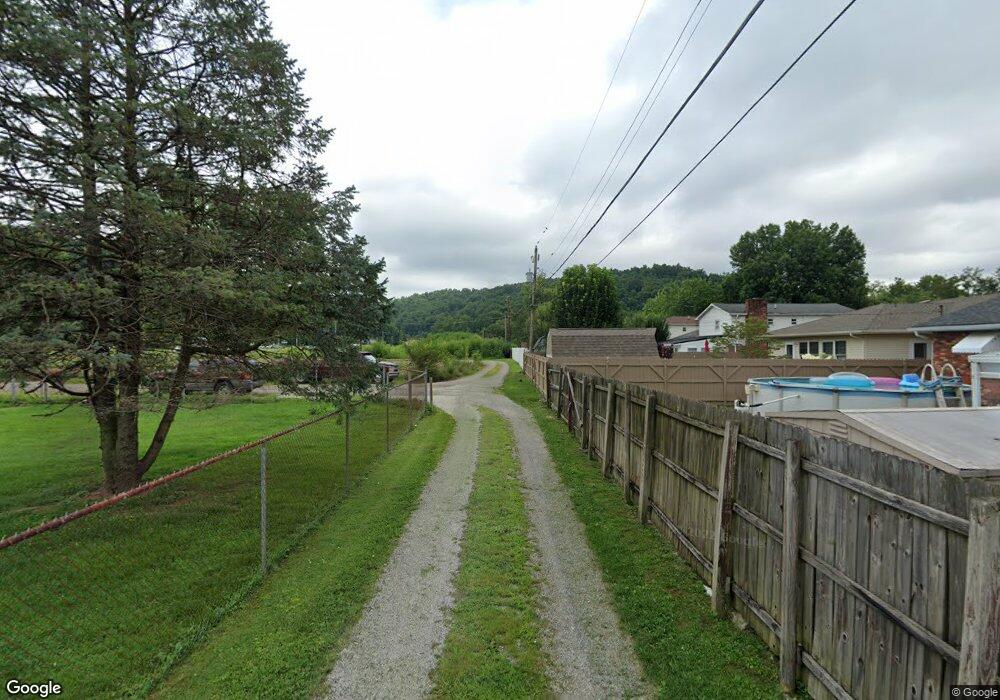
1377 Twp Rd South Point, OH 45680
Clearview NeighborhoodEstimated Value: $161,000 - $182,000
3
Beds
1
Bath
1,184
Sq Ft
$144/Sq Ft
Est. Value
About This Home
This home is located at 1377 Twp Rd, South Point, OH 45680 and is currently estimated at $170,667, approximately $144 per square foot. 1377 Twp Rd is a home with nearby schools including South Point High School.
Ownership History
Date
Name
Owned For
Owner Type
Purchase Details
Closed on
Jan 25, 1995
Sold by
Hayes Fred
Bought by
Ashworth Donald J and Ashworth Dre
Current Estimated Value
Purchase Details
Closed on
Nov 16, 1992
Sold by
Hayes Fred L and Hayes Patty L
Bought by
Hayes Fred Aka Freddie L
Create a Home Valuation Report for This Property
The Home Valuation Report is an in-depth analysis detailing your home's value as well as a comparison with similar homes in the area
Home Values in the Area
Average Home Value in this Area
Purchase History
| Date | Buyer | Sale Price | Title Company |
|---|---|---|---|
| Ashworth Donald J | $50,000 | -- | |
| Hayes Fred Aka Freddie L | -- | -- |
Source: Public Records
Tax History Compared to Growth
Tax History
| Year | Tax Paid | Tax Assessment Tax Assessment Total Assessment is a certain percentage of the fair market value that is determined by local assessors to be the total taxable value of land and additions on the property. | Land | Improvement |
|---|---|---|---|---|
| 2024 | -- | $39,160 | $5,580 | $33,580 |
| 2023 | $1,206 | $39,160 | $5,580 | $33,580 |
| 2022 | $1,205 | $39,160 | $5,580 | $33,580 |
| 2021 | $1,124 | $35,350 | $5,040 | $30,310 |
| 2020 | $1,138 | $35,350 | $5,040 | $30,310 |
| 2019 | $1,132 | $35,350 | $5,040 | $30,310 |
| 2018 | $1,006 | $30,960 | $4,580 | $26,380 |
| 2017 | $1,004 | $30,960 | $4,580 | $26,380 |
| 2016 | $934 | $30,960 | $4,580 | $26,380 |
| 2015 | $921 | $28,770 | $4,380 | $24,390 |
| 2014 | $919 | $28,770 | $4,380 | $24,390 |
| 2013 | $917 | $28,770 | $4,380 | $24,390 |
Source: Public Records
Map
Nearby Homes
- 161 Township Road 1189
- 905 Honeysuckle Ln
- 314 Wadkins St
- 2904 County Road 1
- 614 Gartrell St
- 0 E Ridge St
- 823 Birch St
- 0 Township Road 161 Unit 182331
- 4863 Richardson Rd
- 719 County Road 15
- 5114 Blackburn Ave
- 119 County Road 15
- 1225 County Road 15
- 5023 King Richard Ct
- 0 Wallace St
- 3907 Avery St
- 110 Kitts Ln
- 5037 Robin Hood Dr
- 3421 Central Ave
- 4945 Robin Hood Dr
- 120 Township Road 1377
- 160 Township Road 1377
- 267 Township Road 1186 Unit TWP
- 95 Township Road 1377
- 239 Township Road 1186 Unit TWP
- 178 Private Dr 268
- 178 Private Drive 268
- 92 Township Road 1377
- 81 Township Road 1377
- 72 Private Drive 268
- 78 Township Road 1377
- 262 Township Road 1186 Unit TWP
- 262 Township Road 1186 Unit TWP
- 278 Township Road 1186 Unit TWP
- 294 Township Road 1186 Unit TWP
- 64 Township Road 1377
- 52
- 304 Township Road 1186 Unit TWP
- 220 Township Road 1186
- 220 Township Road 1186 Unit TWP