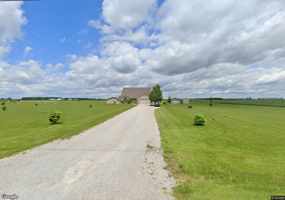
13775 Road 154 Paulding, OH 45879
Estimated Value: $290,000 - $360,000
4
Beds
3
Baths
2,110
Sq Ft
$155/Sq Ft
Est. Value
About This Home
This home is located at 13775 Road 154, Paulding, OH 45879 and is currently estimated at $327,565, approximately $155 per square foot. 13775 Road 154 is a home located in Paulding County with nearby schools including Paulding High School.
Ownership History
Date
Name
Owned For
Owner Type
Purchase Details
Closed on
Jun 6, 2007
Sold by
Shipman Robert K and Shipman Debra D
Bought by
Snipes Edward Bryan and Snipes Brandy D
Current Estimated Value
Home Financials for this Owner
Home Financials are based on the most recent Mortgage that was taken out on this home.
Original Mortgage
$152,880
Outstanding Balance
$95,280
Interest Rate
6.42%
Mortgage Type
Purchase Money Mortgage
Estimated Equity
$232,285
Purchase Details
Closed on
Sep 26, 2002
Bought by
Snipes Edward Bryan Snipes Brandy D
Create a Home Valuation Report for This Property
The Home Valuation Report is an in-depth analysis detailing your home's value as well as a comparison with similar homes in the area
Purchase History
| Date | Buyer | Sale Price | Title Company |
|---|---|---|---|
| Snipes Edward Bryan | $25,000 | None Available | |
| Snipes Edward Bryan Snipes Brandy D | $45,100 | -- |
Source: Public Records
Mortgage History
| Date | Status | Borrower | Loan Amount |
|---|---|---|---|
| Open | Snipes Edward Bryan | $152,880 |
Source: Public Records
Tax History
| Year | Tax Paid | Tax Assessment Tax Assessment Total Assessment is a certain percentage of the fair market value that is determined by local assessors to be the total taxable value of land and additions on the property. | Land | Improvement |
|---|---|---|---|---|
| 2025 | $3,688 | $109,660 | $18,200 | $91,460 |
| 2024 | $3,688 | $83,060 | $14,000 | $69,060 |
| 2023 | $2,993 | $83,060 | $14,000 | $69,060 |
| 2022 | $2,807 | $83,060 | $14,000 | $69,060 |
| 2021 | $2,466 | $60,900 | $14,000 | $46,900 |
| 2020 | $2,356 | $60,900 | $14,000 | $46,900 |
| 2019 | $2,377 | $58,660 | $14,000 | $44,660 |
| 2018 | $2,307 | $58,660 | $14,000 | $44,660 |
| 2017 | $2,309 | $58,660 | $14,000 | $44,660 |
| 2016 | $2,251 | $58,660 | $14,000 | $44,660 |
| 2015 | $2,163 | $57,230 | $12,600 | $44,630 |
| 2014 | $2,002 | $53,270 | $12,600 | $40,670 |
| 2013 | $2,177 | $53,270 | $12,600 | $40,670 |
Source: Public Records
Map
Nearby Homes
- 13688 Kay St
- 741 Tom Tim Dr
- 830 N Walnut St
- 713 N Walnut St
- 516 N Williams St
- 301 N Main St
- 406 N Cherry St
- 701 E Wayne St
- 742 E Perry St
- 215 N Dewitt St
- 780 W Jackson St
- 200 German St
- 520 W Wayne St
- 717 W Harrison St
- 714 W Wayne St
- 15010 U S 127
- 11051 Road 93
- 225 2nd St
- 17341 Road 139
- 14364 Road 171
- 13862 Road 154
- 13725 Road 154
- 13790 Road 154
- 13990 Road 154
- 13756 Road 154
- 13681 Road 154
- 13674 Road 154
- 0 Rd 119 Unit 5101937
- 0 Rd 119 Unit 4595114
- 901 Johnson Rd
- 12724 Dennis St
- 12658 Dennis St
- 12790 Dennis St
- 13957 Kay St
- 869 Johnson Rd
- 871 Johnson Rd
- 13948 Kay St
- 13943 Rita St
- 13879 Kay St
- 863 Johnson Rd
Your Personal Tour Guide
Ask me questions while you tour the home.