13780 S 1075 Rd Stockton, MO 65785
Estimated Value: $130,000 - $197,094
--
Bed
1
Bath
1,064
Sq Ft
$162/Sq Ft
Est. Value
About This Home
This home is located at 13780 S 1075 Rd, Stockton, MO 65785 and is currently estimated at $172,698, approximately $162 per square foot. 13780 S 1075 Rd is a home located in Cedar County with nearby schools including Stockton Elementary School, Stockton Middle School, and Stockton High School.
Ownership History
Date
Name
Owned For
Owner Type
Purchase Details
Closed on
Mar 15, 2024
Sold by
Cole Leslie P
Bought by
Brubaker Anthony and Rohlin Peter James
Current Estimated Value
Purchase Details
Closed on
Nov 5, 2019
Sold by
Jones Michael and Jones Heather
Bought by
Cole Leslie P
Purchase Details
Closed on
Oct 27, 2010
Sold by
L C Farms Inc
Bought by
Jones Michael and Jones Heather
Home Financials for this Owner
Home Financials are based on the most recent Mortgage that was taken out on this home.
Original Mortgage
$140,000
Interest Rate
4.32%
Mortgage Type
Purchase Money Mortgage
Create a Home Valuation Report for This Property
The Home Valuation Report is an in-depth analysis detailing your home's value as well as a comparison with similar homes in the area
Home Values in the Area
Average Home Value in this Area
Purchase History
| Date | Buyer | Sale Price | Title Company |
|---|---|---|---|
| Brubaker Anthony | -- | None Listed On Document | |
| Cole Leslie P | -- | None Available | |
| Jones Michael | -- | None Available |
Source: Public Records
Mortgage History
| Date | Status | Borrower | Loan Amount |
|---|---|---|---|
| Previous Owner | Jones Michael | $140,000 |
Source: Public Records
Tax History Compared to Growth
Tax History
| Year | Tax Paid | Tax Assessment Tax Assessment Total Assessment is a certain percentage of the fair market value that is determined by local assessors to be the total taxable value of land and additions on the property. | Land | Improvement |
|---|---|---|---|---|
| 2025 | $182 | $4,340 | $1,280 | $3,060 |
| 2024 | $182 | $4,140 | $1,220 | $2,920 |
| 2023 | $181 | $4,120 | $0 | $0 |
| 2022 | $181 | $4,120 | $0 | $0 |
| 2021 | $178 | $4,120 | $0 | $0 |
| 2020 | $178 | $4,040 | $0 | $0 |
| 2019 | $173 | $4,040 | $0 | $0 |
| 2018 | $175 | $4,100 | $0 | $0 |
| 2017 | -- | $4,100 | $0 | $0 |
| 2016 | -- | $4,100 | $0 | $0 |
| 2015 | -- | $4,100 | $0 | $0 |
| 2014 | -- | $13,570 | $0 | $0 |
| 2013 | -- | $13,570 | $0 | $0 |
Source: Public Records
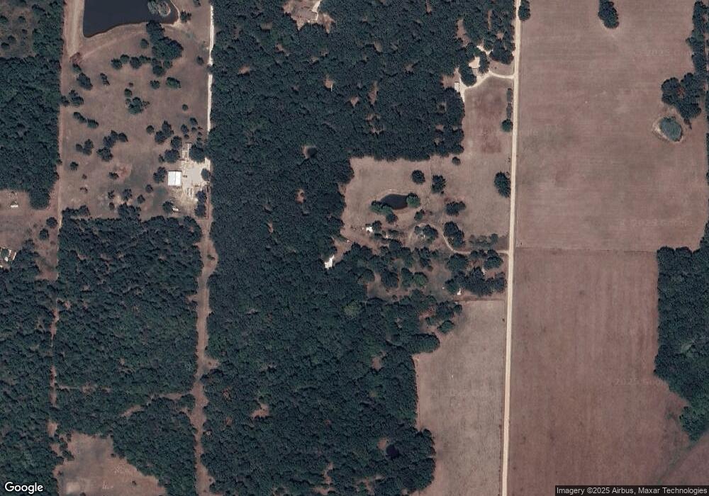
Map
Nearby Homes
- 11861 E 1350 Rd
- 11998 State Hwy 32
- 11998 E Highway 32
- 8400 E 1320 Rd
- 003 E 1400 Rd
- 9990 E 1650 Rd
- 11620 S 1215 Rd
- 11975 E 1100 Rd
- 9661 E 1070 Rd
- 16860 S 1135 Rd
- 13650 State Highway 39
- 10665 S 1275 Rd
- 000 E 1000 Rd
- 12175 S B Hwy
- 004 Gum Springs Dr
- 14500 E 1450 Rd
- 708 West St
- 712 West St
- 602 W Highway 32
- 602 W 32 Hwy