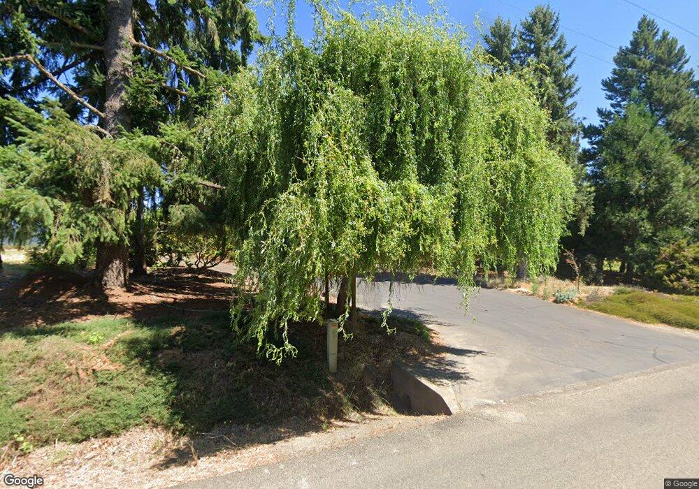
13780 SW Masonville Rd McMinnville, OR 97128
Estimated Value: $709,040 - $882,000
4
Beds
3
Baths
3,188
Sq Ft
$245/Sq Ft
Est. Value
About This Home
This home is located at 13780 SW Masonville Rd, McMinnville, OR 97128 and is currently estimated at $782,260, approximately $245 per square foot. 13780 SW Masonville Rd is a home located in Yamhill County with nearby schools including Memorial Elementary School, Duniway Middle School, and McMinnville High School.
Ownership History
Date
Name
Owned For
Owner Type
Purchase Details
Closed on
Sep 24, 2020
Sold by
Depuy Sharon and Depuy Family Trust
Bought by
Bernards Curtis D and Bernards Jennifer Ann
Current Estimated Value
Home Financials for this Owner
Home Financials are based on the most recent Mortgage that was taken out on this home.
Original Mortgage
$510,400
Outstanding Balance
$451,916
Interest Rate
2.9%
Mortgage Type
New Conventional
Estimated Equity
$330,344
Purchase Details
Closed on
Nov 17, 2015
Sold by
Depuy Cornelius Gilbert and Depuy Sharon Louise
Bought by
The Depuy Family Trust
Create a Home Valuation Report for This Property
The Home Valuation Report is an in-depth analysis detailing your home's value as well as a comparison with similar homes in the area
Home Values in the Area
Average Home Value in this Area
Purchase History
| Date | Buyer | Sale Price | Title Company |
|---|---|---|---|
| Bernards Curtis D | $600,000 | Ticor Title | |
| The Depuy Family Trust | -- | None Available |
Source: Public Records
Mortgage History
| Date | Status | Borrower | Loan Amount |
|---|---|---|---|
| Open | Bernards Curtis D | $510,400 |
Source: Public Records
Tax History Compared to Growth
Tax History
| Year | Tax Paid | Tax Assessment Tax Assessment Total Assessment is a certain percentage of the fair market value that is determined by local assessors to be the total taxable value of land and additions on the property. | Land | Improvement |
|---|---|---|---|---|
| 2025 | $3,988 | $319,739 | -- | -- |
| 2024 | $3,887 | $310,543 | -- | -- |
| 2023 | $3,768 | $301,615 | $0 | $0 |
| 2022 | $3,381 | $292,947 | $0 | $0 |
| 2021 | $3,254 | $280,531 | $0 | $0 |
| 2020 | $3,164 | $272,360 | $0 | $0 |
| 2019 | $3,075 | $264,427 | $0 | $0 |
| 2018 | $2,986 | $256,725 | $0 | $0 |
| 2017 | $2,903 | $249,248 | $0 | $0 |
| 2016 | $2,851 | $241,988 | $0 | $0 |
| 2015 | $2,769 | $234,942 | $0 | $0 |
| 2014 | $2,699 | $228,100 | $0 | $0 |
Source: Public Records
Map
Nearby Homes
- 2488 SW Taylor Dr
- 11946 SE Boyer Rd
- 164 SW Mallard St
- 0 SW River Bend Rd Unit 23596154
- 1526 SW Cypress Ln
- 1700 SW Alexandria St
- 1156 SW Westvale St
- 398 SW Mt Mazama St
- 117 NW Canyon Creek Dr
- 459 SW Howard Dr
- 348 SW Mt Rainier St
- 2898 NW Mount Ashland Ln
- 1145 SW Cypress St Unit 37
- 1145 SW Cypress St Unit 12
- 295 SW Mount Saint Helens St
- 361 SW Howard Dr
- 310 SW Mount Adams St
- 177 SW Mt Mazama St
- 2379 SW Leo St
- 2638 SW Mt Baker St