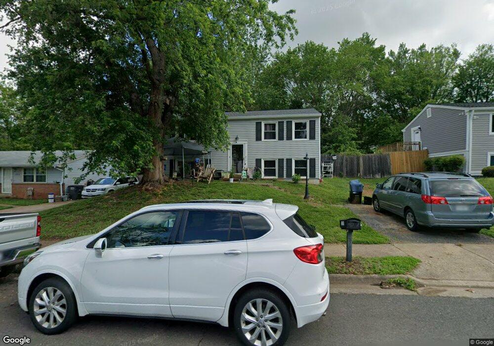
13781 Meadowbrook Rd Woodbridge, VA 22193
Mapledale NeighborhoodEstimated Value: $436,044 - $451,000
3
Beds
2
Baths
816
Sq Ft
$540/Sq Ft
Est. Value
About This Home
This home is located at 13781 Meadowbrook Rd, Woodbridge, VA 22193 and is currently estimated at $440,761, approximately $540 per square foot. 13781 Meadowbrook Rd is a home located in Prince William County with nearby schools including Rosa Parks Elementary School, C.D. Hylton High School, and Stuart M. Beville Middle School.
Ownership History
Date
Name
Owned For
Owner Type
Purchase Details
Closed on
Jan 26, 1996
Sold by
Blair Barbara L
Bought by
King Crystal L
Current Estimated Value
Home Financials for this Owner
Home Financials are based on the most recent Mortgage that was taken out on this home.
Original Mortgage
$101,943
Outstanding Balance
$3,375
Interest Rate
7.13%
Estimated Equity
$437,386
Create a Home Valuation Report for This Property
The Home Valuation Report is an in-depth analysis detailing your home's value as well as a comparison with similar homes in the area
Home Values in the Area
Average Home Value in this Area
Purchase History
| Date | Buyer | Sale Price | Title Company |
|---|---|---|---|
| King Crystal L | $102,000 | -- |
Source: Public Records
Mortgage History
| Date | Status | Borrower | Loan Amount |
|---|---|---|---|
| Open | King Crystal L | $101,943 |
Source: Public Records
Tax History Compared to Growth
Tax History
| Year | Tax Paid | Tax Assessment Tax Assessment Total Assessment is a certain percentage of the fair market value that is determined by local assessors to be the total taxable value of land and additions on the property. | Land | Improvement |
|---|---|---|---|---|
| 2025 | $3,446 | $378,000 | $144,900 | $233,100 |
| 2024 | $3,446 | $346,500 | $134,900 | $211,600 |
| 2023 | $3,496 | $336,000 | $132,100 | $203,900 |
| 2022 | $3,659 | $320,100 | $122,300 | $197,800 |
| 2021 | $3,617 | $292,900 | $110,100 | $182,800 |
| 2020 | $3,954 | $255,100 | $103,900 | $151,200 |
| 2019 | $3,901 | $251,700 | $99,900 | $151,800 |
| 2018 | $2,835 | $234,800 | $96,900 | $137,900 |
| 2017 | $2,758 | $219,500 | $91,400 | $128,100 |
| 2016 | $2,649 | $212,500 | $88,800 | $123,700 |
| 2015 | $2,449 | $203,200 | $85,900 | $117,300 |
| 2014 | $2,449 | $191,700 | $83,400 | $108,300 |
Source: Public Records
Map
Nearby Homes
- 13737 Moccasin Ct
- 5308 Macwood Dr
- 13871 Langstone Dr
- 13918 Lynhurst Dr
- 13441 Kerr Ct
- 14010 Mapledale Ave
- 5678 Roundtree Dr
- 5655 Roundtree Dr
- 14072 Oxbridge Inn Ct
- 4903 Kenyon Ct
- 14160 Landon Ln
- 5020 Quinlan Dr
- 5710 Rhode Island Dr
- 13652 Kingsman Rd
- 5611 Roundtree Dr
- 13540 Kaslo Dr
- 4690 Pearson Dr
- 13546 Kaslo Dr
- 13501 Photo Dr
- 13626 Kingsman Rd
- 13779 Meadowbrook Rd
- 13783 Meadowbrook Rd
- 13717 Mayfair Ct
- 13785 Meadowbrook Rd
- 13777 Meadowbrook Rd
- 13744 Moccasin Ct
- 13780 Meadowbrook Rd
- 13778 Meadowbrook Rd
- 13738 Moccasin Ct
- 13748 Moccasin Ct
- 13782 Meadowbrook Rd
- 13776 Meadowbrook Rd
- 13715 Mayfair Ct
- 13787 Meadowbrook Rd
- 13736 Moccasin Ct
- 13784 Meadowbrook Rd
- 13774 Meadowbrook Rd
- 13734 Moccasin Ct
- 13716 Mayfair Ct
- 13786 Meadowbrook Rd