13786 Apache Trail Garfield, AR 72732
Estimated Value: $846,000 - $1,695,976
Studio
1
Bath
3,048
Sq Ft
$374/Sq Ft
Est. Value
About This Home
This home is located at 13786 Apache Trail, Garfield, AR 72732 and is currently estimated at $1,140,994, approximately $374 per square foot. 13786 Apache Trail is a home located in Benton County with nearby schools including Garfield Elementary School, Lingle Middle School, and Rogers Heritage High School.
Ownership History
Date
Name
Owned For
Owner Type
Purchase Details
Closed on
Oct 5, 2016
Sold by
Allison Christopher B
Bought by
Tillery Allison Christopher B and Tillery Allison Sarah Dea
Current Estimated Value
Purchase Details
Closed on
Nov 2, 2000
Bought by
Allison
Purchase Details
Closed on
Nov 21, 1996
Bought by
Jones
Purchase Details
Closed on
Jul 18, 1986
Bought by
Craft Reano
Purchase Details
Closed on
Sep 6, 1974
Bought by
Craft
Create a Home Valuation Report for This Property
The Home Valuation Report is an in-depth analysis detailing your home's value as well as a comparison with similar homes in the area
Purchase History
| Date | Buyer | Sale Price | Title Company |
|---|---|---|---|
| Tillery Allison Christopher B | -- | None Available | |
| Allison | $89,000 | -- | |
| Jones | $60,000 | -- | |
| Craft Reano | -- | -- | |
| Craft | $13,000 | -- |
Source: Public Records
Mortgage History
| Date | Status | Borrower | Loan Amount |
|---|---|---|---|
| Open | Craft | $593,300 |
Source: Public Records
Tax History
| Year | Tax Paid | Tax Assessment Tax Assessment Total Assessment is a certain percentage of the fair market value that is determined by local assessors to be the total taxable value of land and additions on the property. | Land | Improvement |
|---|---|---|---|---|
| 2025 | $8,996 | $231,339 | $15,000 | $216,339 |
| 2024 | $8,115 | $231,339 | $15,000 | $216,339 |
| 2023 | $7,378 | $153,380 | $15,000 | $138,380 |
| 2022 | $8,274 | $153,380 | $15,000 | $138,380 |
| 2021 | $8,252 | $153,380 | $15,000 | $138,380 |
| 2020 | $444 | $8,600 | $8,600 | $0 |
| 2019 | $444 | $8,600 | $8,600 | $0 |
| 2018 | $444 | $8,600 | $8,600 | $0 |
| 2017 | $1,496 | $8,600 | $8,600 | $0 |
| 2016 | $1,496 | $27,470 | $8,600 | $18,870 |
| 2015 | $1,281 | $26,630 | $8,000 | $18,630 |
| 2014 | $1,456 | $26,630 | $8,000 | $18,630 |
Source: Public Records
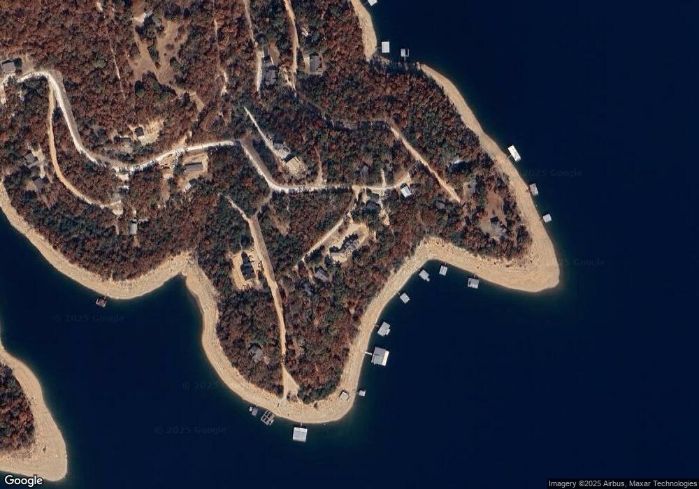
Map
Nearby Homes
- 0 Tomahawk Ln Unit 1327333
- 21995 Indian Bluff Rd
- 14087 Ozark Dr
- 22288 Sunrise Cove Rd
- 0 Sunrise Cove Rd
- 22702 Dam Site Loop
- 0 Tbd Tract 5 Dam Site Loop
- 0 Loop
- 0 Dam Site Rd Unit 1258827
- 0 Tbd Tract 4 Dam Site Loop
- 13665 Shaffer Rd
- 13501 Arrow Ln
- 13552 Indian Bow Cir
- 29511 Pine Log Dr
- 21491 Vista Shores Dr
- 0 Highland Lake Dr Unit 1269331
- 14417 Indian Creek Rd
- Lot 1 Shaffer Rd
- 15105 Indian Creek Rd
- 22017 Pine Log Rd
- 0 Lil Dr
- 13766 Apache Trail
- 13816 Apache Trail
- 22439 Indian Point Rd
- 13764 Apache Trail
- 2286 Apache Trail
- 22418 Tomahawk Ln
- 22448 Indian Point Rd
- 22472 Indian Point Rd
- 1 Tomahawk Ln
- 22483 Indian Point Rd
- 22408 Tomahawk Ln
- 13839 Deepwater Dr
- 17 Deepwater
- Lot 9 Deep Water Dr
- 22600 Folsom Point
- 110 Deepwater Dr
- 0 Deepwater Dr
- 22407 Tomahawk Ln
- Lot 11 Deep Water Dr
Your Personal Tour Guide
Ask me questions while you tour the home.