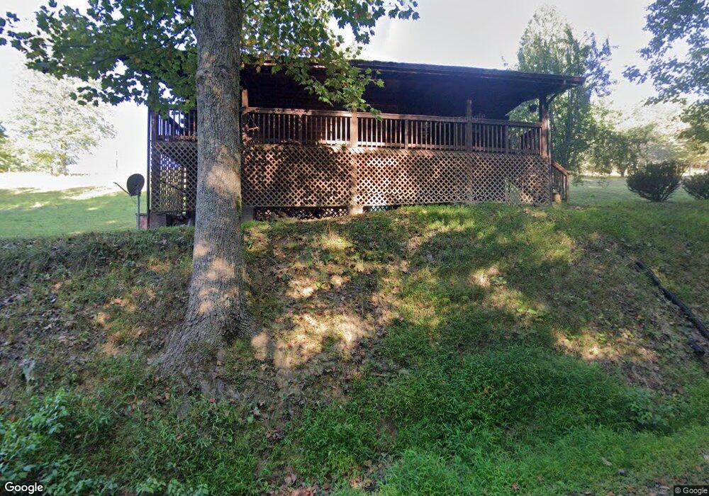
1379 Robin Rd Sutton, WV 26601
Estimated Value: $103,000 - $197,000
1
Bed
2
Baths
864
Sq Ft
$165/Sq Ft
Est. Value
About This Home
This home is located at 1379 Robin Rd, Sutton, WV 26601 and is currently estimated at $142,831, approximately $165 per square foot. 1379 Robin Rd is a home with nearby schools including Braxton County High School.
Create a Home Valuation Report for This Property
The Home Valuation Report is an in-depth analysis detailing your home's value as well as a comparison with similar homes in the area
Tax History
| Year | Tax Paid | Tax Assessment Tax Assessment Total Assessment is a certain percentage of the fair market value that is determined by local assessors to be the total taxable value of land and additions on the property. | Land | Improvement |
|---|---|---|---|---|
| 2025 | $287 | $57,300 | $8,940 | $48,360 |
| 2024 | $287 | $52,980 | $8,100 | $44,880 |
| 2023 | $247 | $52,080 | $8,100 | $43,980 |
| 2022 | $248 | $51,900 | $8,100 | $43,800 |
| 2021 | $225 | $48,840 | $7,560 | $41,280 |
| 2020 | $210 | $46,980 | $7,380 | $39,600 |
| 2019 | $198 | $45,120 | $7,140 | $37,980 |
| 2018 | $189 | $43,980 | $6,960 | $37,020 |
| 2017 | $175 | $41,940 | $6,360 | $35,580 |
| 2016 | $181 | $42,660 | $6,360 | $36,300 |
| 2015 | $351 | $43,800 | $5,820 | $37,980 |
| 2014 | -- | $38,880 | $4,380 | $34,500 |
Source: Public Records
Map
Nearby Homes
- 815 Stony Creek Rd
- 3847 Lake Lane Rd
- 754 Days Dr Unit 6
- 746 Days Dr Unit 4
- 738 Days Dr Unit 2
- 3147 Lake Lane Rd
- 339 Gauley Turnpike
- 290 Mountain View Dr
- 101 Dogwood Trail
- 94 Dogwood Trail
- 252 Family Place Ln
- 577 Curry Ridge Rd
- TBD Buckeye Creek Rd
- 000 Hawk's View Ln
- 280 S Charles St
- 304 River View Dr
- 7265 Bug Ridge Rd
- 210 Main St
- 0 Wolf Creek Rd
- 196 Fairview St
- 133 Robin Rd
- 1451 Robin Rd
- 1508 Robin Rd
- 1507 Robin Rd
- 522 Dennison Rd
- 153 Dennison Rd
- 283 Dennison Rd
- 1779 McClain Ridge Rd
- 1714 McClain Ridge Rd
- 110 Hemi Mountain Rd
- 1641 McClain Ridge Rd
- 807 Robin Rd
- 1439 McClain Ridge Rd
- 4 Craft Dr
- 163 Hemi Mountain Rd
- 623 Robin Rd
- 1090 Dennison Rd
- 587 Robin Rd
- 930 McClain Ridge Rd
- 1418 Dennison Rd
Your Personal Tour Guide
Ask me questions while you tour the home.