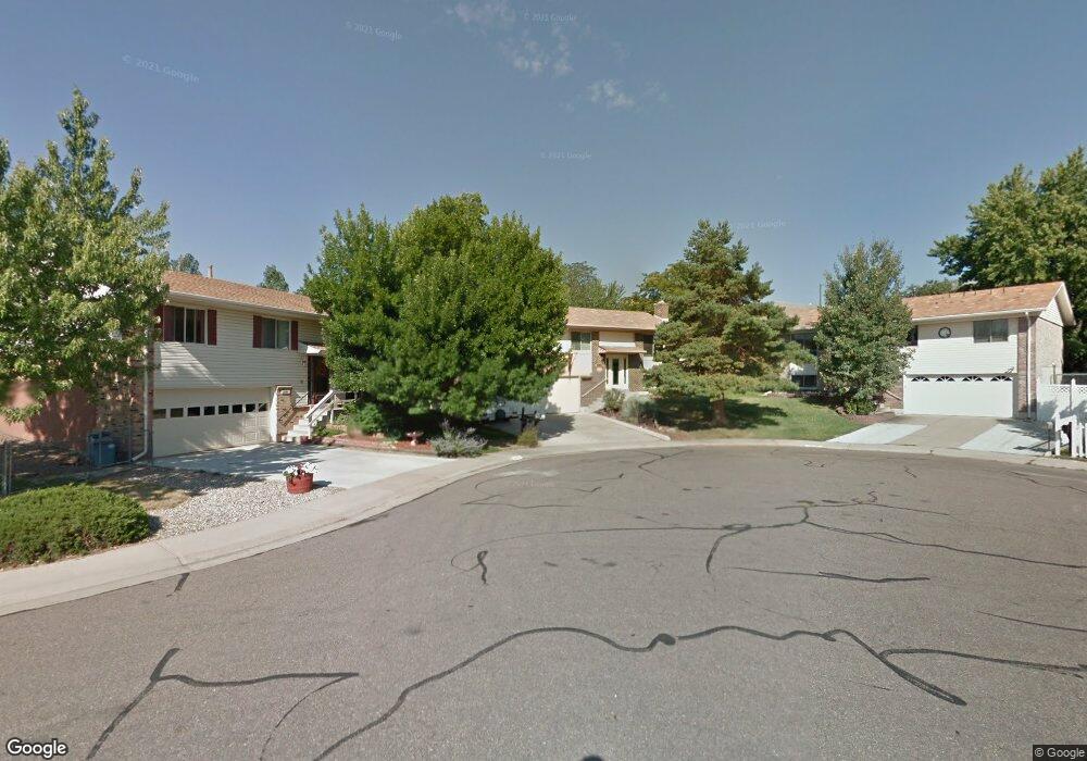
13793 W Asbury Cir Lakewood, CO 80228
Green Mountain NeighborhoodEstimated Value: $636,000 - $672,000
3
Beds
3
Baths
1,261
Sq Ft
$521/Sq Ft
Est. Value
About This Home
This home is located at 13793 W Asbury Cir, Lakewood, CO 80228 and is currently estimated at $656,515, approximately $520 per square foot. 13793 W Asbury Cir is a home located in Jefferson County with nearby schools including Rooney Ranch Elementary School, Dunstan Middle School, and Green Mountain High School.
Ownership History
Date
Name
Owned For
Owner Type
Purchase Details
Closed on
Jul 25, 2016
Sold by
Duran Arthuro P and Duran Beggy J
Bought by
Duran Arthur P and Duran Peggy E
Current Estimated Value
Home Financials for this Owner
Home Financials are based on the most recent Mortgage that was taken out on this home.
Original Mortgage
$565,500
Interest Rate
4.55%
Mortgage Type
Reverse Mortgage Home Equity Conversion Mortgage
Purchase Details
Closed on
Mar 1, 2000
Sold by
Duran Arthuro F Duran Peggy J
Bought by
Duran Arthuro P and Duran Peggy J
Home Financials for this Owner
Home Financials are based on the most recent Mortgage that was taken out on this home.
Original Mortgage
$50,000
Interest Rate
9.2%
Create a Home Valuation Report for This Property
The Home Valuation Report is an in-depth analysis detailing your home's value as well as a comparison with similar homes in the area
Home Values in the Area
Average Home Value in this Area
Purchase History
| Date | Buyer | Sale Price | Title Company |
|---|---|---|---|
| Duran Arthur P | -- | First American | |
| Duran Arthuro P | -- | -- |
Source: Public Records
Mortgage History
| Date | Status | Borrower | Loan Amount |
|---|---|---|---|
| Closed | Duran Arthur P | $565,500 | |
| Closed | Duran Arthuro P | $50,000 |
Source: Public Records
Tax History Compared to Growth
Tax History
| Year | Tax Paid | Tax Assessment Tax Assessment Total Assessment is a certain percentage of the fair market value that is determined by local assessors to be the total taxable value of land and additions on the property. | Land | Improvement |
|---|---|---|---|---|
| 2024 | $3,260 | $42,850 | $20,224 | $22,626 |
| 2023 | $3,260 | $42,850 | $20,224 | $22,626 |
| 2022 | $2,373 | $32,668 | $15,261 | $17,407 |
| 2021 | $2,407 | $33,608 | $15,700 | $17,908 |
| 2020 | $2,159 | $30,994 | $14,175 | $16,819 |
| 2019 | $2,131 | $30,994 | $14,175 | $16,819 |
| 2018 | $1,915 | $27,921 | $8,583 | $19,338 |
| 2017 | $1,683 | $27,921 | $8,583 | $19,338 |
| 2016 | $1,528 | $25,510 | $8,428 | $17,082 |
| 2015 | $1,223 | $25,510 | $8,428 | $17,082 |
| 2014 | $1,223 | $20,832 | $7,833 | $12,999 |
Source: Public Records
Map
Nearby Homes
- 1697 S Cole St Unit C2
- 1655 S Cole St Unit B1
- 13934 W Warren Dr
- 1648 S Cole St Unit B7
- 2175 S Deframe St
- 13233 W Utah Cir
- 1882 S Zinnia Way
- 13804 W Iliff Ave
- 2336 S Eldridge Ct
- 13231 W Montana Ave
- 1650 S Deframe St Unit B5
- 2332 S Fig St
- 2037 S Welch Cir
- 1825 S Zang Ct
- 13126 W Warren Cir
- 13195 W Yale Place
- 2540 S Deframe St
- 12948 W Oregon Dr
- 2703 S Cole Ct
- 2663 S Deframe Cir
- 13789 W Asbury Cir
- 13797 W Asbury Cir
- 13814 W Atlantic Ave
- 13785 W Asbury Cir
- 13815 W Atlantic Ave
- 1967 S Deframe St
- 13781 W Asbury Cir
- 13824 W Atlantic Ave
- 13788 W Asbury Cir
- 13825 W Atlantic Ave
- 1969 S Deframe St
- 13798 W Asbury Cir
- 13777 W Asbury Cir
- 1977 S Deframe St
- 1973 S Deframe St
- 13835 W Atlantic Ave
- 1958 S Deframe Way
- 13778 W Asbury Cir
- 13844 W Atlantic Ave
- 1962 S Deframe Way