Estimated Value: $296,000 - $593,000
1
Bed
1
Bath
2,329
Sq Ft
$198/Sq Ft
Est. Value
About This Home
This home is located at 13795 Private Drive 8114, Rolla, MO 65401 and is currently estimated at $460,333, approximately $197 per square foot. 13795 Private Drive 8114 is a home located in Phelps County with nearby schools including Rolla Junior High School, Rolla Senior High School, and Immanuel Lutheran School.
Ownership History
Date
Name
Owned For
Owner Type
Purchase Details
Closed on
Oct 3, 2025
Sold by
Matlock Donald P and Matlock Donna L
Bought by
Loco Timothy P
Current Estimated Value
Home Financials for this Owner
Home Financials are based on the most recent Mortgage that was taken out on this home.
Original Mortgage
$340,010
Outstanding Balance
$337,604
Interest Rate
5.69%
Mortgage Type
Construction
Estimated Equity
$122,729
Purchase Details
Closed on
Jun 17, 2016
Purchase Details
Closed on
Jun 9, 2009
Purchase Details
Closed on
Nov 21, 2006
Purchase Details
Closed on
Jan 5, 2006
Purchase Details
Closed on
Aug 5, 2005
Purchase Details
Closed on
Jan 26, 2004
Purchase Details
Closed on
Jun 4, 2002
Purchase Details
Closed on
Jun 28, 1984
Purchase Details
Closed on
May 24, 1983
Purchase Details
Closed on
Oct 7, 1981
Purchase Details
Closed on
Jul 27, 1981
Purchase Details
Closed on
Jul 27, 1977
Create a Home Valuation Report for This Property
The Home Valuation Report is an in-depth analysis detailing your home's value as well as a comparison with similar homes in the area
Purchase History
| Date | Buyer | Sale Price | Title Company |
|---|---|---|---|
| Loco Timothy P | $333,210 | Wiggins Abs Co | |
| -- | -- | -- | |
| -- | -- | -- | |
| -- | -- | -- | |
| -- | -- | -- | |
| -- | -- | -- | |
| -- | -- | -- | |
| -- | -- | -- | |
| -- | -- | -- | |
| -- | -- | -- | |
| -- | -- | -- | |
| -- | -- | -- | |
| -- | -- | -- |
Source: Public Records
Mortgage History
| Date | Status | Borrower | Loan Amount |
|---|---|---|---|
| Open | Loco Timothy P | $340,010 |
Source: Public Records
Tax History Compared to Growth
Tax History
| Year | Tax Paid | Tax Assessment Tax Assessment Total Assessment is a certain percentage of the fair market value that is determined by local assessors to be the total taxable value of land and additions on the property. | Land | Improvement |
|---|---|---|---|---|
| 2025 | $122 | $2,270 | $1,940 | $330 |
| 2024 | $100 | $1,960 | $1,630 | $330 |
| 2023 | $101 | $1,960 | $1,630 | $330 |
| 2022 | $85 | $1,960 | $1,630 | $330 |
| 2021 | $85 | $1,960 | $1,630 | $330 |
| 2020 | $87 | $1,960 | $1,630 | $330 |
| 2019 | $81 | $1,830 | $1,630 | $200 |
| 2018 | $651 | $14,820 | $4,010 | $10,810 |
| 2017 | $651 | $14,850 | $4,040 | $10,810 |
| 2016 | $629 | $14,850 | $4,040 | $10,810 |
| 2015 | -- | $14,850 | $4,040 | $10,810 |
| 2014 | -- | $14,940 | $4,130 | $10,810 |
| 2013 | -- | $14,940 | $0 | $0 |
Source: Public Records
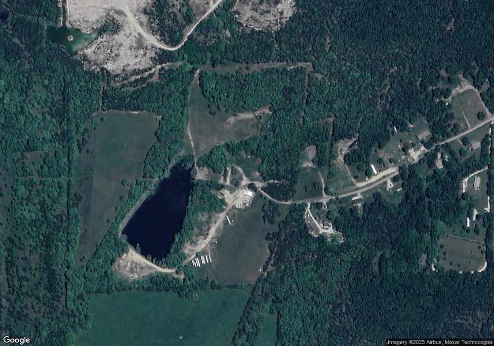
Map
Nearby Homes
- 0 Lot 4 Arnold Park Lot N A Unit HMS2572359
- Lot 2 Arnold Park Lot N A
- 5405 Hemlock Rd
- 11240 State Hwy E
- 14525 State Route Y
- 0 Yale Avenue Lot 48 Unit 18039578
- 0 Columbia Avenue Lot 12 Unit 18039501
- 0 Yale Avenue Lot 43 Unit 18039529
- 1400 Nagogami Rd
- 0 Yale Avenue Lot 44 Unit 18039532
- 0 Yale Avenue Lot 45 Unit 18039534
- 0 Columbia Avenue Lot 20 Unit 18039513
- 0 Columbia Avenue Lot 21 Unit 18039514
- 13600 County Road 7040
- TBD Bluebird Ln
- 1022 Lynwood Dr
- 403 S Adrian Ave
- 2400 Vichy Rd
- 1000 N Pine St
- 922 Oak Lane Dr Unit 926
- 13675 Private Drive 8114
- 13760 Private Drive 8114
- 13750 Private Drive 8114
- 13690 Private Drive 8114
- 13651 Private Drive 8114
- 13626 Private Drive 8114 Unit 13630
- 13546 Private Drive 8114
- 13571 Private Drive 8114
- 13571 Pd 8114
- 13590 Private Drive 8114
- 13544 Private Drive 8114
- 0 County Roads 8120 and 8150
- 13410 State Route Y
- 13551 State Route Y
- 13585 State Route Y
- 13621 State Route Y
- 0 Private Drive 4036 Unit 17093420
- 0 Private Drive 4036 Unit 13010141
- 13425 State Route Y
- 11024 Orchard Hills Dr Unit 11026