Estimated Value: $353,000 - $407,724
4
Beds
2
Baths
1,980
Sq Ft
$196/Sq Ft
Est. Value
About This Home
This home is located at 13798 Buckhorn Rd, Glide, OR 97443 and is currently estimated at $388,431, approximately $196 per square foot. 13798 Buckhorn Rd is a home located in Douglas County with nearby schools including Glide Elementary School, Glide Middle School, and Glide High School.
Ownership History
Date
Name
Owned For
Owner Type
Purchase Details
Closed on
Feb 5, 2025
Sold by
Kratzmeyer Billy Joe
Bought by
Page Tony B and Page Joel M
Current Estimated Value
Purchase Details
Closed on
Nov 20, 2023
Sold by
Kratzmeyer Darlene M
Bought by
Kratzmeyer Darlene M and Page Joel M
Purchase Details
Closed on
Aug 13, 2010
Sold by
Ode John David
Bought by
Ode Judy E
Home Financials for this Owner
Home Financials are based on the most recent Mortgage that was taken out on this home.
Original Mortgage
$140,000
Interest Rate
4.79%
Mortgage Type
New Conventional
Purchase Details
Closed on
Jul 9, 2010
Sold by
Moore David
Bought by
Page Darlene M
Home Financials for this Owner
Home Financials are based on the most recent Mortgage that was taken out on this home.
Original Mortgage
$140,000
Interest Rate
4.79%
Mortgage Type
New Conventional
Create a Home Valuation Report for This Property
The Home Valuation Report is an in-depth analysis detailing your home's value as well as a comparison with similar homes in the area
Purchase History
| Date | Buyer | Sale Price | Title Company |
|---|---|---|---|
| Page Tony B | -- | None Listed On Document | |
| Kratzmeyer Darlene M | -- | None Listed On Document | |
| Ode Judy E | -- | Ticor Title | |
| Page Darlene M | -- | Amerititle | |
| Page Darlene | -- | Amerititle |
Source: Public Records
Mortgage History
| Date | Status | Borrower | Loan Amount |
|---|---|---|---|
| Previous Owner | Page Darlene M | $140,000 |
Source: Public Records
Tax History
| Year | Tax Paid | Tax Assessment Tax Assessment Total Assessment is a certain percentage of the fair market value that is determined by local assessors to be the total taxable value of land and additions on the property. | Land | Improvement |
|---|---|---|---|---|
| 2025 | $2,255 | $242,502 | -- | -- |
| 2024 | $2,173 | $235,439 | -- | -- |
| 2023 | $2,124 | $228,582 | $0 | $0 |
| 2022 | $2,015 | $221,925 | $0 | $0 |
| 2021 | $2,009 | $215,462 | $0 | $0 |
| 2020 | $1,966 | $209,187 | $0 | $0 |
| 2019 | $1,923 | $203,095 | $0 | $0 |
| 2018 | $1,862 | $197,180 | $0 | $0 |
| 2017 | $1,828 | $191,437 | $0 | $0 |
| 2016 | $1,777 | $185,862 | $0 | $0 |
| 2015 | $1,733 | $180,449 | $0 | $0 |
| 2014 | $1,693 | $175,194 | $0 | $0 |
| 2013 | -- | $170,092 | $0 | $0 |
Source: Public Records
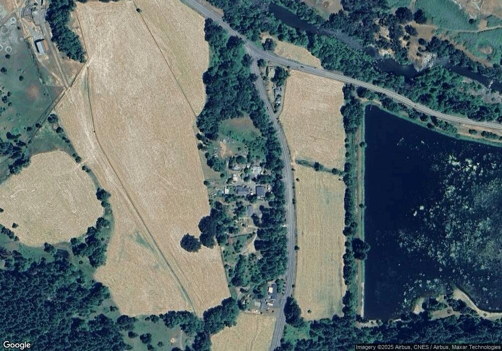
Map
Nearby Homes
- 14536 Little River Rd
- 123 Mountain View
- 267 Mountain View
- 0 Park St
- 106 Odille Ct
- 411 Upper Terrace Ln
- 283 Upper Terrace Ln
- 261 S Estella St
- 610 Terrace Dr
- 175 Doe Rd
- 3413 Wild River Dr
- 369 Upper Camp Loop Rd
- 781 Pine Ridge Dr
- 225 Doraleen Ln
- 900 Old Cabin Dr
- 418 Rivershore Dr
- 1884 Wild River Dr
- 121 Wild Goose Ln
- 1176 Whistlers Ln
- 400 Newbridge Rd
- 13780 Buckhorn Rd
- 13756 Buckhorn Rd
- 13660 Buckhorn Rd
- 13512 Buckhorn Rd
- 1187 Little River Rd
- 1127 Little River Rd
- 1089 Little River Rd
- 0 Buckhorn Rd
- 11492 Buckhorn Rd
- 1071 Little River Rd
- 2181 Little River Rd
- 193 Woodview Dr
- 951 Little River Rd
- 118 Schloeman Ln
- 1980 Little River Rd
- 197 Woodview Dr
- 199 Woodview Dr
- 168 Schloeman Ln
- 0 Little River Rd Unit 226638
- 0 Little River Rd Unit 105258611
Your Personal Tour Guide
Ask me questions while you tour the home.