138 Azzilee Cir Locust Fork, AL 35097
Estimated Value: $236,000 - $259,385
--
Bed
--
Bath
1,300
Sq Ft
$191/Sq Ft
Est. Value
About This Home
This home is located at 138 Azzilee Cir, Locust Fork, AL 35097 and is currently estimated at $248,596, approximately $191 per square foot. 138 Azzilee Cir is a home located in Blount County with nearby schools including Locust Fork Elementary School and Locust Fork High School.
Ownership History
Date
Name
Owned For
Owner Type
Purchase Details
Closed on
Sep 27, 2005
Sold by
Donnie Pair Builders Inc
Bought by
Cox Kevin and Cox Marilyn
Current Estimated Value
Home Financials for this Owner
Home Financials are based on the most recent Mortgage that was taken out on this home.
Original Mortgage
$26,950
Interest Rate
5.66%
Mortgage Type
Unknown
Purchase Details
Closed on
Feb 21, 2005
Sold by
Cain John and Thomas Carl
Bought by
Donnie Pair Builders Inc
Create a Home Valuation Report for This Property
The Home Valuation Report is an in-depth analysis detailing your home's value as well as a comparison with similar homes in the area
Home Values in the Area
Average Home Value in this Area
Purchase History
| Date | Buyer | Sale Price | Title Company |
|---|---|---|---|
| Cox Kevin | $134,818 | -- | |
| Donnie Pair Builders Inc | $10,000 | -- |
Source: Public Records
Mortgage History
| Date | Status | Borrower | Loan Amount |
|---|---|---|---|
| Closed | Cox Kevin | $26,950 | |
| Open | Cox Kevin | $107,850 |
Source: Public Records
Tax History Compared to Growth
Tax History
| Year | Tax Paid | Tax Assessment Tax Assessment Total Assessment is a certain percentage of the fair market value that is determined by local assessors to be the total taxable value of land and additions on the property. | Land | Improvement |
|---|---|---|---|---|
| 2024 | $748 | $21,720 | $2,000 | $19,720 |
| 2023 | $757 | $20,420 | $2,000 | $18,420 |
| 2022 | $702 | $20,260 | $1,860 | $18,400 |
| 2021 | $583 | $17,080 | $1,940 | $15,140 |
| 2020 | $555 | $15,020 | $1,860 | $13,160 |
| 2019 | $505 | $15,020 | $1,860 | $13,160 |
| 2018 | $505 | $15,020 | $1,860 | $13,160 |
| 2017 | $467 | $14,000 | $0 | $0 |
| 2015 | $467 | $14,000 | $0 | $0 |
| 2014 | -- | $13,320 | $0 | $0 |
| 2013 | -- | $13,260 | $0 | $0 |
Source: Public Records
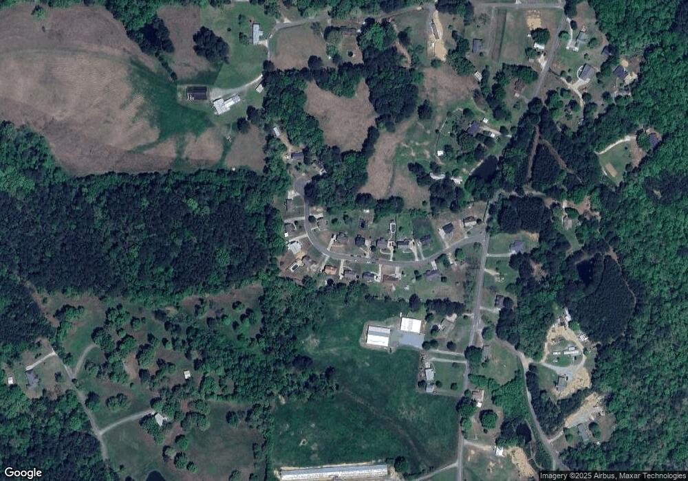
Map
Nearby Homes
- 29542 Alabama 79
- 159 Ray Dr
- 89 Pine Tree Dr
- 178 Jerry Marsh Rd
- 380 Jerry Marsh Rd
- #0 Shady Point Rd
- 3251 County Highway 13
- 2898 County Highway 15
- 31730 Alabama 79
- 496 Tawbush Rd
- 0 Center Hill Rd Unit 21411639
- 707 Saint Andrews Pkwy
- 265 Riverview Dr
- Lot 104 Muirfield Cir Unit 104
- 1129 Baty Rd
- 32510 Alabama 79
- 1065 Saint Andrews Pkwy
- 25942 Alabama 79
- 1166 Saint Andrews Pkwy Unit 76A, 76 & 77A
- 0 Bellerive Cir Unit 21390746
- 120 Azzilee Cir
- 170 Azzilee Cir
- 100 Azzilee Cir
- 125 Azzilee Cir
- 155 Azzilee Cir
- 141 Azzilee Cir
- 163 Azzilee Cir
- 101 Azzilee Cir
- 76 Azzilee Cir
- 175 Azzilee Cir
- 208 Azzilee Cir
- 199 Azzilee Cir
- 89 Azzilee Cir
- 89 Azzilee Cir
- 56 Azzilee Cir
- 55 Azzilee Cir
- 12 Azzilee Cir Unit 1
- 211 Azzilee Cir
- 24 Azzilee Cir
- 6177 Spunky Hollow Rd