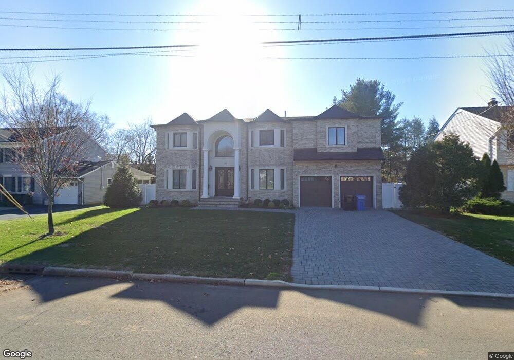
138 Birchwood Rd Paramus, NJ 07652
Estimated Value: $2,163,000 - $2,356,000
6
Beds
6
Baths
4,567
Sq Ft
$485/Sq Ft
Est. Value
About This Home
This home is located at 138 Birchwood Rd, Paramus, NJ 07652 and is currently estimated at $2,216,826, approximately $485 per square foot. 138 Birchwood Rd is a home located in Bergen County with nearby schools including Paramus High School, Alpine Learning Group, and Naaleh High School for Girls.
Ownership History
Date
Name
Owned For
Owner Type
Purchase Details
Closed on
Mar 9, 2020
Sold by
Paramnish Builders Llc
Bought by
Walters Anthony and Walters Sheri
Current Estimated Value
Home Financials for this Owner
Home Financials are based on the most recent Mortgage that was taken out on this home.
Original Mortgage
$1,000,000
Interest Rate
3.5%
Mortgage Type
New Conventional
Purchase Details
Closed on
Apr 3, 2019
Sold by
Lupo Francis J and Trude Lupo R
Bought by
Paramnish Builders Llc
Purchase Details
Closed on
Apr 4, 2012
Sold by
Estate Of James V Lupo
Bought by
Lupo Rosemarie Trude
Create a Home Valuation Report for This Property
The Home Valuation Report is an in-depth analysis detailing your home's value as well as a comparison with similar homes in the area
Home Values in the Area
Average Home Value in this Area
Purchase History
| Date | Buyer | Sale Price | Title Company |
|---|---|---|---|
| Walters Anthony | $1,450,000 | Primary Title Services Llc | |
| Paramnish Builders Llc | $526,000 | -- | |
| Lupo Rosemarie Trude | -- | -- |
Source: Public Records
Mortgage History
| Date | Status | Borrower | Loan Amount |
|---|---|---|---|
| Previous Owner | Walters Anthony | $1,000,000 |
Source: Public Records
Tax History
| Year | Tax Paid | Tax Assessment Tax Assessment Total Assessment is a certain percentage of the fair market value that is determined by local assessors to be the total taxable value of land and additions on the property. | Land | Improvement |
|---|---|---|---|---|
| 2025 | $24,086 | $1,687,200 | $396,000 | $1,291,200 |
| 2024 | $23,469 | $1,590,900 | $361,400 | $1,229,500 |
| 2023 | $22,305 | $1,529,900 | $344,100 | $1,185,800 |
| 2022 | $22,305 | $1,437,200 | $320,600 | $1,116,600 |
| 2021 | $21,810 | $1,334,300 | $291,000 | $1,043,300 |
| 2020 | $20,977 | $1,315,200 | $286,000 | $1,029,200 |
| 2019 | $6,353 | $342,300 | $258,500 | $83,800 |
| 2018 | $6,274 | $342,300 | $258,500 | $83,800 |
| 2017 | $6,165 | $342,300 | $258,500 | $83,800 |
| 2016 | $5,997 | $342,300 | $258,500 | $83,800 |
| 2015 | $5,935 | $342,300 | $258,500 | $83,800 |
| 2014 | $5,884 | $342,300 | $258,500 | $83,800 |
Source: Public Records
Map
Nearby Homes
- 142 Birchwood Rd
- 134 Birchwood Rd
- 139 Albright Ln
- 143 Albright Ln
- 146 Birchwood Rd
- 130 Birchwood Rd
- 139 Birchwood Rd
- 135 Albright Ln
- 147 Albright Ln
- 589 Freeland Ave
- 150 Birchwood Rd
- 594 Freeland Ave
- 147 Birchwood Rd
- 124 Birchwood Rd
- 127 Birchwood Rd
- 151 Albright Ln
- 142 Albright Ln
- 138 Albright Ln
- 154 Birchwood Rd
- 598 Freeland Ave
Your Personal Tour Guide
Ask me questions while you tour the home.