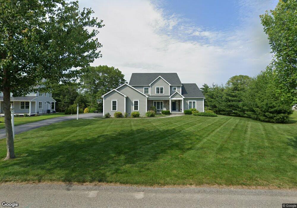
138 Brigade Dr Saunderstown, RI 02874
Saunderstown NeighborhoodEstimated Value: $1,244,349 - $1,436,000
4
Beds
4
Baths
3,260
Sq Ft
$403/Sq Ft
Est. Value
About This Home
This home is located at 138 Brigade Dr, Saunderstown, RI 02874 and is currently estimated at $1,312,587, approximately $402 per square foot. 138 Brigade Dr is a home with nearby schools including Stony Lane Elementary School, Wickford Middle School, and North Kingstown Sr. High School.
Ownership History
Date
Name
Owned For
Owner Type
Purchase Details
Closed on
May 23, 2024
Sold by
Delaney Nancy L
Bought by
Nancy L Delaney Ret and Delaney
Current Estimated Value
Purchase Details
Closed on
Jun 3, 2015
Sold by
Slocum Woods Inc
Bought by
Delaney Mark W and Delaney Nancy L
Create a Home Valuation Report for This Property
The Home Valuation Report is an in-depth analysis detailing your home's value as well as a comparison with similar homes in the area
Home Values in the Area
Average Home Value in this Area
Purchase History
| Date | Buyer | Sale Price | Title Company |
|---|---|---|---|
| Nancy L Delaney Ret | -- | None Available | |
| Nancy L Delaney Ret | -- | None Available | |
| Nancy L Delaney Ret | -- | None Available | |
| Delaney Mark W | $180,000 | -- | |
| Delaney Mark W | $180,000 | -- |
Source: Public Records
Mortgage History
| Date | Status | Borrower | Loan Amount |
|---|---|---|---|
| Previous Owner | Delaney Mark W | $435,000 |
Source: Public Records
Tax History Compared to Growth
Tax History
| Year | Tax Paid | Tax Assessment Tax Assessment Total Assessment is a certain percentage of the fair market value that is determined by local assessors to be the total taxable value of land and additions on the property. | Land | Improvement |
|---|---|---|---|---|
| 2025 | $12,506 | $1,132,800 | $309,600 | $823,200 |
| 2024 | $11,960 | $834,000 | $205,800 | $628,200 |
| 2023 | $11,960 | $834,000 | $205,800 | $628,200 |
| 2022 | $11,726 | $834,000 | $205,800 | $628,200 |
| 2021 | $11,872 | $678,400 | $147,000 | $531,400 |
| 2020 | $11,594 | $678,400 | $147,000 | $531,400 |
| 2019 | $11,594 | $678,400 | $147,000 | $531,400 |
| 2018 | $11,484 | $605,400 | $137,100 | $468,300 |
| 2017 | $11,254 | $605,400 | $137,100 | $468,300 |
| 2016 | $9,274 | $513,500 | $137,100 | $376,400 |
| 2015 | $2,646 | $137,100 | $137,100 | $0 |
| 2014 | $2,593 | $137,100 | $137,100 | $0 |
Source: Public Records
Map
Nearby Homes
- 202 Explorer Dr
- 158 Explorer Dr
- 168 Explorer Dr
- 210 Explorer Dr
- 247 Glen Hill Dr
- 449 Sylvan Ct
- 470 Sylvan Ct
- 150 Delta Dr
- 48 Fieldstone Ln
- 55 Whisper Ln
- 400 Yawgoo Valley Rd
- 155 Beechwood Hill Trail
- 604 Stony Fort Rd
- 0 W Allenton Rd
- 620 Dry Bridge Rd
- 65 Village Hill Ln
- 17 Jamaica Way
- 2180 Tower Hill Rd
- 1081 Mooresfield Rd
- 66 Essex Manor Ln