138 Broad Cove St Somerset, MA 02726
Estimated Value: $842,000 - $1,056,000
4
Beds
5
Baths
2,959
Sq Ft
$315/Sq Ft
Est. Value
About This Home
This home is located at 138 Broad Cove St, Somerset, MA 02726 and is currently estimated at $932,800, approximately $315 per square foot. 138 Broad Cove St is a home located in Bristol County with nearby schools including North Elementary School and Somerset Middle School.
Ownership History
Date
Name
Owned For
Owner Type
Purchase Details
Closed on
Jul 27, 2022
Sold by
Bergeron Michael and Bergeron Cynthia M
Bought by
Cynthia M Bergeron Irt
Current Estimated Value
Purchase Details
Closed on
Nov 4, 1994
Sold by
Grant Kathleen Anne
Bought by
Bergeron Michael and Bergeron Cynthia M
Create a Home Valuation Report for This Property
The Home Valuation Report is an in-depth analysis detailing your home's value as well as a comparison with similar homes in the area
Home Values in the Area
Average Home Value in this Area
Purchase History
| Date | Buyer | Sale Price | Title Company |
|---|---|---|---|
| Cynthia M Bergeron Irt | -- | None Available | |
| Cynthia M Bergeron Irt | -- | None Available | |
| Bergeron Michael | $97,500 | -- | |
| Bergeron Michael | $97,500 | -- |
Source: Public Records
Mortgage History
| Date | Status | Borrower | Loan Amount |
|---|---|---|---|
| Previous Owner | Bergeron Michael | $184,000 |
Source: Public Records
Tax History Compared to Growth
Tax History
| Year | Tax Paid | Tax Assessment Tax Assessment Total Assessment is a certain percentage of the fair market value that is determined by local assessors to be the total taxable value of land and additions on the property. | Land | Improvement |
|---|---|---|---|---|
| 2025 | $13,380 | $1,006,000 | $198,200 | $807,800 |
| 2024 | $12,397 | $969,300 | $198,200 | $771,100 |
| 2023 | $10,967 | $864,900 | $180,500 | $684,400 |
| 2022 | $10,229 | $769,700 | $157,700 | $612,000 |
| 2021 | $10,357 | $705,500 | $143,800 | $561,700 |
| 2020 | $9,934 | $652,700 | $143,800 | $508,900 |
| 2019 | $5,256 | $633,300 | $166,900 | $466,400 |
| 2018 | $9,824 | $600,600 | $166,900 | $433,700 |
| 2017 | $10,008 | $575,200 | $166,900 | $408,300 |
| 2016 | $10,072 | $575,200 | $166,900 | $408,300 |
| 2015 | $10,061 | $579,900 | $195,500 | $384,400 |
| 2014 | $14,000 | $579,700 | $195,500 | $384,200 |
Source: Public Records
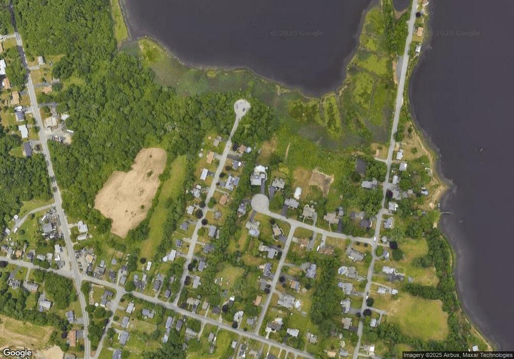
Map
Nearby Homes
- 118 Broad Cove St
- 170 Kenmar Dr
- 150 Kenmar Dr
- 190 Kenmar Dr
- 141 Broad Cove St
- 130 Kenmar Dr
- 98 Broad Cove St
- 133 Broad Cove St
- 110 Kenmar Dr
- 167 Kenmar Dr
- 147 Kenmar Dr
- 115 Broad Cove St
- 187 Kenmar Dr
- 78 Broad Cove St
- 127 Kenmar Dr
- 90 Kenmar Dr
- 95 Carol St
- 107 Kenmar Dr
- 48 Broad Cove St
- 70 Kenmar Dr