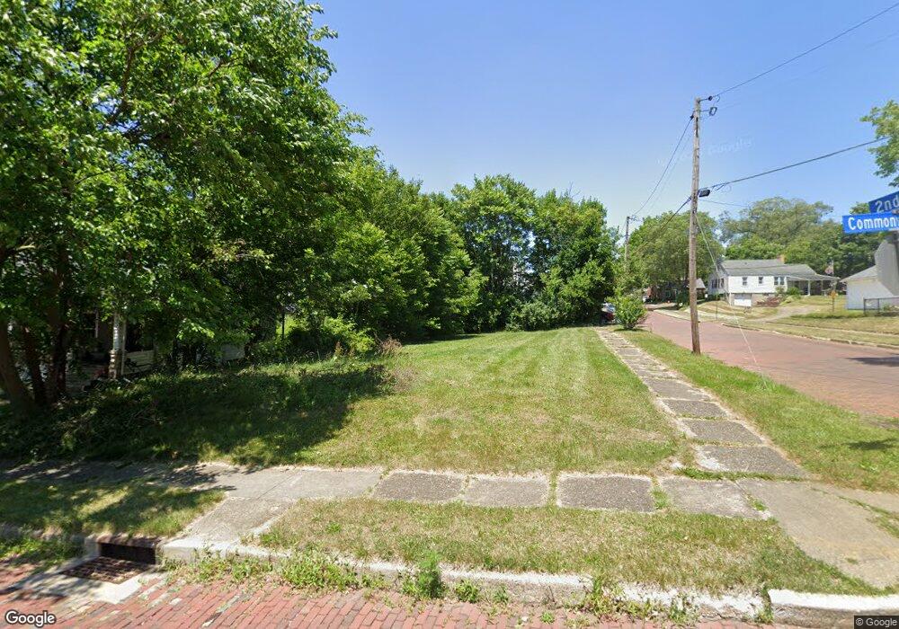
138 Commonwealth Ave NE Massillon, OH 44646
Downtown Massillon NeighborhoodEstimated Value: $156,000 - $241,000
3
Beds
1
Bath
960
Sq Ft
$202/Sq Ft
Est. Value
About This Home
This home is located at 138 Commonwealth Ave NE, Massillon, OH 44646 and is currently estimated at $194,333, approximately $202 per square foot. 138 Commonwealth Ave NE is a home located in Stark County with nearby schools including Massillon Intermediate School, Massillon Junior High School, and Washington High School.
Ownership History
Date
Name
Owned For
Owner Type
Purchase Details
Closed on
Feb 28, 2022
Sold by
Stark County Land Reutilization Corporat
Bought by
Habitat For Humanity East Cent
Current Estimated Value
Purchase Details
Closed on
May 2, 2018
Sold by
Stark County Land Reutilization Corp
Bought by
Stark County Regional Planning Commissio
Purchase Details
Closed on
Nov 29, 2016
Sold by
Heitger George E
Bought by
Stark County Land Reutilization Corp
Purchase Details
Closed on
May 20, 1991
Create a Home Valuation Report for This Property
The Home Valuation Report is an in-depth analysis detailing your home's value as well as a comparison with similar homes in the area
Home Values in the Area
Average Home Value in this Area
Purchase History
| Date | Buyer | Sale Price | Title Company |
|---|---|---|---|
| Habitat For Humanity East Cent | -- | Bergert Jennifer Schandel | |
| Stark County Regional Planning Commissio | -- | None Available | |
| Stark County Land Reutilization Corp | -- | None Available | |
| -- | -- | -- |
Source: Public Records
Tax History
| Year | Tax Paid | Tax Assessment Tax Assessment Total Assessment is a certain percentage of the fair market value that is determined by local assessors to be the total taxable value of land and additions on the property. | Land | Improvement |
|---|---|---|---|---|
| 2025 | -- | $4,690 | $4,690 | -- |
| 2024 | -- | $4,690 | $4,690 | -- |
| 2023 | $247 | $4,660 | $4,660 | $0 |
| 2022 | $1,696 | $3,540 | $3,540 | $0 |
| 2021 | $1,696 | $3,540 | $3,540 | $0 |
| 2019 | $628 | $4,130 | $4,130 | $0 |
Source: Public Records
Map
Nearby Homes
- 315 Korman Ave NE
- 3486 Marys Way Ave NW
- 3465 Marys Way Ave NW
- 3479 Marys Way Ave NW
- 3472 Marys Way Ave NW
- 3431 Marys Way Ave NW
- 1060 Roosevelt St NE
- 739 Vogel Ave NE
- 323 Cherry Rd NE
- 959 9th St NE
- 411 4th St NE
- 0 1st St NE
- 864 10th St NE
- 804 Medill Ave NE
- 217 2nd St NE
- 107 4th St NE
- 104 6th St NE
- 885 Wales Rd NE
- 415 Valeside Ave NE
- 528 Lincoln Way E
- 134 Commonwealth Ave NE
- 204 Commonwealth Ave NE
- 130 Commonwealth Ave NE
- 919 2nd St NE
- 122 Commonwealth Ave NE
- 210 Commonwealth Ave NE
- 923 2nd St NE
- 129 Commonwealth Ave NE
- 201 Commonwealth Ave NE
- 125 Commonwealth Ave NE
- 205 Korman Ave NE
- 927 2nd St NE
- 121 Commonwealth Ave NE
- 214 Commonwealth Ave NE
- 118 Commonwealth Ave NE
- 205 Commonwealth Ave NE
- 120 Commonwealth Ave NE
- 115 Commonwealth Ave NE
- 211 Commonwealth Ave NE
- 211 Korman Ave NE
Your Personal Tour Guide
Ask me questions while you tour the home.