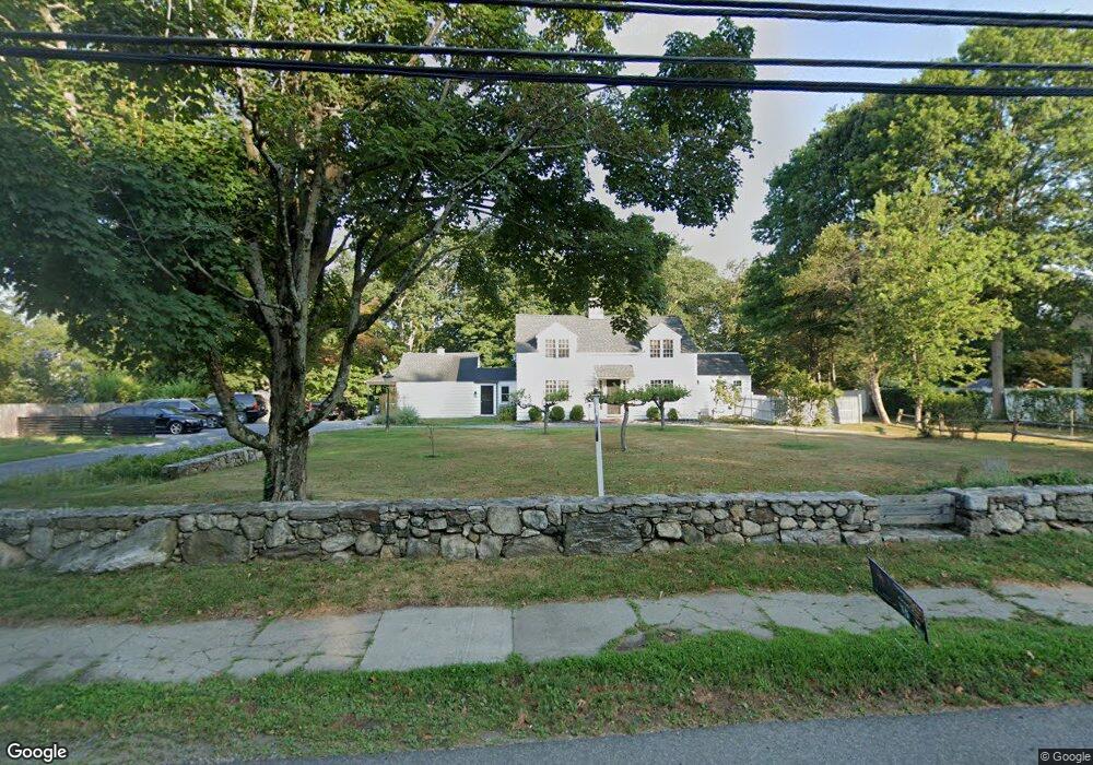
138 Compo Rd S Unit . Westport, CT 06880
Westport Village NeighborhoodEstimated Value: $1,584,000 - $1,962,000
4
Beds
1
Bath
345
Sq Ft
$5,096/Sq Ft
Est. Value
About This Home
This home is located at 138 Compo Rd S Unit ., Westport, CT 06880 and is currently estimated at $1,758,232, approximately $5,096 per square foot. 138 Compo Rd S Unit . is a home located in Fairfield County with nearby schools including Saugatuck Elementary School, Bedford Middle School, and Staples High School.
Ownership History
Date
Name
Owned For
Owner Type
Purchase Details
Closed on
Sep 17, 2007
Sold by
Rosen Beverly
Bought by
Videler John C and Videler Elizabeth A
Current Estimated Value
Home Financials for this Owner
Home Financials are based on the most recent Mortgage that was taken out on this home.
Original Mortgage
$670,000
Interest Rate
6.7%
Create a Home Valuation Report for This Property
The Home Valuation Report is an in-depth analysis detailing your home's value as well as a comparison with similar homes in the area
Home Values in the Area
Average Home Value in this Area
Purchase History
| Date | Buyer | Sale Price | Title Company |
|---|---|---|---|
| Videler John C | $975,000 | -- | |
| Videler John C | $975,000 | -- |
Source: Public Records
Mortgage History
| Date | Status | Borrower | Loan Amount |
|---|---|---|---|
| Open | Videler John C | $660,000 | |
| Closed | Videler John C | $670,000 | |
| Previous Owner | Videler John C | $310,000 |
Source: Public Records
Tax History Compared to Growth
Tax History
| Year | Tax Paid | Tax Assessment Tax Assessment Total Assessment is a certain percentage of the fair market value that is determined by local assessors to be the total taxable value of land and additions on the property. | Land | Improvement |
|---|---|---|---|---|
| 2025 | $10,643 | $564,300 | $371,900 | $192,400 |
| 2024 | $10,507 | $564,300 | $371,900 | $192,400 |
| 2023 | $10,355 | $564,300 | $371,900 | $192,400 |
| 2022 | $10,197 | $564,300 | $371,900 | $192,400 |
| 2021 | $10,197 | $564,300 | $371,900 | $192,400 |
| 2020 | $11,074 | $662,700 | $392,300 | $270,400 |
| 2019 | $21,578 | $662,700 | $392,300 | $270,400 |
| 2018 | $11,869 | $662,700 | $392,300 | $270,400 |
| 2017 | $11,173 | $662,700 | $392,300 | $270,400 |
| 2016 | $11,173 | $662,700 | $392,300 | $270,400 |
| 2015 | $9,794 | $541,400 | $289,200 | $252,200 |
| 2014 | $9,713 | $541,400 | $289,200 | $252,200 |
Source: Public Records
Map
Nearby Homes
- 3 Laurel Ln
- 5 Franklin Ave
- 171 Compo Rd S
- 171 & 169 Compo Rd S
- 102 Compo Rd S
- 23 Bridge St
- 115 Valley Rd
- 29 Guyer Rd
- 21 Wright St
- 26 Treadwell Ave
- 202 Bradley Ln Unit 202
- 109 Greens Farms Rd
- 24 Edgemarth Hill Rd
- 42 Kings Hwy S
- 60 Wilton Rd Unit 2C
- 33 Burnham Hill
- 9 Crescent Park Rd
- 61 Edgewater Commons Ln
- 39 Compo Pkwy
- 123 Greens Farms Rd
- 138 Compo Rd S
- 132 Compo Rd S
- 140 Compo Rd S
- 142 Compo Rd S
- 130 Compo Rd S
- 5 Sandhopper Trail
- 3 Sandhopper Trail
- 7 Sandhopper Trail
- 129 Compo Rd S
- 1 Mansfield Place
- 4 Tranquility Ln
- 21 Gault Ave
- 144 Compo Rd S
- 9 Sandhopper Trail
- 23 Gault Ave
- 19 Gault Ave
- 143 Compo Rd S
- 10 Sandhopper Trail
- 17 Gault Ave
- 1 Sandhopper Trail