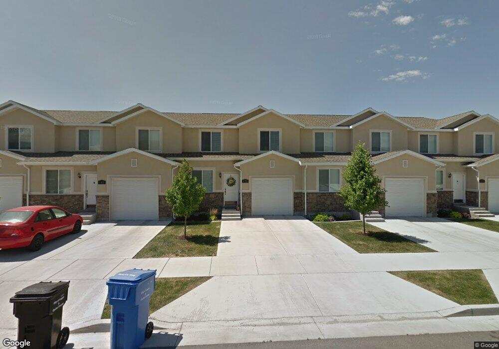
138 E 620 S Smithfield, UT 84335
Estimated Value: $330,000 - $356,000
3
Beds
3
Baths
1,946
Sq Ft
$177/Sq Ft
Est. Value
About This Home
This home is located at 138 E 620 S, Smithfield, UT 84335 and is currently estimated at $344,186, approximately $176 per square foot. 138 E 620 S is a home located in Cache County with nearby schools including Summit School, Cedar Ridge School, and North Cache Middle School.
Ownership History
Date
Name
Owned For
Owner Type
Purchase Details
Closed on
Dec 27, 2019
Sold by
Lundberg Roxanne
Bought by
Heath Edward Manly
Current Estimated Value
Home Financials for this Owner
Home Financials are based on the most recent Mortgage that was taken out on this home.
Original Mortgage
$157,500
Outstanding Balance
$138,834
Interest Rate
3.7%
Mortgage Type
New Conventional
Estimated Equity
$205,352
Purchase Details
Closed on
Aug 10, 2015
Sold by
Jardine Cassandra
Bought by
Lundberg Roxanne
Purchase Details
Closed on
Oct 28, 2010
Sold by
North Ridge Development Llc
Bought by
Jardine Cassandra
Home Financials for this Owner
Home Financials are based on the most recent Mortgage that was taken out on this home.
Original Mortgage
$124,900
Interest Rate
3.12%
Mortgage Type
New Conventional
Create a Home Valuation Report for This Property
The Home Valuation Report is an in-depth analysis detailing your home's value as well as a comparison with similar homes in the area
Home Values in the Area
Average Home Value in this Area
Purchase History
| Date | Buyer | Sale Price | Title Company |
|---|---|---|---|
| Heath Edward Manly | -- | Advanced Title | |
| Lundberg Roxanne | -- | Cache Title Logan | |
| Jardine Cassandra | -- | Hickman Land Title Company |
Source: Public Records
Mortgage History
| Date | Status | Borrower | Loan Amount |
|---|---|---|---|
| Open | Heath Edward Manly | $157,500 | |
| Previous Owner | Jardine Cassandra | $124,900 |
Source: Public Records
Tax History
| Year | Tax Paid | Tax Assessment Tax Assessment Total Assessment is a certain percentage of the fair market value that is determined by local assessors to be the total taxable value of land and additions on the property. | Land | Improvement |
|---|---|---|---|---|
| 2025 | $1,363 | $182,485 | $0 | $0 |
| 2024 | $1,597 | $200,610 | $0 | $0 |
| 2023 | $1,635 | $194,150 | $0 | $0 |
| 2022 | $1,662 | $194,150 | $0 | $0 |
| 2021 | $1,341 | $239,463 | $60,000 | $179,463 |
| 2020 | $1,297 | $216,055 | $60,000 | $156,055 |
| 2019 | $1,140 | $181,055 | $25,000 | $156,055 |
| 2018 | $1,070 | $164,335 | $25,000 | $139,335 |
| 2017 | $1,034 | $86,735 | $0 | $0 |
| 2016 | $1,052 | $83,380 | $0 | $0 |
| 2015 | $893 | $73,315 | $0 | $0 |
| 2014 | $876 | $73,315 | $0 | $0 |
| 2013 | -- | $73,315 | $0 | $0 |
Source: Public Records
Map
Nearby Homes
Your Personal Tour Guide
Ask me questions while you tour the home.