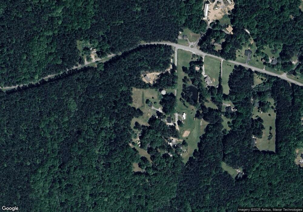
138 Family Path Dallas, GA 30157
Estimated Value: $312,405 - $370,000
3
Beds
2
Baths
1,255
Sq Ft
$265/Sq Ft
Est. Value
About This Home
This home is located at 138 Family Path, Dallas, GA 30157 and is currently estimated at $332,802, approximately $265 per square foot. 138 Family Path is a home located in Paulding County with nearby schools including Union Elementary School, Carl Scoggins Sr. Middle School, and South Paulding High School.
Ownership History
Date
Name
Owned For
Owner Type
Purchase Details
Closed on
Aug 19, 2024
Sold by
Devore Lawrence H
Bought by
Altom Lacy and Devore Kyle
Current Estimated Value
Purchase Details
Closed on
Oct 26, 2007
Sold by
Devore L H and Devore Charlotte A
Bought by
Devore Lawrence H and Devore Charlotte A
Home Financials for this Owner
Home Financials are based on the most recent Mortgage that was taken out on this home.
Original Mortgage
$110,000
Interest Rate
6.27%
Mortgage Type
New Conventional
Create a Home Valuation Report for This Property
The Home Valuation Report is an in-depth analysis detailing your home's value as well as a comparison with similar homes in the area
Home Values in the Area
Average Home Value in this Area
Purchase History
| Date | Buyer | Sale Price | Title Company |
|---|---|---|---|
| Altom Lacy | -- | -- | |
| Devore Lawrence H | -- | -- |
Source: Public Records
Mortgage History
| Date | Status | Borrower | Loan Amount |
|---|---|---|---|
| Previous Owner | Devore Lawrence H | $110,000 |
Source: Public Records
Tax History Compared to Growth
Tax History
| Year | Tax Paid | Tax Assessment Tax Assessment Total Assessment is a certain percentage of the fair market value that is determined by local assessors to be the total taxable value of land and additions on the property. | Land | Improvement |
|---|---|---|---|---|
| 2024 | $782 | $117,224 | $23,720 | $93,504 |
| 2023 | $888 | $112,700 | $22,560 | $90,140 |
| 2022 | $1,600 | $100,148 | $21,760 | $78,388 |
| 2021 | $1,447 | $80,360 | $15,600 | $64,760 |
| 2020 | $1,418 | $76,528 | $13,360 | $63,168 |
| 2019 | $1,269 | $67,852 | $11,560 | $56,292 |
| 2018 | $1,847 | $63,164 | $13,840 | $49,324 |
| 2017 | $1,775 | $59,980 | $13,840 | $46,140 |
| 2016 | $1,451 | $49,840 | $14,720 | $35,120 |
| 2015 | $1,372 | $46,418 | $14,280 | $32,138 |
| 2014 | $1,252 | $41,514 | $12,160 | $29,354 |
| 2013 | -- | $36,120 | $13,520 | $22,600 |
Source: Public Records
Map
Nearby Homes
- 3902 Mulberry Rock Rd
- 33 New Kent Ct
- 36 Champions Crossing
- 197 Stafford Ln
- 33 Champions Crossing
- The Dalton Plan at Heritage Pointe at The Georgian
- The Monroe Plan at Heritage Pointe at The Georgian
- The Augusta Plan at Heritage Pointe at The Georgian
- The Willingham Plan at Heritage Pointe at The Georgian
- The Braselton Plan at Heritage Pointe at The Georgian
- The Chamblee Plan at Heritage Pointe at The Georgian
- The Rabun Plan at Heritage Pointe at The Georgian
- 98 Heritage Pointe Dr
- 81 Dr
- 81 Heritage Pointe Dr
- 198 Colbury St
- 49 Masters Dr
- 157 Colbury St
- 48 Masters Dr
- 70 Cotton Tail Ln
- 235 Family Path
- 4654 Mulberry Rock Rd
- 4676 Mulberry Rock Rd
- 4595 Mulberry Rock Rd
- 4411 Mulberry Rock Rd
- 4651 Mulberry Rock Rd
- 4744 Mulberry Rock Rd
- 4725 Mulberry Rock Rd
- 4619 Mulberry Rock Rd
- 4615 Mulberry Rock Rd
- 4613 Mulberry Rock Rd
- 4763 Mulberry Rock Rd
- 0 Rock Crusher Rd Unit 3152026
- 39 Rock Crusher Rd
- 7 Roberts Path
- 4898 Mulberry Rock Rd
- 125 Roberts Path
- 173 Rock Crusher Rd
- 5037 Mulberry Rock Rd
- 4960 Mulberry Rock Rd
