138 Fireside Ln Holden, MA 01520
Estimated Value: $637,000 - $707,000
2
Beds
3
Baths
2,577
Sq Ft
$255/Sq Ft
Est. Value
About This Home
This home is located at 138 Fireside Ln, Holden, MA 01520 and is currently estimated at $657,223, approximately $255 per square foot. 138 Fireside Ln is a home located in Worcester County with nearby schools including Wachusett Regional High School, Bancroft School, and Holden Christian Academy.
Ownership History
Date
Name
Owned For
Owner Type
Purchase Details
Closed on
Jul 29, 2016
Sold by
George Stevens
Bought by
Currie Michelle B
Current Estimated Value
Home Financials for this Owner
Home Financials are based on the most recent Mortgage that was taken out on this home.
Original Mortgage
$296,000
Outstanding Balance
$236,174
Interest Rate
3.48%
Estimated Equity
$421,049
Purchase Details
Closed on
Apr 27, 2006
Sold by
Seasons Dev Corp
Bought by
Stevens George and Stevens Marilyn A
Home Financials for this Owner
Home Financials are based on the most recent Mortgage that was taken out on this home.
Original Mortgage
$50,000
Interest Rate
6.4%
Mortgage Type
Purchase Money Mortgage
Create a Home Valuation Report for This Property
The Home Valuation Report is an in-depth analysis detailing your home's value as well as a comparison with similar homes in the area
Home Values in the Area
Average Home Value in this Area
Purchase History
| Date | Buyer | Sale Price | Title Company |
|---|---|---|---|
| Currie Michelle B | -- | -- | |
| Stevens George | $402,411 | -- |
Source: Public Records
Mortgage History
| Date | Status | Borrower | Loan Amount |
|---|---|---|---|
| Open | Currie Michelle B | $296,000 | |
| Closed | Currie Michelle B | -- | |
| Previous Owner | Stevens George | $50,000 |
Source: Public Records
Tax History
| Year | Tax Paid | Tax Assessment Tax Assessment Total Assessment is a certain percentage of the fair market value that is determined by local assessors to be the total taxable value of land and additions on the property. | Land | Improvement |
|---|---|---|---|---|
| 2025 | $7,954 | $573,900 | $0 | $573,900 |
| 2024 | $7,904 | $558,600 | $0 | $558,600 |
| 2023 | $7,008 | $467,500 | $0 | $467,500 |
| 2022 | $6,743 | $407,200 | $0 | $407,200 |
| 2021 | $6,960 | $400,000 | $0 | $400,000 |
| 2020 | $7,062 | $415,400 | $0 | $415,400 |
| 2019 | $7,003 | $401,300 | $0 | $401,300 |
| 2018 | $6,806 | $386,500 | $0 | $386,500 |
| 2017 | $6,394 | $363,500 | $0 | $363,500 |
| 2016 | $6,134 | $355,600 | $0 | $355,600 |
| 2015 | $6,166 | $340,300 | $0 | $340,300 |
| 2014 | $6,040 | $340,300 | $0 | $340,300 |
Source: Public Records
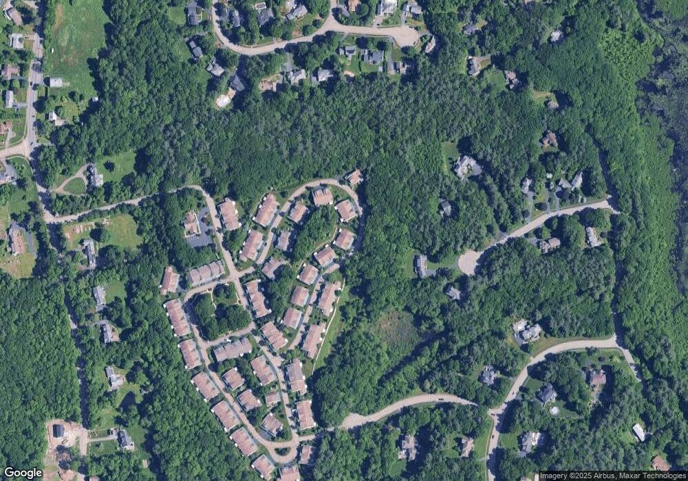
Map
Nearby Homes
- 47 Harvest Cir
- 527 Salisbury St
- 168 Twinbrooke Dr
- 23 Gail Dr
- 131 Twinbrooke Dr
- 289 Bailey Rd
- 0 Chapin Rd
- 8 (Lot 1) Holmes Dr
- 288 Fisher Rd
- 250 Shrewsbury St
- 42 N Worcester Ave
- 158 Chester St
- 216 Reservoir St Unit 107
- 216 Reservoir St Unit 208
- 216 Reservoir St Unit 202
- 218 Reservoir St Unit 326
- 4004 Brompton Cir
- 90 Bjorklund Ave
- 120 Brattle St
- 270 Brattle St
- 140 Fireside Ln
- 138 Fireside Ln Unit 138
- 144 Fireside Ln
- 146 Fireside Ln
- 132 Fireside Ln
- 134 Fireside Ln
- 126 Fireside Ln
- 128 Fireside Ln
- 148 Fireside Ln
- 150 Fireside Ln
- 150 Fireside Ln Unit 70
- 150 Fireside Ln Unit 150
- 120 Fireside Ln
- 122 Fireside Ln
- 110 Fireside Ln
- 112 Fireside Ln
- 147 Fireside Ln
- 149 Fireside Ln
- 151 Fireside Ln
- 151 Fireside Ln Unit 56
Your Personal Tour Guide
Ask me questions while you tour the home.