138 Gordon Ln Clayton, GA 30525
Estimated Value: $116,518 - $239,000
2
Beds
1
Bath
720
Sq Ft
$253/Sq Ft
Est. Value
About This Home
This home is located at 138 Gordon Ln, Clayton, GA 30525 and is currently estimated at $181,880, approximately $252 per square foot. 138 Gordon Ln is a home located in Rabun County with nearby schools including Rabun County Primary School and Rabun County High School.
Ownership History
Date
Name
Owned For
Owner Type
Purchase Details
Closed on
Jul 23, 2010
Sold by
Gordon Joe
Bought by
Gordon Lex Wayne Richard
Current Estimated Value
Purchase Details
Closed on
Jun 18, 2010
Sold by
Gordon Joe
Bought by
Gordon Curtis L
Purchase Details
Closed on
Aug 1, 1964
Bought by
Gordon Joe Mrs
Create a Home Valuation Report for This Property
The Home Valuation Report is an in-depth analysis detailing your home's value as well as a comparison with similar homes in the area
Home Values in the Area
Average Home Value in this Area
Purchase History
| Date | Buyer | Sale Price | Title Company |
|---|---|---|---|
| Gordon Lex Wayne Richard | -- | -- | |
| Gordon Virginia I | -- | -- | |
| Findley Anna L | -- | -- | |
| Gordon Lex Wayne Richard | -- | -- | |
| Gordon Virginia I | -- | -- | |
| Findley Anna L | -- | -- | |
| Gordon Lex Wayne Richard | -- | -- | |
| Gordon Virginia I | -- | -- | |
| Findley Anna L | -- | -- | |
| Gordon Curtis L | -- | -- | |
| Gordon Curtis L | -- | -- | |
| Gordon Curtis L | -- | -- | |
| Gordon Joe Mrs | -- | -- | |
| Gordon Joe Mrs | -- | -- |
Source: Public Records
Tax History Compared to Growth
Tax History
| Year | Tax Paid | Tax Assessment Tax Assessment Total Assessment is a certain percentage of the fair market value that is determined by local assessors to be the total taxable value of land and additions on the property. | Land | Improvement |
|---|---|---|---|---|
| 2024 | $455 | $28,325 | $11,633 | $16,692 |
| 2023 | $472 | $25,771 | $10,949 | $14,822 |
| 2022 | $40 | $14,776 | $9,580 | $5,196 |
| 2021 | $37 | $14,092 | $8,896 | $5,196 |
| 2020 | $38 | $14,092 | $8,896 | $5,196 |
| 2019 | $39 | $14,092 | $8,896 | $5,196 |
| 2018 | $39 | $14,092 | $8,896 | $5,196 |
| 2017 | $40 | $14,092 | $8,896 | $5,196 |
| 2016 | $40 | $14,092 | $8,896 | $5,196 |
| 2015 | $41 | $14,092 | $8,896 | $5,196 |
| 2014 | $41 | $14,092 | $8,896 | $5,196 |
Source: Public Records
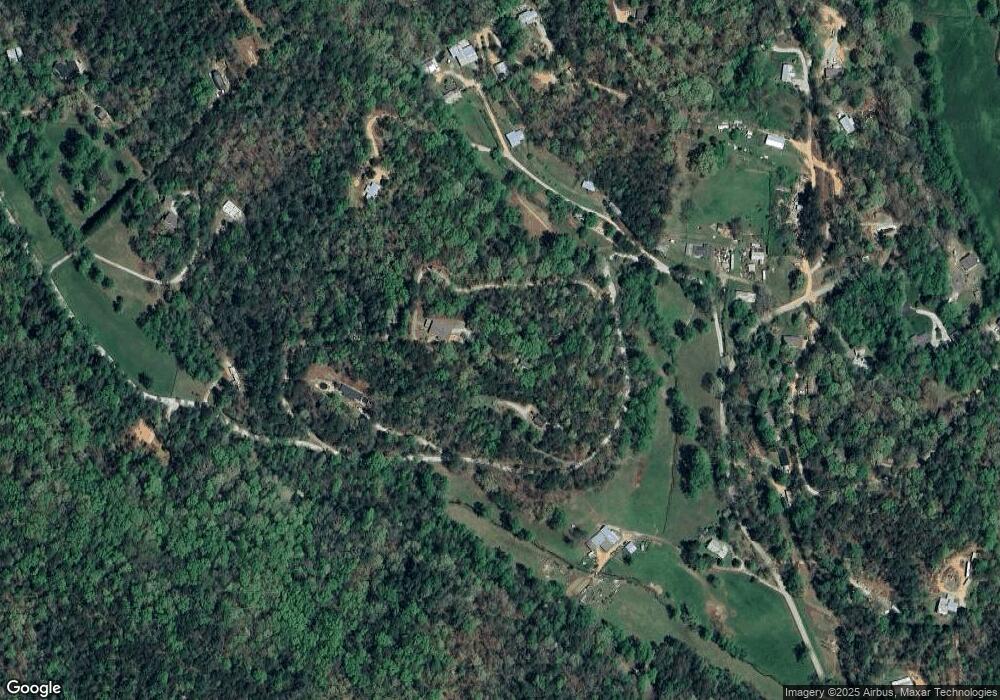
Map
Nearby Homes
- 31 Creekside Ln
- 753 Watkins Field Rd
- 420 Hidden Acres Ln
- 62 Crooked Branch Dr
- 0 Brown Hawk Unit 10495084
- 0 Brown Hawk Unit 7555224
- 362 Kingwood Dr
- 10 Quiet Place Ln
- 0 Cedar Ridge Unit 10402269
- 0 Kingwood Dr Unit 10607215
- 0 Kingwood Dr Unit LOT 104CC 10359599
- 0 Timber Creek Dr Unit 10616920
- 0 Timber Bluff Dr Unit 10464905
- 112 Gleneagle Ct Unit D202
- 112 Gleneagle Ct Unit D 203
- 94 Glen Eagle Ct
- 94 Gleneagle Ct Unit C202
- 251 Shakespeare Dr Unit 324
- 239 Shakespeare Dr Unit 317
- 251 Shakespeare Dr Unit 321
- 170 Gordon Ln
- 168 Gordon Ln
- 418 Bear Foot Trail
- 0 Concord Ln Unit 412970
- 0 Concord Ln Unit 10381737
- 0 Concord Ln Unit 7212228
- 89 Louisiana Cir
- 341 Bear Foot Trail
- 195 Louisiana Cir
- 264 Watkins Field Rd
- 761 Rainey Mountain Rd
- 144 Mcvicker Dr
- 406 Bear Foot Trail
- 7B Bear Foot Trail
- 131 Lickety Split Ln
- 346 Watkins Field Rd
- 84 Creekside Ln
- 0 Bear Foot Trail Unit 4 7557366
- 0 Bear Foot Trail Unit 3 7557340
- 0 Bear Foot Trail Unit 4 7138770