138 Husted Ln Newport, NJ 08345
Estimated Value: $208,000 - $463,183
3
Beds
4
Baths
2,928
Sq Ft
$123/Sq Ft
Est. Value
About This Home
This home is located at 138 Husted Ln, Newport, NJ 08345 and is currently estimated at $360,796, approximately $123 per square foot. 138 Husted Ln is a home located in Cumberland County with nearby schools including Downe Township Elementary School.
Ownership History
Date
Name
Owned For
Owner Type
Purchase Details
Closed on
Jul 10, 2015
Sold by
Gilmour Anne
Bought by
Gilmour Anne and Campbell Robert G
Current Estimated Value
Purchase Details
Closed on
Nov 9, 2010
Sold by
Gilmour Anne
Bought by
Gilmour Anne
Purchase Details
Closed on
Apr 26, 2000
Sold by
Pappas Frank A
Bought by
Nhr Inc
Purchase Details
Closed on
Sep 20, 1996
Sold by
Pappas Donald J and Pappas Francis A
Bought by
Pappas Donald J and Pappas Francis A
Purchase Details
Closed on
Mar 7, 1994
Sold by
Pappas Donald J
Bought by
Pappas Donald J and Pappas Francis A
Create a Home Valuation Report for This Property
The Home Valuation Report is an in-depth analysis detailing your home's value as well as a comparison with similar homes in the area
Home Values in the Area
Average Home Value in this Area
Purchase History
| Date | Buyer | Sale Price | Title Company |
|---|---|---|---|
| Gilmour Anne | -- | None Available | |
| Gilmour Anne | -- | -- | |
| Gilmour Anne | -- | -- | |
| Nhr Inc | $65,000 | -- | |
| Pappas Donald J | -- | -- | |
| Pappas Donald J | -- | -- |
Source: Public Records
Tax History Compared to Growth
Tax History
| Year | Tax Paid | Tax Assessment Tax Assessment Total Assessment is a certain percentage of the fair market value that is determined by local assessors to be the total taxable value of land and additions on the property. | Land | Improvement |
|---|---|---|---|---|
| 2025 | $8,289 | $287,400 | $73,700 | $213,700 |
| 2024 | $8,289 | $287,400 | $73,700 | $213,700 |
| 2023 | $7,559 | $287,400 | $73,700 | $213,700 |
| 2022 | $7,369 | $287,400 | $73,700 | $213,700 |
| 2021 | $7,015 | $287,400 | $73,700 | $213,700 |
| 2020 | $6,912 | $287,400 | $73,700 | $213,700 |
| 2019 | $6,797 | $287,400 | $73,700 | $213,700 |
| 2018 | $6,886 | $287,400 | $73,700 | $213,700 |
| 2017 | $6,613 | $287,400 | $73,700 | $213,700 |
| 2016 | $6,607 | $287,400 | $73,700 | $213,700 |
| 2015 | $6,196 | $287,400 | $73,700 | $213,700 |
| 2014 | $5,739 | $287,400 | $73,700 | $213,700 |
Source: Public Records
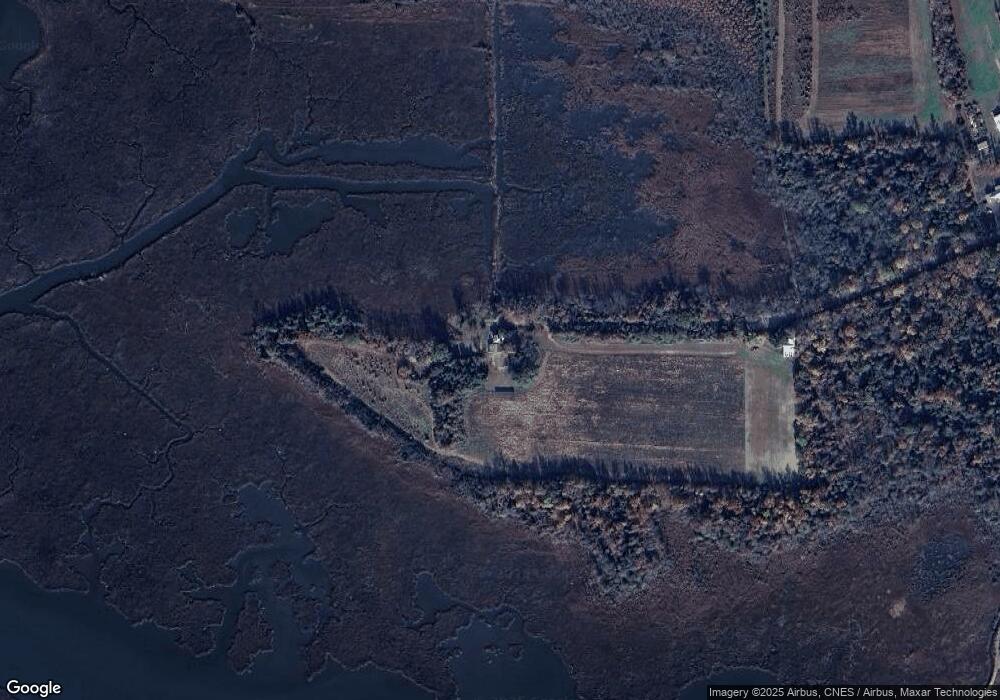
Map
Nearby Homes
- 184 Landing Rd
- 91 Landis Ave
- 281 Fortescue Rd
- 13 Hall St
- 303 Baptist Rd
- 0 Relm Ave Unit NJCB2022890
- 0 Keln Ave Unit NJCB2022904
- 167 Cove Rd
- 554 Old Beaver Dam Rd
- 12 Lores Ln
- 442 Shaws Mill Rd
- 94 Delaware Ave
- 102 Garrison Ave
- 873 875 Downe Ave
- 116 Delaware Ave
- 114 Delaware Ave
- 7 Princeton Ave
- 18 Vassar Ave
- 21 Vassar Ave
- 860 Downe Ave
- 104 Husted Station Rd
- 65 Husted Ln
- 19 Husted Ln
- 548 Newport Neck Rd
- 9 Husted Ln
- 150 Fortescue Rd
- 534 Newport Neck Rd
- 180 Fortescue Rd
- 167 Newport Neck Rd
- 186 Fortescue Rd
- 248 Newport Neck Rd
- 177 Fortescue Rd
- 264 Newport Neck Rd
- 138 Fortescue Rd
- 280 Newport Neck Rd
- 142 Fortescue Rd
- 187 Fortescue Rd
- 128 Fortescue Rd
- 575 Newport Neck Rd
- 310 Newport Neck Rd