138 Joe Pittman Dr Blue Ridge, GA 30513
Estimated Value: $360,000 - $741,000
--
Bed
1
Bath
802
Sq Ft
$659/Sq Ft
Est. Value
About This Home
This home is located at 138 Joe Pittman Dr, Blue Ridge, GA 30513 and is currently estimated at $528,346, approximately $658 per square foot. 138 Joe Pittman Dr is a home with nearby schools including Fannin County High School.
Ownership History
Date
Name
Owned For
Owner Type
Purchase Details
Closed on
May 15, 2025
Sold by
Coffield Deanna L
Bought by
Coffield Family Revocable Trust and Coffield Deanna Loudermilk
Current Estimated Value
Purchase Details
Closed on
Apr 11, 2024
Sold by
Vance Tamela L
Bought by
Vance Christopher W Tr and Vance Tamela L Tr
Purchase Details
Closed on
Nov 1, 2011
Sold by
Loudermilk George D
Bought by
Coffield Deanna L and Vance Tamela L
Purchase Details
Closed on
Aug 24, 1985
Bought by
Loudermilk George
Create a Home Valuation Report for This Property
The Home Valuation Report is an in-depth analysis detailing your home's value as well as a comparison with similar homes in the area
Home Values in the Area
Average Home Value in this Area
Purchase History
| Date | Buyer | Sale Price | Title Company |
|---|---|---|---|
| Coffield Family Revocable Trust | -- | -- | |
| Vance Christopher W Tr | -- | -- | |
| Coffield Deanna L | -- | -- | |
| Loudermilk George | $25,700 | -- |
Source: Public Records
Tax History Compared to Growth
Tax History
| Year | Tax Paid | Tax Assessment Tax Assessment Total Assessment is a certain percentage of the fair market value that is determined by local assessors to be the total taxable value of land and additions on the property. | Land | Improvement |
|---|---|---|---|---|
| 2024 | $1,473 | $160,770 | $97,000 | $63,770 |
| 2023 | $1,632 | $160,100 | $97,000 | $63,100 |
| 2022 | $1,647 | $161,543 | $97,000 | $64,543 |
| 2021 | $1,408 | $100,444 | $76,080 | $24,364 |
| 2020 | $1,332 | $93,444 | $69,080 | $24,364 |
| 2019 | $732 | $77,004 | $52,640 | $24,364 |
| 2018 | $776 | $77,004 | $52,640 | $24,364 |
| 2017 | $1,363 | $77,004 | $52,640 | $24,364 |
| 2016 | $713 | $99,054 | $80,000 | $19,054 |
| 2015 | $693 | $67,427 | $49,680 | $17,747 |
| 2014 | $693 | $69,513 | $49,680 | $19,833 |
| 2013 | -- | $65,950 | $49,680 | $16,270 |
Source: Public Records
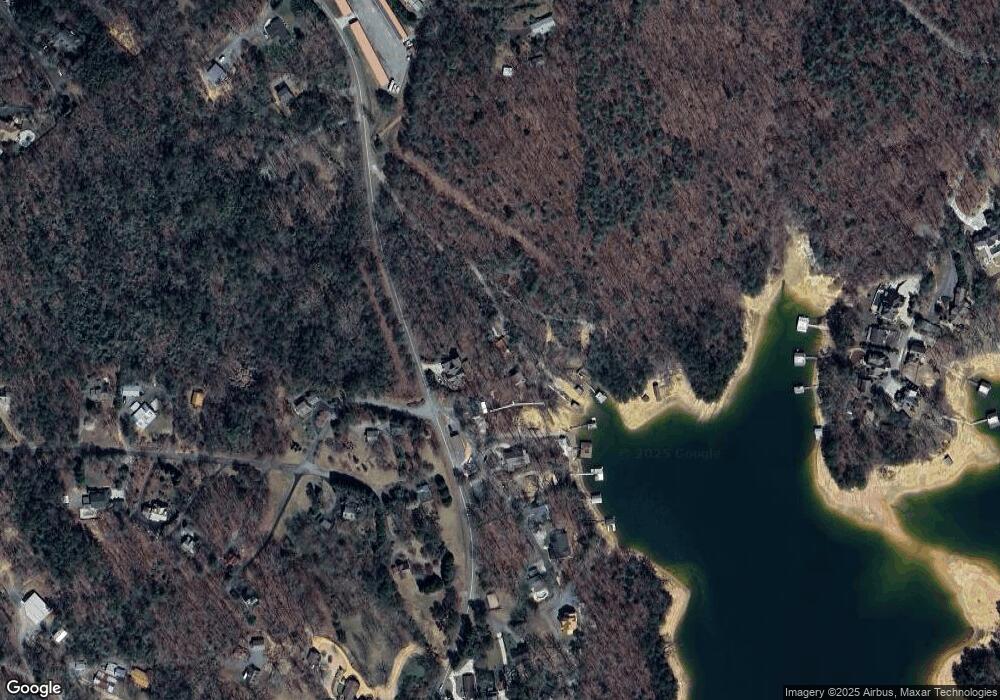
Map
Nearby Homes
- 60 Lake Ridge Dr
- LOT 15 Tanglewood Cove Unit 15
- LOT 15 Tanglewood Cove
- 5 Tanglewood Cove
- 92 Wilderness Trail
- 45 Wilderness Trail
- 329 Carlie Trail
- 407 Tanglewood Dr
- 113 Deer Hunter Trail
- 474 Stewart Camp Point
- 230 Tanglewood Dr Unit 5B6B14B3B
- 230 Tanglewood Dr
- 266 Bluebird Ln
- 66 Rome Point
- 133 Yellowbird Trail Unit 34
- 133 Yellowbird Trail
- Lot #15 Rome Point
- 2 Aska Rd
- 444 Yellowbird Trail
- 16 Hollow Springs Rd
- 148 Joe Pittman Dr
- 0 Mountain Side Dr
- 39 Mountain Side Dr
- 39 Mountain Unit Dr
- 39 Mountain Unit Drive
- 0 Mountain St Unit 143957
- 0 Mountain St Unit 329456
- 0 Mountain St Unit 7563172
- 0 Mountain St Unit 7126002
- 0 Mountain St Unit 3134867
- 0 Mountain St Unit 8200983
- 56 Mountainside Dr
- 0 Joe Pittman Dr Unit 290243
- 148 Joe Pitman Rd
- 0 Joe Pittman Dr Unit 8625835
- 0 Joe Pittman Dr
- 47 Lake Ridge Ct
- 71 Pine Point Dr
- 59 Lake Ridge Ct
- 72 Lake Ridge Ct