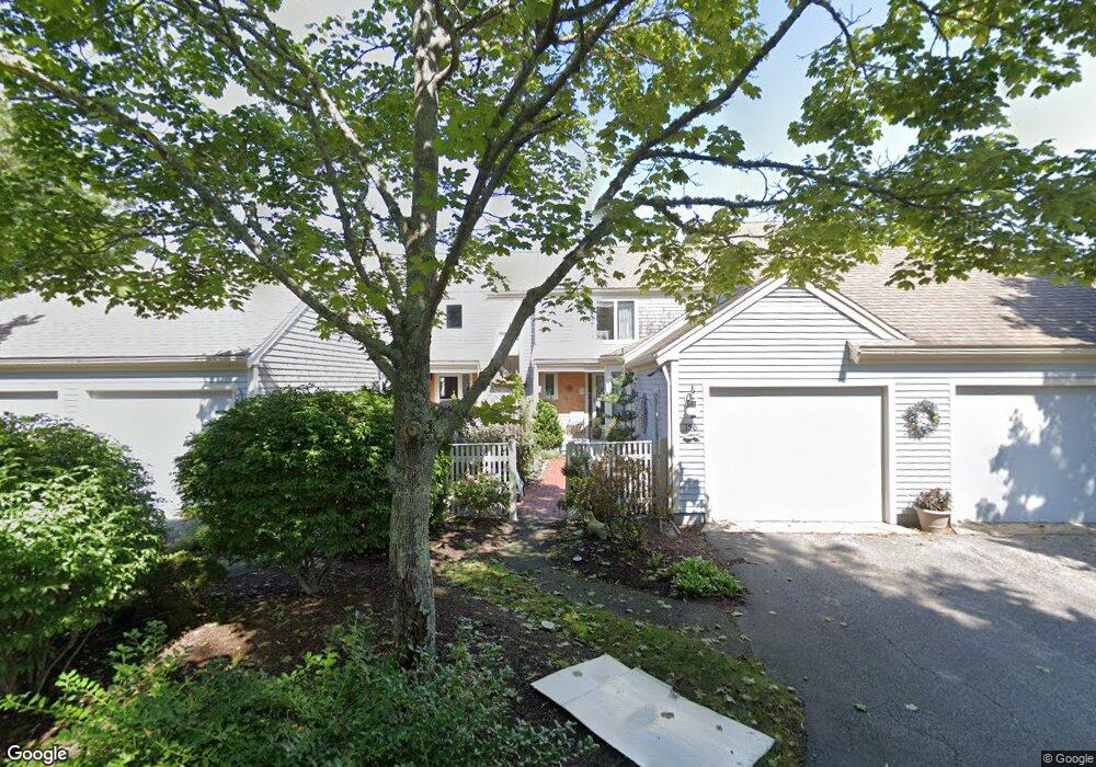
138 Kates Path Yarmouth Port, MA 02675
Yarmouth Port NeighborhoodEstimated Value: $649,000 - $782,000
2
Beds
3
Baths
1,829
Sq Ft
$381/Sq Ft
Est. Value
About This Home
This home is located at 138 Kates Path, Yarmouth Port, MA 02675 and is currently estimated at $696,195, approximately $380 per square foot. 138 Kates Path is a home located in Barnstable County with nearby schools including Dennis-Yarmouth Regional High School.
Ownership History
Date
Name
Owned For
Owner Type
Purchase Details
Closed on
Jan 18, 2006
Sold by
Scanlan Joanne J
Bought by
Scanlan-Kates Path Rt
Current Estimated Value
Purchase Details
Closed on
Feb 11, 1999
Sold by
Kramer Steven E and Kramer Rosanne
Bought by
Scanlan Joanne J
Home Financials for this Owner
Home Financials are based on the most recent Mortgage that was taken out on this home.
Original Mortgage
$202,000
Interest Rate
6.78%
Mortgage Type
Purchase Money Mortgage
Create a Home Valuation Report for This Property
The Home Valuation Report is an in-depth analysis detailing your home's value as well as a comparison with similar homes in the area
Home Values in the Area
Average Home Value in this Area
Purchase History
| Date | Buyer | Sale Price | Title Company |
|---|---|---|---|
| Scanlan-Kates Path Rt | -- | -- | |
| Scanlan Joanne J | $252,500 | -- |
Source: Public Records
Mortgage History
| Date | Status | Borrower | Loan Amount |
|---|---|---|---|
| Previous Owner | Scanlan Joanne J | $202,000 |
Source: Public Records
Tax History Compared to Growth
Tax History
| Year | Tax Paid | Tax Assessment Tax Assessment Total Assessment is a certain percentage of the fair market value that is determined by local assessors to be the total taxable value of land and additions on the property. | Land | Improvement |
|---|---|---|---|---|
| 2025 | $4,356 | $615,300 | $0 | $615,300 |
| 2024 | $4,045 | $548,100 | $0 | $548,100 |
| 2023 | $3,934 | $485,100 | $0 | $485,100 |
| 2022 | $4,493 | $489,400 | $0 | $489,400 |
| 2021 | $4,369 | $457,000 | $0 | $457,000 |
| 2020 | $4,408 | $440,800 | $0 | $440,800 |
| 2019 | $4,131 | $409,000 | $0 | $409,000 |
| 2018 | $3,881 | $377,200 | $0 | $377,200 |
| 2017 | $3,620 | $361,300 | $0 | $361,300 |
| 2016 | $3,447 | $345,400 | $0 | $345,400 |
| 2015 | $3,543 | $352,900 | $0 | $352,900 |
Source: Public Records
Map
Nearby Homes
- 228 Kates Path
- 17 Kates Path Unit A
- 64 Kates Path
- 158 Kates Path
- 19 John Halls Cartpath Village Unit E
- 19 John Hall Cartway Unit E
- 50 John Hall Cartway
- 50 John Hall Cartway Unit 50
- 42 John Hall Cartway Unit 42
- 43 Canterbury Rd
- 28 Oak Glen
- 17 Nottingham Dr
- 44 Stratford Ln
- 25 Oak Glen Village Unit 25
- 25 Oak Glen
- 30 W Woods
- 30 W Woods Cir Unit 30
- 2 Pine Grove
- 800 Route 6a
- 800 Route 6a
- 136 Kates Path Unit C
- 246 Kates Path
- 244 Kates Path
- 234 Kates Path
- 232 Kates Path
- 230 Kates Path
- 224 Kates Path
- 222 Kates Path
- 220 Kates Path
- 218 Kates Path
- 214 Kates Path
- 212 Kates Path
- 136 Kates Path
- 134 Kates Path
- 132 Kates Path
- 130 Kates Path
- 77 Kates Path
- 75 Kates Path
- 73 Kates Path
- 71 Kates Path