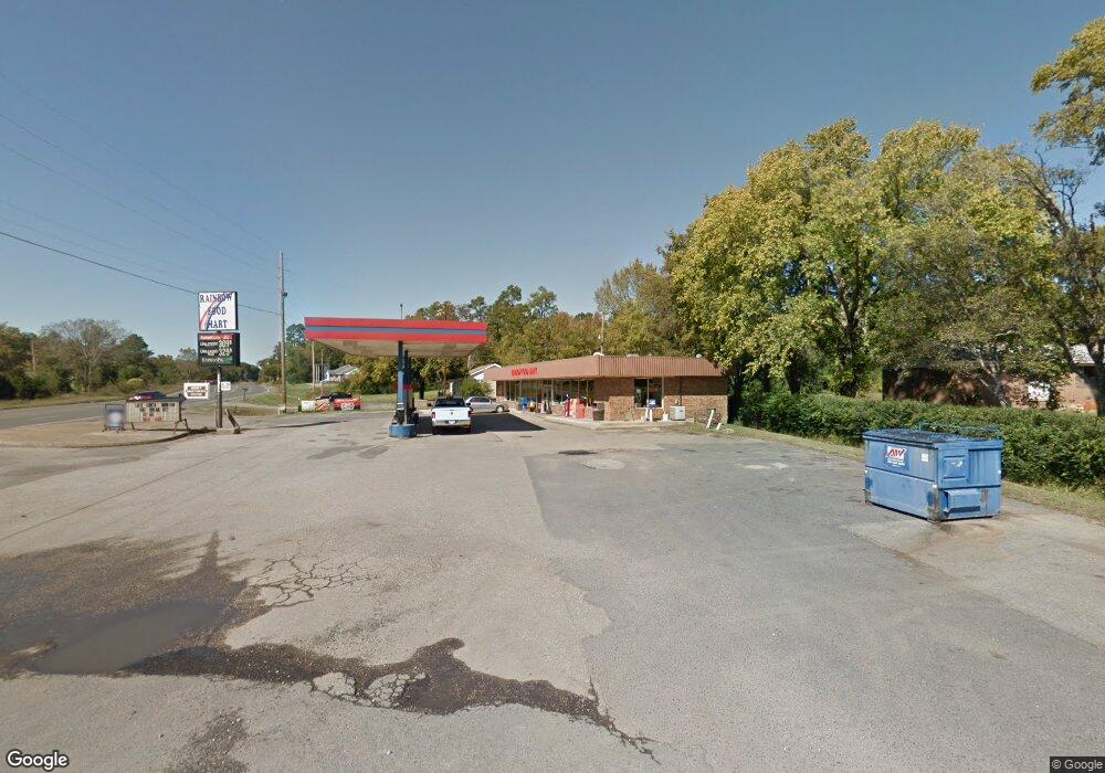
138 Morningstar Dr Malvern, AR 72104
Estimated Value: $192,000 - $285,000
--
Bed
2
Baths
1,434
Sq Ft
$165/Sq Ft
Est. Value
About This Home
This home is located at 138 Morningstar Dr, Malvern, AR 72104 and is currently estimated at $236,115, approximately $164 per square foot. 138 Morningstar Dr is a home located in Hot Spring County with nearby schools including Malvern Elementary School, Wilson Intermediate School, and Malvern Junior High School.
Ownership History
Date
Name
Owned For
Owner Type
Purchase Details
Closed on
Oct 30, 2013
Sold by
Hamm Family Trust
Bought by
Payne Jerry L and Payne Felecia L
Current Estimated Value
Purchase Details
Closed on
Oct 14, 2004
Bought by
Hamm Family Trust
Purchase Details
Closed on
Jan 23, 1996
Bought by
Hamm Floyd D and Hamm Virginia F
Purchase Details
Closed on
Feb 8, 1995
Bought by
Rockaway Properties
Purchase Details
Closed on
Apr 11, 1994
Bought by
Brown
Purchase Details
Closed on
Jun 3, 1991
Bought by
Mccauley
Create a Home Valuation Report for This Property
The Home Valuation Report is an in-depth analysis detailing your home's value as well as a comparison with similar homes in the area
Home Values in the Area
Average Home Value in this Area
Purchase History
| Date | Buyer | Sale Price | Title Company |
|---|---|---|---|
| Payne Jerry L | -- | -- | |
| Hamm Family Trust | -- | -- | |
| Hamm Floyd D | $93,000 | -- | |
| Rockaway Properties | -- | -- | |
| Brown | $66,000 | -- | |
| Mccauley | $40,000 | -- |
Source: Public Records
Tax History Compared to Growth
Tax History
| Year | Tax Paid | Tax Assessment Tax Assessment Total Assessment is a certain percentage of the fair market value that is determined by local assessors to be the total taxable value of land and additions on the property. | Land | Improvement |
|---|---|---|---|---|
| 2025 | $1,731 | $34,515 | $14,000 | $20,515 |
| 2024 | $1,857 | $34,515 | $14,000 | $20,515 |
| 2023 | $1,731 | $34,515 | $14,000 | $20,515 |
| 2022 | $1,850 | $34,515 | $14,000 | $20,515 |
| 2021 | $1,843 | $34,515 | $14,000 | $20,515 |
| 2020 | $1,811 | $33,875 | $14,000 | $19,875 |
| 2019 | $1,811 | $33,875 | $14,000 | $19,875 |
| 2018 | $1,811 | $33,875 | $14,000 | $19,875 |
| 2017 | $1,699 | $33,875 | $14,000 | $19,875 |
| 2016 | $1,478 | $31,691 | $11,816 | $19,875 |
| 2015 | $1,344 | $28,810 | $10,500 | $18,310 |
| 2014 | $1,344 | $28,810 | $10,500 | $18,310 |
Source: Public Records
Map
Nearby Homes
- Lot 102 & 103 Marsh Harbor
- 28 Edgemont Dr
- 28A Edgemont Dr
- Lot 859 Morningside Dr
- 249 Springbrook Dr
- 21 Springbrook Dr
- Lot 1132A Edgehill Ct
- lot 1152A Edgehill Ct
- 110 Clifton Ct
- Lot 1092 Cedar Hill Dr
- 105 Flintwood Ct
- 206 & 208 Avonshire Terrace
- 208 Avonshire Terrace
- 206 Avonshire Terrace
- Lots 552 & 553 Winterhaven Dr
- Lot 1612 Independence Dr
- Lot 825 Independence Dr
- 825 Independence Dr
- Lot 1060 Hawaii Ct
- Lot 936 Angler Ct
- 138 Morningside Dr
- 140 Morningstar Dr
- 136 Morningside Dr
- 142 Morningside Dr
- 134 Morningside Dr
- 141 Morningside Point
- 132 Morningside Dr
- 150 Morningside Point
- 149 Morningside Point
- 238 Marsh Harbor Dr
- 128 Morningside
- LOT 1214 Marsh Harbor
- 242 Marsh Harbor Dr
- 242 Marsh Harbor Dr
- 262 Springbrook Dr
- 260 Springbrook Dr
- 235 Marsh Harbor Dr
- 257 Springbrook Dr
- 110 Kontiki Cir
- 255 Springbrook Dr
