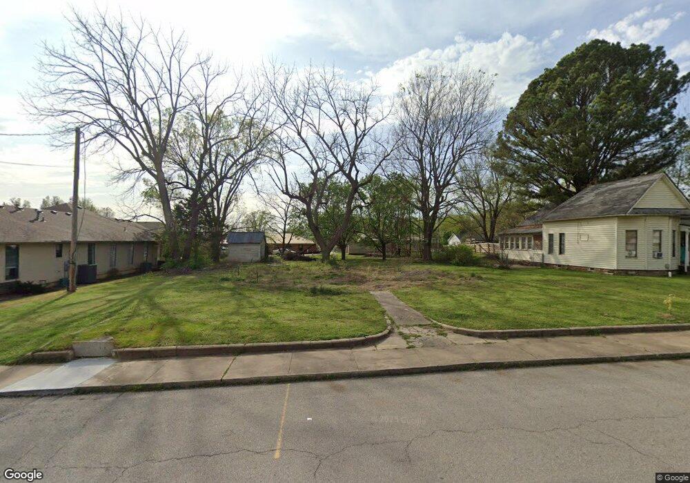
138 N Mock St Prairie Grove, AR 72753
Estimated Value: $194,665 - $271,000
--
Bed
1
Bath
1,593
Sq Ft
$142/Sq Ft
Est. Value
About This Home
This home is located at 138 N Mock St, Prairie Grove, AR 72753 and is currently estimated at $226,916, approximately $142 per square foot. 138 N Mock St is a home located in Washington County with nearby schools including Prairie Grove Elementary School, Prairie Grove Middle School, and Prairie Grove Junior High School.
Ownership History
Date
Name
Owned For
Owner Type
Purchase Details
Closed on
Jan 1, 2017
Sold by
Nall Charles Michael and Nall Kitty Lynn
Bought by
Nall Charles Michael
Current Estimated Value
Purchase Details
Closed on
Aug 9, 2004
Sold by
Mobley John Maxwell
Bought by
Nall Charles Michael and Nall Kitty Lynn
Purchase Details
Closed on
Aug 14, 1989
Bought by
Mobley Hester and Mobley Max
Purchase Details
Closed on
May 4, 1973
Bought by
Mobley Roe and Mobley Hester
Create a Home Valuation Report for This Property
The Home Valuation Report is an in-depth analysis detailing your home's value as well as a comparison with similar homes in the area
Home Values in the Area
Average Home Value in this Area
Purchase History
| Date | Buyer | Sale Price | Title Company |
|---|---|---|---|
| Nall Charles Michael | -- | None Available | |
| Nall Charles Michael | -- | -- | |
| Mobley Hester | -- | -- | |
| Mobley Roe | -- | -- |
Source: Public Records
Tax History Compared to Growth
Tax History
| Year | Tax Paid | Tax Assessment Tax Assessment Total Assessment is a certain percentage of the fair market value that is determined by local assessors to be the total taxable value of land and additions on the property. | Land | Improvement |
|---|---|---|---|---|
| 2025 | $1,061 | $28,110 | $11,900 | $16,210 |
| 2024 | $995 | $28,110 | $11,900 | $16,210 |
| 2023 | $947 | $28,110 | $11,900 | $16,210 |
| 2022 | $861 | $17,460 | $4,900 | $12,560 |
| 2021 | $794 | $17,460 | $4,900 | $12,560 |
| 2020 | $726 | $17,460 | $4,900 | $12,560 |
| 2019 | $667 | $12,260 | $4,400 | $7,860 |
| 2018 | $667 | $12,260 | $4,400 | $7,860 |
| 2017 | $661 | $12,260 | $4,400 | $7,860 |
| 2016 | $661 | $12,260 | $4,400 | $7,860 |
| 2015 | $661 | $12,260 | $4,400 | $7,860 |
| 2014 | $906 | $16,800 | $4,400 | $12,400 |
Source: Public Records
Map
Nearby Homes
- 4.66 +/- AC Tract 5 Hwy 62 & S Mock St
- TBD Kate Smith St
- 208 N Neal St
- Lot 2 Holmes St
- 201 E Cleveland St
- 106 S Ozark St
- 204 Armstrong St
- 303 E Center St
- 107 S Ozark St
- 201 E Douglas St
- 0 Douglas St Unit 1293623
- 710 Marcella St
- 606 1/2 E Buchanan St
- 608 Catlett St
- 901 E Buchanan St
- 881 E Buchanan St
- 680 Marcella St
- 304 S Summit St
- 211 Boston St
- 308 S Summit St
- 142 N Mock St
- 146 N Mock St
- 139 Kate Smith St
- 154 N Mock St
- 147 Kate Smith St
- 0 Mock T 2
- 0 Mock T 3
- 0 Mock T 4
- 119 Kate Smith St
- 153 Kate Smith St
- 5.06 AC Barbwire Wc 3629 Rd
- 3,4,26,27,54 Charismatic Dr
- 0 Clinton Wc 3217 Unit 1060507
- 709 Central
- 17605 Robinson
- 507 Shady
- 637 County Rd
- 27 lots Belle Meade
- 162 N Mock St
- 107 W Parks St