138 Over The Hill Pkwy Mineral Bluff, GA 30559
Estimated Value: $270,000 - $500,000
--
Bed
--
Bath
1,284
Sq Ft
$286/Sq Ft
Est. Value
About This Home
This home is located at 138 Over The Hill Pkwy, Mineral Bluff, GA 30559 and is currently estimated at $367,586, approximately $286 per square foot. 138 Over The Hill Pkwy is a home with nearby schools including Fannin County High School.
Ownership History
Date
Name
Owned For
Owner Type
Purchase Details
Closed on
Jan 11, 2024
Sold by
Shaw Brandon Z
Bought by
Shaw Brandon Z and Shaw Jesse L
Current Estimated Value
Purchase Details
Closed on
Mar 5, 2020
Sold by
Shaw Donna C
Bought by
Shaw Brandon Z
Home Financials for this Owner
Home Financials are based on the most recent Mortgage that was taken out on this home.
Original Mortgage
$75,000
Interest Rate
3.4%
Mortgage Type
New Conventional
Purchase Details
Closed on
Jun 23, 2017
Sold by
Ann Carol
Bought by
Shaw Donna C
Create a Home Valuation Report for This Property
The Home Valuation Report is an in-depth analysis detailing your home's value as well as a comparison with similar homes in the area
Home Values in the Area
Average Home Value in this Area
Purchase History
| Date | Buyer | Sale Price | Title Company |
|---|---|---|---|
| Shaw Brandon Z | -- | -- | |
| Shaw Brandon Z | $132,500 | -- | |
| Shaw Donna C | $132,500 | -- |
Source: Public Records
Mortgage History
| Date | Status | Borrower | Loan Amount |
|---|---|---|---|
| Previous Owner | Shaw Brandon Z | $75,000 |
Source: Public Records
Tax History Compared to Growth
Tax History
| Year | Tax Paid | Tax Assessment Tax Assessment Total Assessment is a certain percentage of the fair market value that is determined by local assessors to be the total taxable value of land and additions on the property. | Land | Improvement |
|---|---|---|---|---|
| 2024 | $723 | $78,876 | $15,120 | $63,756 |
| 2023 | $679 | $66,601 | $15,120 | $51,481 |
| 2022 | $698 | $68,468 | $15,120 | $53,348 |
| 2021 | $535 | $46,143 | $15,120 | $31,023 |
| 2020 | $658 | $46,143 | $15,120 | $31,023 |
| 2019 | $671 | $46,143 | $15,120 | $31,023 |
| 2018 | $637 | $46,143 | $15,120 | $31,023 |
| 2017 | $713 | $40,320 | $15,120 | $25,200 |
| 2016 | $614 | $36,148 | $15,120 | $21,028 |
| 2015 | $971 | $54,714 | $33,330 | $21,384 |
| 2014 | $877 | $40,752 | $23,330 | $17,422 |
| 2013 | -- | $35,596 | $23,330 | $12,266 |
Source: Public Records
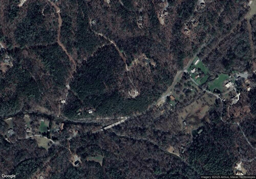
Map
Nearby Homes
- 7.93 Cutcane Rd
- 56.46 Ac Cutcane Rd
- 83.98 Ac Cutcane Rd
- 681 The Woods Rd
- 653 The Woods Rd
- 1164 Dividing Ridge Rd
- Lt 44 Ridgeline Ln
- 147 Little Bluff Trail
- Lot 1 Walker M Sluder Farm Rd
- 0 State 60
- 0 Lakewood Hwy Unit 309290
- 0 Lakewood Hwy Unit 10020686
- 866 Mountain Laurel Ridge
- Lot 41 Mountain Laurel Ridge
- 295 Mountain Laurel Ridge
- 538 Mountain Laurel Ridge
- 0.0 Murphy Hwy
- 0 Mountain Laurel Ridge Unit 23906395
- 0 Mountain Laurel Ridge Unit 10499993
- Lot. 10 Mountain Laurel Ridge
- 56.6 Ac Cutcane Rd
- 83.9 Ac Cutcane Rd
- LOT 6 Cutcane Rd
- 232.3 Cutcane Rd
- 245.3 Cutcane Rd
- 8ac Cutcane Rd
- 138 Nick and Shacks Blvd
- 110 Shechinah
- 500 Cutcane Rd
- 79 Over the Hill Parkwa
- 542 Cutcane Rd
- 78 Over The Hill Pkwy
- 135 Cutcane Rd
- 76 Over The Hill Pkwy
- 76 Nick and Shacks Blvd
- 79 Over The Hill Pkwy
- 79 Over The Hill Pkwy Unit 164
- 100 Shechinah Ridge Dr
- 255 Cutcane Rd
- 101 Shechinah Ridge Rd