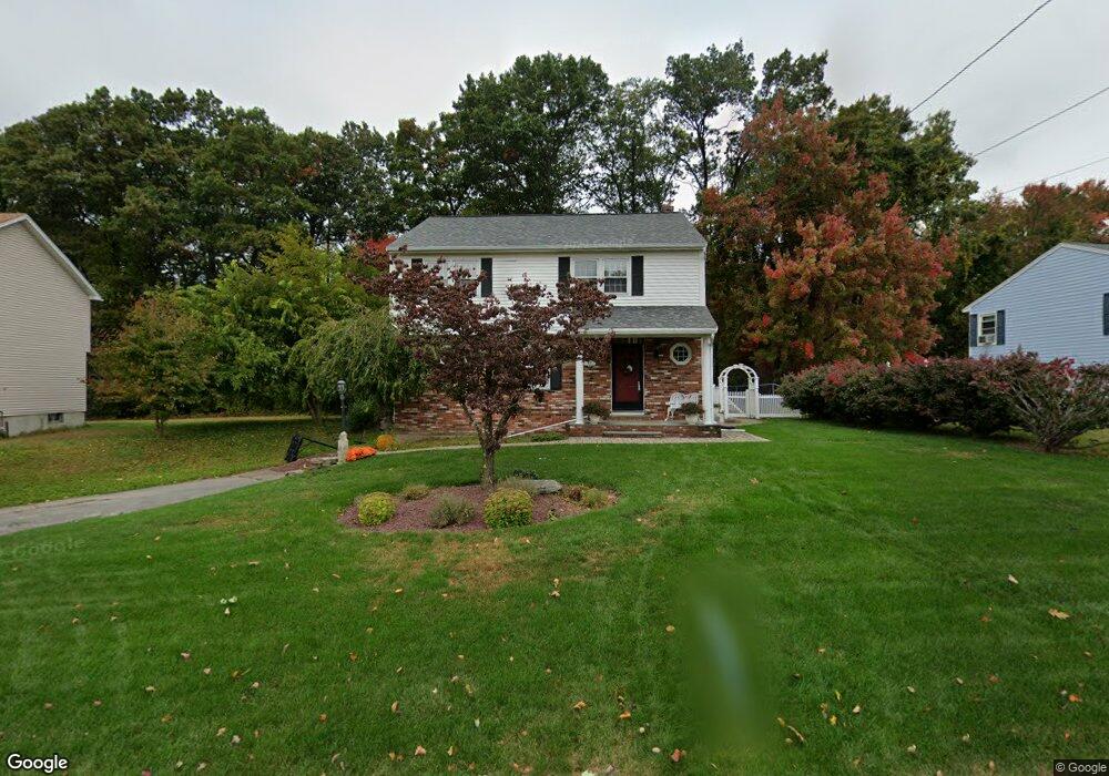
138 Pitman St Methuen, MA 01844
The East End NeighborhoodEstimated Value: $611,000 - $656,000
3
Beds
3
Baths
1,824
Sq Ft
$346/Sq Ft
Est. Value
About This Home
This home is located at 138 Pitman St, Methuen, MA 01844 and is currently estimated at $630,653, approximately $345 per square foot. 138 Pitman St is a home located in Essex County with nearby schools including Methuen High School and Community Day Charter Public School - Gateway.
Ownership History
Date
Name
Owned For
Owner Type
Purchase Details
Closed on
Jun 1, 1986
Bought by
Lessard Norman
Current Estimated Value
Create a Home Valuation Report for This Property
The Home Valuation Report is an in-depth analysis detailing your home's value as well as a comparison with similar homes in the area
Home Values in the Area
Average Home Value in this Area
Purchase History
| Date | Buyer | Sale Price | Title Company |
|---|---|---|---|
| Lessard Norman | -- | -- |
Source: Public Records
Mortgage History
| Date | Status | Borrower | Loan Amount |
|---|---|---|---|
| Closed | Lessard Norman | $80,000 | |
| Closed | Lessard Norman | $75,000 | |
| Closed | Lessard Norman | $11,000 |
Source: Public Records
Tax History
| Year | Tax Paid | Tax Assessment Tax Assessment Total Assessment is a certain percentage of the fair market value that is determined by local assessors to be the total taxable value of land and additions on the property. | Land | Improvement |
|---|---|---|---|---|
| 2025 | $5,547 | $524,300 | $214,100 | $310,200 |
| 2024 | $5,522 | $508,500 | $195,300 | $313,200 |
| 2023 | $5,300 | $453,000 | $173,600 | $279,400 |
| 2022 | $5,031 | $385,500 | $144,600 | $240,900 |
| 2021 | $4,746 | $359,800 | $137,400 | $222,400 |
| 2020 | $4,711 | $350,500 | $137,400 | $213,100 |
| 2019 | $4,541 | $320,000 | $122,900 | $197,100 |
| 2018 | $4,431 | $310,500 | $122,900 | $187,600 |
| 2017 | $4,316 | $294,600 | $122,900 | $171,700 |
| 2016 | $4,210 | $284,300 | $115,700 | $168,600 |
| 2015 | $4,057 | $277,900 | $115,700 | $162,200 |
Source: Public Records
Map
Nearby Homes
- 16 Christopher Dr Unit 38
- 45 Christopher Dr Unit 106
- 17 Ferry Rd
- 6 Ferry Rd
- 10 Fenwick Cir
- 27 Russell Farm Dr
- 51 Ford St Unit A
- 5 Pilgrim Cir Unit C
- 29 Bradstreet Ave
- 30 Anderson Dr
- 183 Farrwood Dr
- 524 Merrimack St
- 414 Farrwood Dr Unit 414
- 128 Pleasant Valley St
- 396 Oak St
- 41 Brookdale Ave
- 7 Germaine Ave
- 201 Aberdeen Rd
- 260 Willow Ave
- 68 Ashford St
Your Personal Tour Guide
Ask me questions while you tour the home.