Estimated Value: $189,000 - $228,000
3
Beds
2
Baths
1,288
Sq Ft
$164/Sq Ft
Est. Value
About This Home
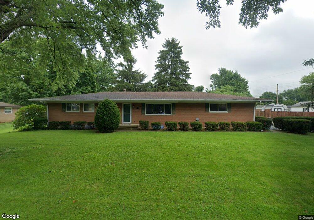
This home is located at 138 Robert Ln, Xenia, OH 45385 and is currently estimated at $211,204, approximately $163 per square foot. 138 Robert Ln is a home located in Greene County with nearby schools including Xenia High School, Summit Academy Community School for Alternative Learners - Xenia, and Legacy Christian Academy.
Ownership History
Date
Name
Owned For
Owner Type
Purchase Details
Closed on
Nov 15, 2012
Sold by
Furay Scott W and Clifton Sandra K
Bought by
Bird Randall R and Bird Kimberlee R
Current Estimated Value
Home Financials for this Owner
Home Financials are based on the most recent Mortgage that was taken out on this home.
Original Mortgage
$76,950
Interest Rate
3.37%
Mortgage Type
VA
Purchase Details
Closed on
Jan 22, 2004
Sold by
Furay Wayne and Furay Mary Jo
Bought by
Furay Wayne and Furay Mary Jo
Purchase Details
Closed on
Oct 24, 1995
Sold by
George A Barborak Est
Bought by
Wayne and Wayne Furay J
Create a Home Valuation Report for This Property
The Home Valuation Report is an in-depth analysis detailing your home's value as well as a comparison with similar homes in the area
Home Values in the Area
Average Home Value in this Area
Purchase History
| Date | Buyer | Sale Price | Title Company |
|---|---|---|---|
| Bird Randall R | $95,000 | None Available | |
| Furay Wayne | -- | -- | |
| Wayne | $92,000 | -- |
Source: Public Records
Mortgage History
| Date | Status | Borrower | Loan Amount |
|---|---|---|---|
| Previous Owner | Bird Randall R | $76,950 |
Source: Public Records
Tax History Compared to Growth
Tax History
| Year | Tax Paid | Tax Assessment Tax Assessment Total Assessment is a certain percentage of the fair market value that is determined by local assessors to be the total taxable value of land and additions on the property. | Land | Improvement |
|---|---|---|---|---|
| 2024 | $2,943 | $62,070 | $11,900 | $50,170 |
| 2023 | $2,943 | $62,070 | $11,900 | $50,170 |
| 2022 | $2,613 | $49,990 | $11,220 | $38,770 |
| 2021 | $2,646 | $49,990 | $11,220 | $38,770 |
| 2020 | $2,540 | $49,990 | $11,220 | $38,770 |
| 2019 | $2,231 | $41,210 | $7,860 | $33,350 |
| 2018 | $2,239 | $41,210 | $7,860 | $33,350 |
| 2017 | $2,128 | $41,210 | $7,860 | $33,350 |
| 2016 | $2,129 | $38,540 | $7,860 | $30,680 |
| 2015 | $2,134 | $38,540 | $7,860 | $30,680 |
| 2014 | $2,047 | $38,540 | $7,860 | $30,680 |
Source: Public Records
Map
Nearby Homes
- 1391 June Dr
- 1351 Omard Dr
- 1283 June Dr
- 1233 June Dr
- 1223 June Dr
- 343 Sheelin Rd
- 1342 Kylemore Dr
- 121 S Progress Dr
- 1144 Rockwell Dr
- 912 Omard Dr
- 883 Omard Dr
- 509 Antrim Rd
- 1568 Cheyenne Dr
- 1618 Navajo Dr
- 305-325 Bellbrook Ave
- 1208 Bellbrook Ave
- 1653 Seneca Dr
- 1272 Bellbrook Ave
- 161 Montana Dr
- 2758 Wyoming Dr