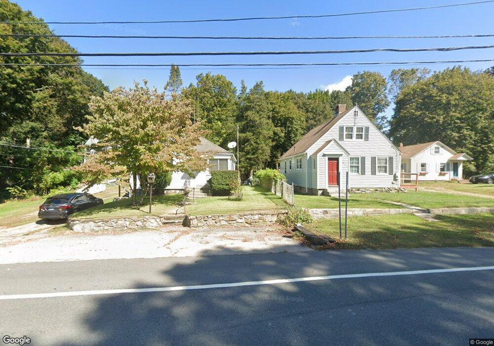
138 Route 2a Preston, CT 06365
Estimated Value: $244,000 - $303,000
2
Beds
1
Bath
810
Sq Ft
$336/Sq Ft
Est. Value
About This Home
This home is located at 138 Route 2a, Preston, CT 06365 and is currently estimated at $271,955, approximately $335 per square foot. 138 Route 2a is a home located in New London County with nearby schools including Integrated Day Charter School.
Ownership History
Date
Name
Owned For
Owner Type
Purchase Details
Closed on
Feb 28, 2012
Sold by
Waterstone Partners Ll
Bought by
Turek Richard D and Turek Elaine C
Current Estimated Value
Home Financials for this Owner
Home Financials are based on the most recent Mortgage that was taken out on this home.
Original Mortgage
$117,000
Outstanding Balance
$80,540
Interest Rate
3.99%
Mortgage Type
Stand Alone Refi Refinance Of Original Loan
Estimated Equity
$191,415
Create a Home Valuation Report for This Property
The Home Valuation Report is an in-depth analysis detailing your home's value as well as a comparison with similar homes in the area
Home Values in the Area
Average Home Value in this Area
Purchase History
| Date | Buyer | Sale Price | Title Company |
|---|---|---|---|
| Turek Richard D | -- | -- |
Source: Public Records
Mortgage History
| Date | Status | Borrower | Loan Amount |
|---|---|---|---|
| Open | Turek Richard D | $117,000 | |
| Previous Owner | Turek Richard D | $119,000 |
Source: Public Records
Tax History
| Year | Tax Paid | Tax Assessment Tax Assessment Total Assessment is a certain percentage of the fair market value that is determined by local assessors to be the total taxable value of land and additions on the property. | Land | Improvement |
|---|---|---|---|---|
| 2025 | $2,615 | $104,160 | $39,830 | $64,330 |
| 2024 | $2,434 | $104,160 | $39,830 | $64,330 |
| 2023 | $2,390 | $104,160 | $39,830 | $64,330 |
| 2022 | $2,331 | $83,600 | $32,600 | $51,000 |
| 2021 | $2,252 | $83,600 | $32,600 | $51,000 |
| 2020 | $2,249 | $83,600 | $32,600 | $51,000 |
| 2019 | $2,210 | $83,600 | $32,600 | $51,000 |
| 2018 | $2,176 | $83,600 | $32,600 | $51,000 |
| 2017 | $2,182 | $90,900 | $33,700 | $57,200 |
| 2016 | $2,159 | $90,900 | $33,700 | $57,200 |
| 2015 | $2,091 | $90,900 | $33,700 | $57,200 |
| 2014 | $2,103 | $90,900 | $33,700 | $57,200 |
Source: Public Records
Map
Nearby Homes
- 104 Route 2a
- 7 Barn Rd
- 11 Willow Ln
- 36 Route 2a
- 15 Paster Rd
- 3 Holdsworth Rd
- 16 Marlene Dr
- 10 Buttercup Ln
- 48 Bittersweet Dr
- 31 Woodland Dr
- 552 Laurel Hill Rd
- 5 Mount Laurel Rd
- 1918 Route 12
- 55 Bentley Ave
- 547 Old Laurel Hill Rd
- 278 Palmer Street Extension
- 105 Stonington Rd
- 14 Abbey Rd
- 12 Stonybrook Rd
- 134 Massapeag Side Rd
- 136 Route 2a
- 140 Route 2a
- 134 Route 2a
- 134 2a Route
- 134 Rt2a Route
- 132 Route 2a
- 135 Route 2a
- 131 Route 2a
- 142 Connecticut 2a
- 130 Route 2a
- 129 Route 2a
- 126 Route 2a
- 125 Route 2a
- 125 Route 2a Unit cottage - unit 2
- 124 Route 2a
- 127 Route 2a
- 13 Shingle Point Rd
- 7 School House Rd
- 9 Shingle Point Rd
- 2 Middle Rd
Your Personal Tour Guide
Ask me questions while you tour the home.