138 Rugg Brook Rd Winsted, CT 06098
Estimated Value: $775,000 - $1,279,000
4
Beds
4
Baths
4,408
Sq Ft
$210/Sq Ft
Est. Value
About This Home
This home is located at 138 Rugg Brook Rd, Winsted, CT 06098 and is currently estimated at $926,748, approximately $210 per square foot. 138 Rugg Brook Rd is a home located in Litchfield County.
Ownership History
Date
Name
Owned For
Owner Type
Purchase Details
Closed on
Oct 22, 2002
Sold by
10 Titus Llc
Bought by
Valickis Kenneth R and Valickis Stephanie
Current Estimated Value
Home Financials for this Owner
Home Financials are based on the most recent Mortgage that was taken out on this home.
Original Mortgage
$52,000
Outstanding Balance
$23,133
Interest Rate
7%
Estimated Equity
$903,615
Create a Home Valuation Report for This Property
The Home Valuation Report is an in-depth analysis detailing your home's value as well as a comparison with similar homes in the area
Home Values in the Area
Average Home Value in this Area
Purchase History
| Date | Buyer | Sale Price | Title Company |
|---|---|---|---|
| Valickis Kenneth R | $115,000 | -- | |
| Valickis Kenneth R | $115,000 | -- |
Source: Public Records
Mortgage History
| Date | Status | Borrower | Loan Amount |
|---|---|---|---|
| Open | Valickis Kenneth R | $52,000 | |
| Closed | Valickis Kenneth R | $52,000 |
Source: Public Records
Tax History Compared to Growth
Tax History
| Year | Tax Paid | Tax Assessment Tax Assessment Total Assessment is a certain percentage of the fair market value that is determined by local assessors to be the total taxable value of land and additions on the property. | Land | Improvement |
|---|---|---|---|---|
| 2025 | $13,031 | $446,740 | $88,550 | $358,190 |
| 2024 | $12,169 | $446,740 | $88,550 | $358,190 |
| 2023 | $11,789 | $446,740 | $88,550 | $358,190 |
| 2022 | $11,316 | $337,400 | $74,970 | $262,430 |
| 2021 | $11,316 | $337,400 | $74,970 | $262,430 |
| 2020 | $11,316 | $337,400 | $74,970 | $262,430 |
| 2019 | $11,316 | $337,400 | $74,970 | $262,430 |
| 2018 | $11,316 | $337,400 | $74,970 | $262,430 |
| 2017 | $11,197 | $333,830 | $72,800 | $261,030 |
| 2016 | $11,197 | $333,830 | $72,800 | $261,030 |
| 2015 | $10,916 | $333,830 | $72,800 | $261,030 |
| 2014 | $10,653 | $333,830 | $72,800 | $261,030 |
Source: Public Records
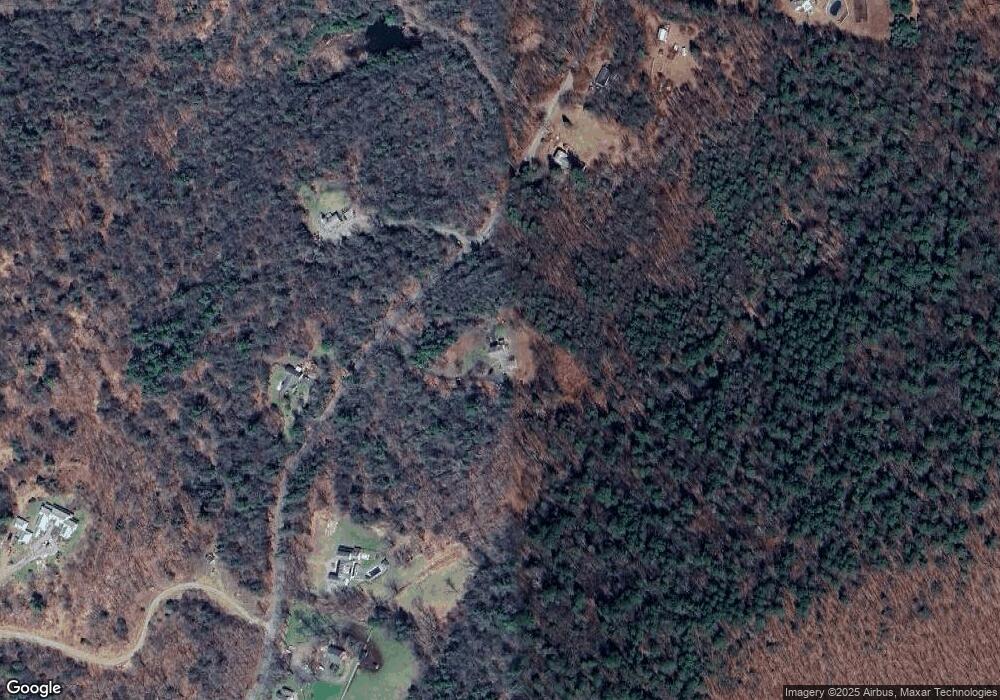
Map
Nearby Homes
- 393 Winchester Rd
- 000000 Norfolk Rd
- 119 W Wakefield Blvd
- 32 Norfolk Rd
- 148 Danbury Quarter Rd
- 00 Chapel Rd
- 431 W Wakefield Blvd
- 73 Norfolk Rd
- 77 Hubbard St
- 99 Hubbard St
- 156 Lincoln Ave
- 256 Colebrook Rd
- 9 John St
- 440 Platt Hill Rd
- 118 Meadow St
- 38 Upland Rd
- 117 South Rd
- 720 Main St
- 843-845 (lots - 10A, E Wakefield Blvd
- 605 E Wakefield Blvd
- 150 Rugg Brook Rd
- 148 Rugg Brook Rd
- 152 Rugg Brook Rd
- 154 Rugg Brook Rd
- 128 Rugg Brook Rd
- 143 Rugg Brook Rd
- 158 Rugg Brook Rd
- 160 Rugg Brook Rd
- 122 Rugg Brook Rd
- 122 Rugg Brook Rd
- 135 Rugg Brook Rd
- 166 Rugg Brook Rd
- 167 Rugg Brook Rd
- 127 Rugg Brook Rd
- 119 Rugg Brook Rd
- 119R Rugg Brook Rd
- 246 Old Waterbury Turnpike
- 118 Rugg Brook Rd
- 147 Rugg Brook Rd
- 390 Winchester Rd