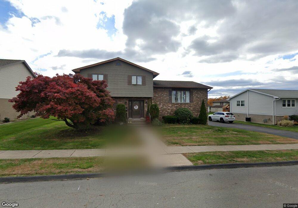
138 Swinnick Dr Unit L231 Dunmore, PA 18512
Estimated Value: $270,199 - $366,000
--
Bed
--
Bath
--
Sq Ft
9,060
Sq Ft Lot
About This Home
This home is located at 138 Swinnick Dr Unit L231, Dunmore, PA 18512 and is currently estimated at $322,050. 138 Swinnick Dr Unit L231 is a home located in Lackawanna County with nearby schools including Red Mountain School, Dunmore Elementary Center, and St. Mary of Mount Carmel School.
Ownership History
Date
Name
Owned For
Owner Type
Purchase Details
Closed on
Jun 11, 2021
Sold by
Lorince Cathy and Croop Janine
Bought by
Perry Michael A and Perry Lindsey
Current Estimated Value
Home Financials for this Owner
Home Financials are based on the most recent Mortgage that was taken out on this home.
Original Mortgage
$176,000
Outstanding Balance
$159,346
Interest Rate
2.9%
Mortgage Type
New Conventional
Estimated Equity
$162,704
Purchase Details
Closed on
Sep 9, 2019
Sold by
Boezi Joan M and Lorince Cathy
Bought by
Lorince Cathy and Croop Janine
Create a Home Valuation Report for This Property
The Home Valuation Report is an in-depth analysis detailing your home's value as well as a comparison with similar homes in the area
Home Values in the Area
Average Home Value in this Area
Purchase History
| Date | Buyer | Sale Price | Title Company |
|---|---|---|---|
| Perry Michael A | $220,000 | None Available | |
| Lorince Cathy | -- | None Available |
Source: Public Records
Mortgage History
| Date | Status | Borrower | Loan Amount |
|---|---|---|---|
| Open | Perry Michael A | $176,000 |
Source: Public Records
Tax History Compared to Growth
Tax History
| Year | Tax Paid | Tax Assessment Tax Assessment Total Assessment is a certain percentage of the fair market value that is determined by local assessors to be the total taxable value of land and additions on the property. | Land | Improvement |
|---|---|---|---|---|
| 2025 | $5,969 | $20,000 | $6,000 | $14,000 |
| 2024 | $5,103 | $20,000 | $6,000 | $14,000 |
| 2023 | $5,103 | $20,000 | $6,000 | $14,000 |
| 2022 | $4,787 | $20,000 | $6,000 | $14,000 |
| 2021 | $4,691 | $20,000 | $6,000 | $14,000 |
| 2020 | $4,691 | $20,000 | $6,000 | $14,000 |
| 2019 | $4,487 | $20,000 | $6,000 | $14,000 |
| 2018 | $4,413 | $20,000 | $6,000 | $14,000 |
| 2017 | $4,286 | $20,000 | $6,000 | $14,000 |
| 2016 | $2,146 | $20,000 | $6,000 | $14,000 |
| 2015 | -- | $20,000 | $6,000 | $14,000 |
| 2014 | -- | $20,000 | $6,000 | $14,000 |
Source: Public Records
Map
Nearby Homes
- 604 Marjorie Dr
- 305 Reeves St
- 618 Shirley Ln
- 427 E Warren St
- 115 W Warren St
- 314 E Drinker St
- 225, 233 E 301 East Drinker Stret
- 201 Church St
- 212 E Elm St
- 219 E Elm St
- 1420 College Ave
- 322 Oak St
- 141 Walnut St
- 1599 Electric St
- 116 Dunmore St
- 1702 Clay Ave
- 350 Smith St Unit L 70
- 1715 Quincy Ave
- 1625 Clay Ave
- 410 Smith St
- 136 Swinnick Dr
- 140 Swinnick Dr
- 435 Thomas Dr
- 433 Thomas Dr
- 437 Thomas Dr
- 137 Swinnick Dr
- 134 Swinick Dr
- 134 Swinnick Dr
- 134 W Swinick Dr
- 139 Swinnick Dr
- 801 Brenda Ln
- 135 Swinnick Dr
- 431 Thomas Dr
- 439 Thomas Dr
- 145 W Swinick Dr
- 145 Swinick Dr
- 145 Swinnick Dr
- 133 Swinick Dr
- 133 Swinnick Dr
- 423 Thomas Dr