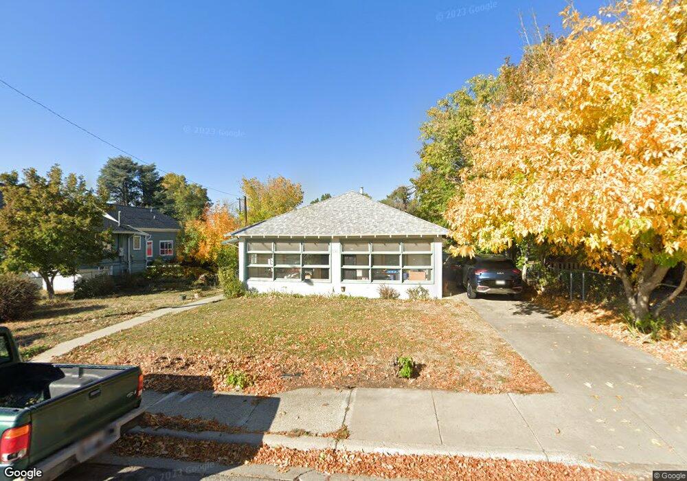
138 W 100 S Bountiful, UT 84010
Estimated Value: $340,000 - $493,000
3
Beds
1
Bath
1,850
Sq Ft
$230/Sq Ft
Est. Value
About This Home
This home is located at 138 W 100 S, Bountiful, UT 84010 and is currently estimated at $425,229, approximately $229 per square foot. 138 W 100 S is a home located in Davis County with nearby schools including Holbrook Elementary School, Millcreek Junior High School, and Bountiful High School.
Ownership History
Date
Name
Owned For
Owner Type
Purchase Details
Closed on
Aug 31, 2017
Sold by
Lyman Jeffrey B and Johnson Chitose M
Bought by
Mercer Terry and Mercer Brook
Current Estimated Value
Purchase Details
Closed on
Aug 30, 2017
Sold by
Mercer Terry and Mercer Brook
Bought by
Mercer Terry and Mercer Brook
Purchase Details
Closed on
May 15, 2006
Sold by
Jeppson Ann S
Bought by
Mercer Brook and Mercer Terry
Home Financials for this Owner
Home Financials are based on the most recent Mortgage that was taken out on this home.
Original Mortgage
$107,200
Interest Rate
6.41%
Mortgage Type
Fannie Mae Freddie Mac
Create a Home Valuation Report for This Property
The Home Valuation Report is an in-depth analysis detailing your home's value as well as a comparison with similar homes in the area
Home Values in the Area
Average Home Value in this Area
Purchase History
| Date | Buyer | Sale Price | Title Company |
|---|---|---|---|
| Mercer Terry | -- | -- | |
| Mercer Terry | -- | -- | |
| Mercer Brook | -- | Aspen Title Insurance Agency |
Source: Public Records
Mortgage History
| Date | Status | Borrower | Loan Amount |
|---|---|---|---|
| Previous Owner | Mercer Brook | $107,200 |
Source: Public Records
Tax History Compared to Growth
Tax History
| Year | Tax Paid | Tax Assessment Tax Assessment Total Assessment is a certain percentage of the fair market value that is determined by local assessors to be the total taxable value of land and additions on the property. | Land | Improvement |
|---|---|---|---|---|
| 2025 | $2,622 | $231,550 | $140,993 | $90,557 |
| 2024 | $2,478 | $228,250 | $128,673 | $99,577 |
| 2023 | $2,363 | $395,000 | $234,243 | $160,757 |
| 2022 | $2,327 | $212,850 | $127,245 | $85,605 |
| 2021 | $2,154 | $302,000 | $166,635 | $135,365 |
| 2020 | $1,905 | $267,000 | $141,327 | $125,673 |
| 2019 | $1,828 | $249,000 | $142,519 | $106,481 |
| 2018 | $1,686 | $225,000 | $139,553 | $85,447 |
Source: Public Records
Map
Nearby Homes
- 131 W 25 N Unit 4
- 147 W 25 N Unit 5
- 46 W 400 S
- 314 W Center St Unit D135
- 314 W Center St Unit D159
- 32 W 400 S
- 155 N Peregrine Ln W
- 34 W 400 S
- 51 E 200 N Unit 3
- 254 N Main St
- 256 N Main St
- 252 N Main St
- 55 E 200 N Unit 2
- 59 E 200 N Unit 1
- 145 S 100 E
- 41 E 200 N Unit 6
- 49 E 200 N Unit 4
- 167 S 425 W
- 160 E 100 N
- 180 E Center St