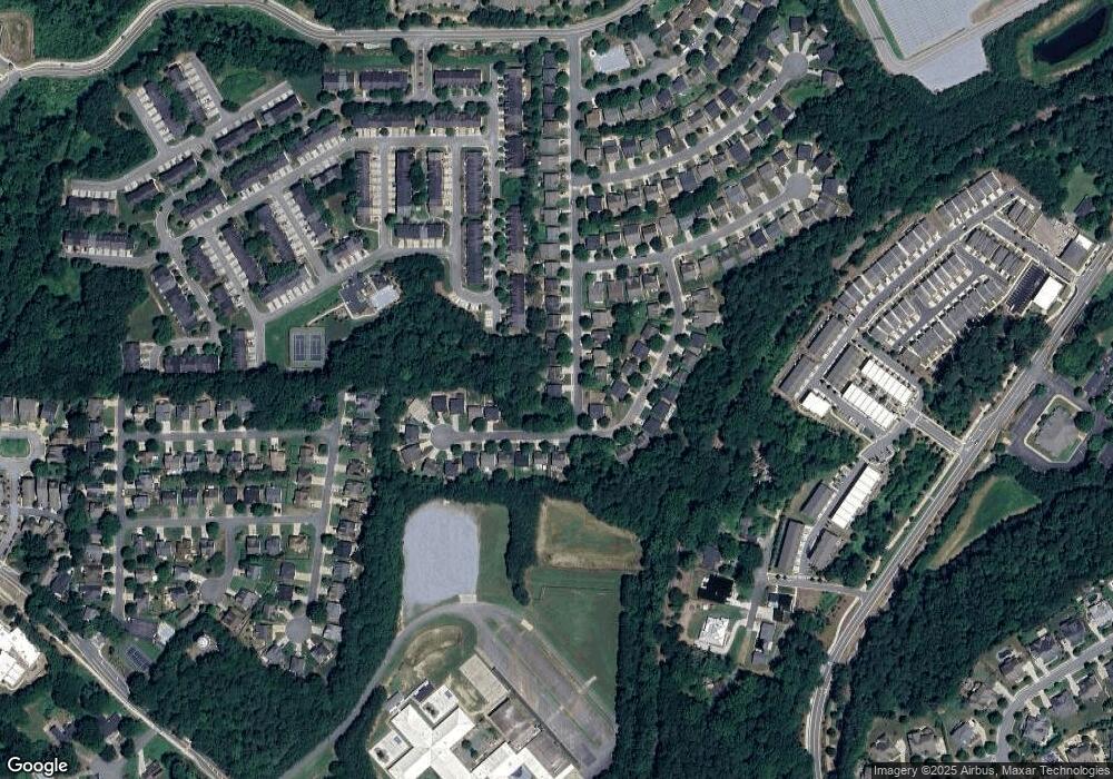
138 Whitfield Way Woodstock, GA 30188
Estimated Value: $423,000 - $446,815
4
Beds
3
Baths
2,327
Sq Ft
$187/Sq Ft
Est. Value
About This Home
This home is located at 138 Whitfield Way, Woodstock, GA 30188 and is currently estimated at $434,908, approximately $186 per square foot. 138 Whitfield Way is a home located in Cherokee County with nearby schools including Woodstock Elementary School, Woodstock Middle School, and Woodstock High School.
Ownership History
Date
Name
Owned For
Owner Type
Purchase Details
Closed on
May 19, 2023
Sold by
Bottoms Jack
Bought by
Windom Christopher E
Current Estimated Value
Home Financials for this Owner
Home Financials are based on the most recent Mortgage that was taken out on this home.
Original Mortgage
$430,000
Outstanding Balance
$418,043
Interest Rate
6.39%
Mortgage Type
VA
Estimated Equity
$16,865
Purchase Details
Closed on
Dec 1, 2011
Sold by
Bottoms Colin T
Bought by
Bottoms Jack
Purchase Details
Closed on
Mar 10, 2004
Sold by
Mccar Development Corp
Bought by
Bottoms Jack and Bottoms Lauren
Home Financials for this Owner
Home Financials are based on the most recent Mortgage that was taken out on this home.
Original Mortgage
$138,200
Interest Rate
5.68%
Create a Home Valuation Report for This Property
The Home Valuation Report is an in-depth analysis detailing your home's value as well as a comparison with similar homes in the area
Home Values in the Area
Average Home Value in this Area
Purchase History
| Date | Buyer | Sale Price | Title Company |
|---|---|---|---|
| Windom Christopher E | $430,000 | -- | |
| Bottoms Jack | -- | -- | |
| Bottoms Jack | $172,800 | -- |
Source: Public Records
Mortgage History
| Date | Status | Borrower | Loan Amount |
|---|---|---|---|
| Open | Windom Christopher E | $430,000 | |
| Previous Owner | Bottoms Jack | $138,200 |
Source: Public Records
Tax History Compared to Growth
Tax History
| Year | Tax Paid | Tax Assessment Tax Assessment Total Assessment is a certain percentage of the fair market value that is determined by local assessors to be the total taxable value of land and additions on the property. | Land | Improvement |
|---|---|---|---|---|
| 2024 | $4,727 | $169,752 | $34,000 | $135,752 |
| 2023 | $908 | $167,024 | $24,000 | $143,024 |
| 2022 | $3,716 | $126,440 | $24,000 | $102,440 |
| 2021 | $2,724 | $108,560 | $19,600 | $88,960 |
| 2020 | $3,133 | $98,080 | $17,520 | $80,560 |
| 2019 | $2,239 | $89,040 | $16,400 | $72,640 |
| 2018 | $2,125 | $83,920 | $16,400 | $67,520 |
| 2017 | $1,986 | $194,600 | $15,600 | $62,240 |
| 2016 | $1,877 | $182,300 | $15,600 | $57,320 |
| 2015 | $1,839 | $177,100 | $12,400 | $58,440 |
| 2014 | $1,610 | $154,700 | $12,400 | $49,480 |
Source: Public Records
Map
Nearby Homes
- 320 Antebellum Place
- 273 Mitchell Ln
- 101 Henderson St
- 705 Breeze Ln
- 402 Towne Valley Dr
- 704 Breeze Ln
- 205 Towne Ridge Dr
- 1122 Cotton Gin Dr
- 103 Mill Park Chase
- 209 Bethany Creek Bend
- 516 Arden Close
- 320 Oak Arms Way
- 8200 Main St Unit 1208
- 8200 Main St Unit 1206
- 8200 Main St Unit 1306
- 120 Meadow Mill Rd
- 418 Thaxton Ln
- 138 Whitfield Way
- 136 Whitfield Way
- 134 Whitfield Way
- 133 Whitfield Way Unit 1
- 133 Whitfield Way Unit 7
- 132 Whitfield Way
- 0 Quinn Dr Unit 8694818
- 0 Quinn Dr Unit 7319875
- 0 Quinn Dr Unit 7230721
- 0 Quinn Dr Unit 7493382
- 0 Quinn Dr Unit 7480950
- 0 Quinn Dr Unit 7403893
- 0 Quinn Dr Unit 7330786
- 0 Quinn Dr Unit 7299048
- 0 Quinn Dr Unit 7220032
- 0 Quinn Dr Unit 7131790
- 0 Quinn Dr Unit 3163497
- 0 Quinn Dr Unit 8707112
- 0 Quinn Dr Unit 8480197
- 0 Quinn Dr Unit 8311879
