1380 Drift Rd Unit i Westport, MA 02790
Westport Point NeighborhoodEstimated Value: $1,053,000 - $1,222,000
1
Bed
1
Bath
960
Sq Ft
$1,194/Sq Ft
Est. Value
About This Home
This home is located at 1380 Drift Rd Unit i, Westport, MA 02790 and is currently estimated at $1,146,686, approximately $1,194 per square foot. 1380 Drift Rd Unit i is a home located in Bristol County with nearby schools including Alice A. Macomber Primary School, Westport Elementary School, and Westport Middle-High School.
Ownership History
Date
Name
Owned For
Owner Type
Purchase Details
Closed on
Jul 16, 2020
Sold by
Mundel Samuel M
Bought by
Summer Salt Life Llc
Current Estimated Value
Purchase Details
Closed on
Jun 3, 2002
Sold by
Schuchman Beth Ann and Ryder Gay Susan
Bought by
Mundel Samuel M
Home Financials for this Owner
Home Financials are based on the most recent Mortgage that was taken out on this home.
Original Mortgage
$376,000
Interest Rate
7%
Mortgage Type
Purchase Money Mortgage
Create a Home Valuation Report for This Property
The Home Valuation Report is an in-depth analysis detailing your home's value as well as a comparison with similar homes in the area
Home Values in the Area
Average Home Value in this Area
Purchase History
| Date | Buyer | Sale Price | Title Company |
|---|---|---|---|
| Summer Salt Life Llc | $940,000 | None Available | |
| Summer Salt Life Llc | $940,000 | None Available | |
| Mundel Samuel M | $470,000 | -- | |
| Mundel Samuel M | $470,000 | -- |
Source: Public Records
Mortgage History
| Date | Status | Borrower | Loan Amount |
|---|---|---|---|
| Previous Owner | Mundel Samuel M | $376,000 |
Source: Public Records
Tax History Compared to Growth
Tax History
| Year | Tax Paid | Tax Assessment Tax Assessment Total Assessment is a certain percentage of the fair market value that is determined by local assessors to be the total taxable value of land and additions on the property. | Land | Improvement |
|---|---|---|---|---|
| 2025 | $7,892 | $1,059,300 | $737,400 | $321,900 |
| 2024 | $6,840 | $884,800 | $647,900 | $236,900 |
| 2023 | $6,845 | $838,900 | $617,000 | $221,900 |
| 2022 | $6,855 | $808,400 | $617,000 | $191,400 |
| 2021 | $5,422 | $629,000 | $484,400 | $144,600 |
| 2020 | $5,125 | $608,000 | $465,100 | $142,900 |
| 2019 | $5,585 | $675,300 | $528,700 | $146,600 |
| 2018 | $4,603 | $563,400 | $442,000 | $121,400 |
| 2017 | $4,527 | $568,000 | $442,000 | $126,000 |
| 2016 | $4,403 | $556,700 | $442,000 | $114,700 |
| 2015 | $4,342 | $547,600 | $442,000 | $105,600 |
Source: Public Records
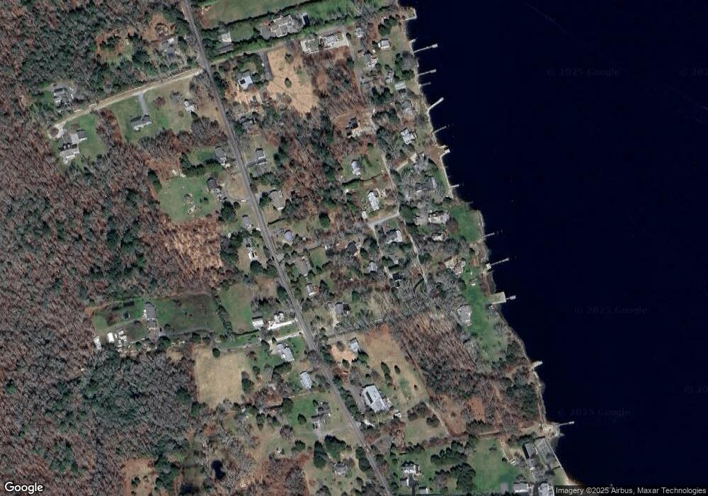
Map
Nearby Homes
- 99 Sylvia Ln
- 225 Hixbridge Rd
- 1346 Main Rd Unit B
- 1580 Main Rd
- 920 Drift Rd
- 1702J Drift Rd
- 1702 Drift Rd
- 1749 Main Rd
- 1881 Main Rd
- 101 Adamsville Rd
- 837 Main Rd
- 8 Village Way
- 2 Slades Farm Ln
- 7 Village Way
- 15 Village Way
- 73 White Oak Run
- 17 Quail Trail
- Lot 2 Horseneck Rd
- Lot 2E Horseneck Rd
- 8 Strawberry Ln
- 1380 Drift Rd
- 1380L Drift Rd
- 1380 Drift Rd
- 1380 Drift Rd Unit N
- 1380 Drift Rd
- 1380 Drift Rd Unit H
- 1380 Drift Rd Unit G
- 1380 Drift Rd
- 1380 Drift Rd
- 1380 Drift Rd
- 1380 Drift Rd Unit D
- 1380 Drift Rd
- 1380 Drift Rd Unit C
- 1380 Drift Rd Unit E
- 1380 Drift Rd
- 1380 Drift Rd
- 1334 Drift Rd Unit B
- 1334 Drift Rd Unit C
- 1334 Drift Rd Unit D
- 1334 Drift Rd Unit F