1380 Drift Rd Unit N Westport, MA 02790
Westport Point NeighborhoodEstimated Value: $1,074,000 - $1,438,535
3
Beds
--
Bath
2,496
Sq Ft
$522/Sq Ft
Est. Value
About This Home
This home is located at 1380 Drift Rd Unit N, Westport, MA 02790 and is currently estimated at $1,303,384, approximately $522 per square foot. 1380 Drift Rd Unit N is a home located in Bristol County with nearby schools including Alice A. Macomber Primary School, Westport Elementary School, and Westport Middle-High School.
Ownership History
Date
Name
Owned For
Owner Type
Purchase Details
Closed on
Jul 31, 1991
Sold by
Sweeney Alma S
Bought by
Sweeney Frank A and Sweeney Virginia
Current Estimated Value
Home Financials for this Owner
Home Financials are based on the most recent Mortgage that was taken out on this home.
Original Mortgage
$270,000
Interest Rate
9.58%
Mortgage Type
Purchase Money Mortgage
Create a Home Valuation Report for This Property
The Home Valuation Report is an in-depth analysis detailing your home's value as well as a comparison with similar homes in the area
Home Values in the Area
Average Home Value in this Area
Purchase History
| Date | Buyer | Sale Price | Title Company |
|---|---|---|---|
| Sweeney Frank A | $270,000 | -- |
Source: Public Records
Mortgage History
| Date | Status | Borrower | Loan Amount |
|---|---|---|---|
| Closed | Sweeney Frank A | $270,000 |
Source: Public Records
Tax History Compared to Growth
Tax History
| Year | Tax Paid | Tax Assessment Tax Assessment Total Assessment is a certain percentage of the fair market value that is determined by local assessors to be the total taxable value of land and additions on the property. | Land | Improvement |
|---|---|---|---|---|
| 2025 | $8,945 | $1,200,700 | $820,700 | $380,000 |
| 2024 | $8,417 | $1,088,900 | $721,000 | $367,900 |
| 2023 | $8,082 | $990,400 | $686,700 | $303,700 |
| 2022 | $8,136 | $959,400 | $686,700 | $272,700 |
| 2021 | $6,851 | $794,800 | $539,100 | $255,700 |
| 2020 | $6,519 | $773,300 | $517,600 | $255,700 |
| 2019 | $6,875 | $831,300 | $588,400 | $242,900 |
| 2018 | $6,279 | $768,500 | $492,000 | $276,500 |
| 2017 | $6,138 | $770,100 | $492,000 | $278,100 |
| 2016 | $6,012 | $760,100 | $492,000 | $268,100 |
| 2015 | $5,710 | $720,100 | $492,000 | $228,100 |
Source: Public Records
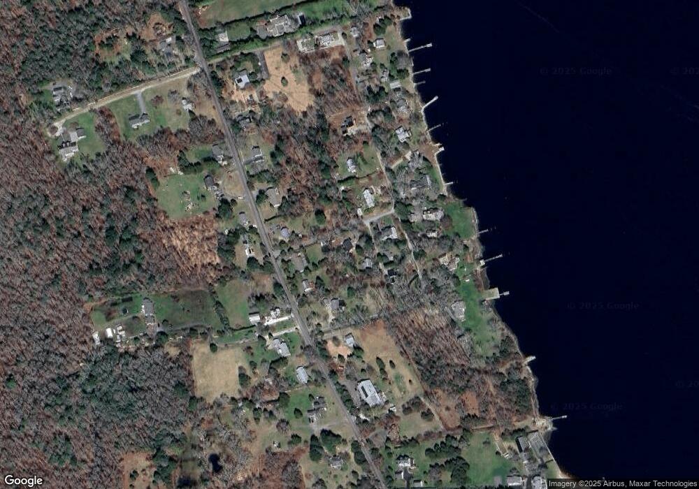
Map
Nearby Homes
- 99 Sylvia Ln
- 225 Hixbridge Rd
- 1346 Main Rd Unit B
- 1580 Main Rd
- 920 Drift Rd
- 1702J Drift Rd
- 1702 Drift Rd
- 1749 Main Rd
- 1881 Main Rd
- 101 Adamsville Rd
- 837 Main Rd
- 8 Village Way
- 2 Slades Farm Ln
- 7 Village Way
- 15 Village Way
- 73 White Oak Run
- 17 Quail Trail
- Lot 2 Horseneck Rd
- Lot 2E Horseneck Rd
- 8 Strawberry Ln
- 1380 Drift Rd Unit i
- 1380 Drift Rd
- 1380L Drift Rd
- 1380 Drift Rd
- 1380 Drift Rd
- 1380 Drift Rd Unit H
- 1380 Drift Rd Unit G
- 1380 Drift Rd
- 1380 Drift Rd
- 1380 Drift Rd
- 1380 Drift Rd Unit D
- 1380 Drift Rd
- 1380 Drift Rd Unit C
- 1380 Drift Rd Unit E
- 1380 Drift Rd
- 1380 Drift Rd
- 1334 Drift Rd Unit B
- 1334 Drift Rd Unit C
- 1334 Drift Rd Unit D
- 1334 Drift Rd Unit F