1380 Drift Rd Westport, MA 02790
Westport Point NeighborhoodEstimated Value: $813,000 - $910,000
3
Beds
--
Bath
1,856
Sq Ft
$465/Sq Ft
Est. Value
About This Home
This home is located at 1380 Drift Rd, Westport, MA 02790 and is currently estimated at $862,360, approximately $464 per square foot. 1380 Drift Rd is a home located in Bristol County with nearby schools including Alice A. Macomber Primary School and Westport Elementary School.
Ownership History
Date
Name
Owned For
Owner Type
Purchase Details
Closed on
May 12, 1993
Sold by
Gorman Joseph D and Gorman Nancy
Bought by
Sullivan Michael P and Sullivan Mary M
Current Estimated Value
Home Financials for this Owner
Home Financials are based on the most recent Mortgage that was taken out on this home.
Original Mortgage
$132,000
Interest Rate
7.47%
Mortgage Type
Purchase Money Mortgage
Create a Home Valuation Report for This Property
The Home Valuation Report is an in-depth analysis detailing your home's value as well as a comparison with similar homes in the area
Home Values in the Area
Average Home Value in this Area
Purchase History
| Date | Buyer | Sale Price | Title Company |
|---|---|---|---|
| Sullivan Michael P | $165,000 | -- | |
| Sullivan Michael P | $165,000 | -- |
Source: Public Records
Mortgage History
| Date | Status | Borrower | Loan Amount |
|---|---|---|---|
| Closed | Sullivan Michael P | $16,000 | |
| Closed | Sullivan Michael P | $132,000 |
Source: Public Records
Tax History Compared to Growth
Tax History
| Year | Tax Paid | Tax Assessment Tax Assessment Total Assessment is a certain percentage of the fair market value that is determined by local assessors to be the total taxable value of land and additions on the property. | Land | Improvement |
|---|---|---|---|---|
| 2025 | $5,412 | $726,400 | $496,000 | $230,400 |
| 2024 | $5,253 | $679,600 | $459,500 | $220,100 |
| 2023 | $5,284 | $647,600 | $437,700 | $209,900 |
| 2022 | $4,729 | $623,500 | $437,700 | $185,800 |
| 2021 | $4,729 | $548,600 | $362,800 | $185,800 |
| 2020 | $4,502 | $534,100 | $348,300 | $185,800 |
| 2019 | $4,311 | $521,300 | $348,300 | $173,000 |
| 2018 | $4,082 | $499,600 | $312,900 | $186,700 |
| 2017 | $3,894 | $488,600 | $312,900 | $175,700 |
| 2016 | $3,911 | $494,500 | $319,000 | $175,500 |
| 2015 | $3,724 | $469,600 | $319,000 | $150,600 |
Source: Public Records
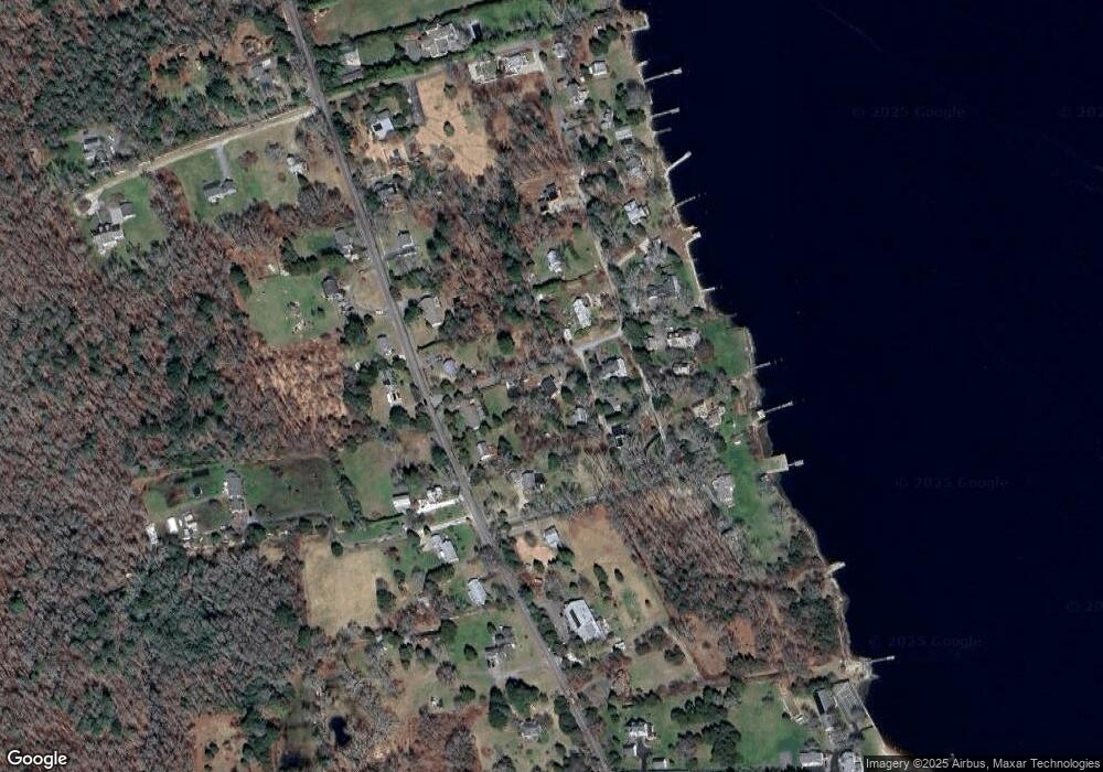
Map
Nearby Homes
- 1371 Drift Rd
- 1277 Drift Rd
- 1518 Drift Rd
- 37 Glen Rd
- 99 Sylvia Ln
- 143 Horseneck Rd
- 1346 Main Rd Unit B
- 1346 Main Rd Unit A 1
- 1734 Drift Rd
- 127D Pettey Ln
- 127 Pettey Ln
- 1175 Main Rd
- 0 Pettey Ln
- 1794 Drift Rd Unit E
- 1749 Main Rd
- 1541 Main Rd
- 101 Adamsville Rd
- 332 Division Rd
- 14 Village Way
- 32 Village Way
- 1380 Drift Rd Unit i
- 1380 Drift Rd
- 1380L Drift Rd
- 1380 Drift Rd
- 1380 Drift Rd Unit N
- 1380 Drift Rd
- 1380 Drift Rd Unit H
- 1380 Drift Rd Unit G
- 1380 Drift Rd
- 1380 Drift Rd
- 1380 Drift Rd Unit D
- 1380 Drift Rd
- 1380 Drift Rd Unit C
- 1380 Drift Rd Unit E
- 1380 Drift Rd
- 1380 Drift Rd
- 1334 Drift Rd Unit B
- 1334 Drift Rd Unit C
- 1334 Drift Rd Unit D
- 1334 Drift Rd Unit F