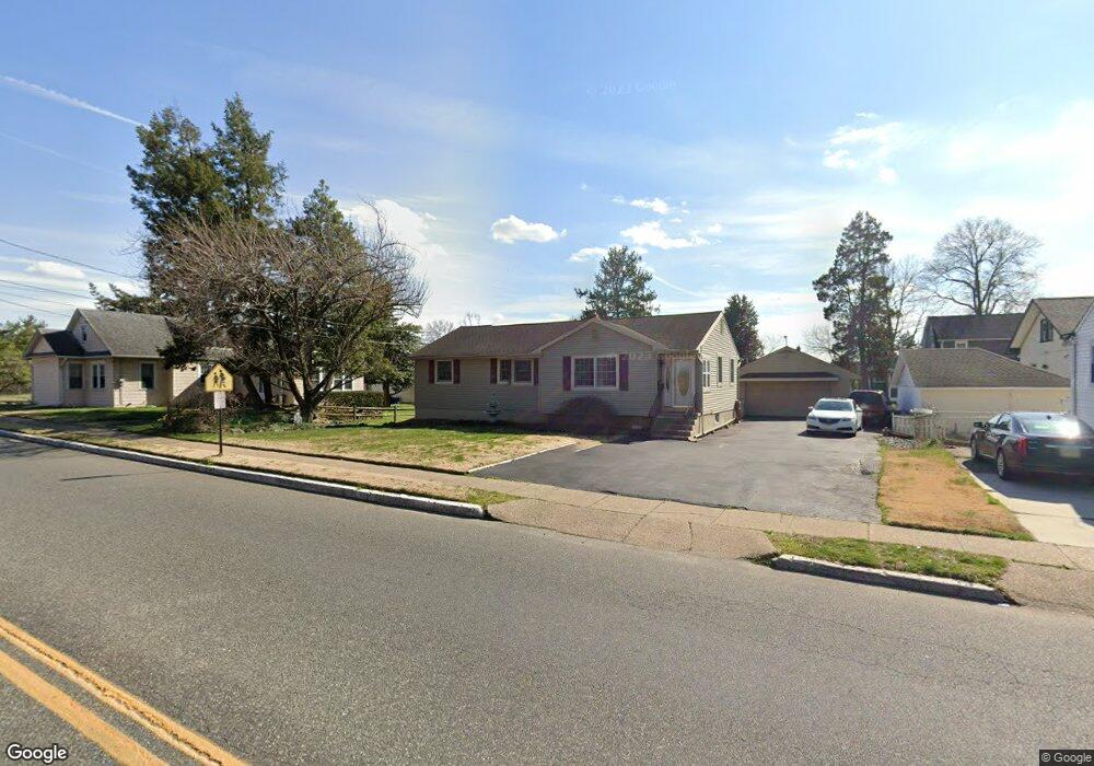
1380 Market St Gloucester City, NJ 08030
Estimated Value: $235,504 - $299,000
--
Bed
--
Bath
1,248
Sq Ft
$221/Sq Ft
Est. Value
About This Home
This home is located at 1380 Market St, Gloucester City, NJ 08030 and is currently estimated at $276,376, approximately $221 per square foot. 1380 Market St is a home located in Camden County with nearby schools including Cold Springs School, Gloucester City Middle School, and Gloucester City Junior/Senior High School.
Ownership History
Date
Name
Owned For
Owner Type
Purchase Details
Closed on
Jul 17, 1995
Sold by
Hohl Eva
Bought by
Savastano Neil
Current Estimated Value
Home Financials for this Owner
Home Financials are based on the most recent Mortgage that was taken out on this home.
Original Mortgage
$74,000
Interest Rate
7.32%
Create a Home Valuation Report for This Property
The Home Valuation Report is an in-depth analysis detailing your home's value as well as a comparison with similar homes in the area
Home Values in the Area
Average Home Value in this Area
Purchase History
| Date | Buyer | Sale Price | Title Company |
|---|---|---|---|
| Savastano Neil | $92,900 | -- |
Source: Public Records
Mortgage History
| Date | Status | Borrower | Loan Amount |
|---|---|---|---|
| Closed | Savastano Neil | $74,000 |
Source: Public Records
Tax History Compared to Growth
Tax History
| Year | Tax Paid | Tax Assessment Tax Assessment Total Assessment is a certain percentage of the fair market value that is determined by local assessors to be the total taxable value of land and additions on the property. | Land | Improvement |
|---|---|---|---|---|
| 2025 | $6,968 | $139,000 | $45,100 | $93,900 |
| 2024 | $6,956 | $139,000 | $45,100 | $93,900 |
| 2023 | $6,956 | $139,000 | $45,100 | $93,900 |
| 2022 | $6,540 | $139,000 | $45,100 | $93,900 |
| 2021 | $6,475 | $139,000 | $45,100 | $93,900 |
| 2020 | $6,252 | $139,000 | $45,100 | $93,900 |
| 2019 | $6,124 | $139,000 | $45,100 | $93,900 |
| 2018 | $6,467 | $149,700 | $45,100 | $104,600 |
| 2017 | $6,334 | $149,700 | $45,100 | $104,600 |
| 2016 | $6,094 | $149,700 | $45,100 | $104,600 |
| 2015 | $5,488 | $149,700 | $45,100 | $104,600 |
| 2014 | $5,545 | $105,700 | $27,200 | $78,500 |
Source: Public Records
Map
Nearby Homes
- 1417 Chestnut Ave
- 374 Walnut Ave
- 139 Gehrig Ave
- 392 Walnut Ave
- 501 Dukewood Ave
- 614 Sydwood Ave
- 1409 Thompson Ave
- 38 Sartori Ave
- 334 Rosalind Ave
- 27 Goldy Dr
- 3 Myrtle Ave
- 1 Myrtle Ave
- 5 Myrtle Ave
- 219 Orlando Ave
- 851 Station Ave
- 850 Market St
- 128 Amon Ave
- 720 Cedar Ave
- 1038 Alcyon Dr
- 1026 W Browning Rd
- 300 Walnut Ave
- 308 Walnut Ave Unit 1
- 308 Walnut Ave
- 1382 Market St
- 318 Walnut Ave
- 303 Maple Ave
- 324 Walnut Ave
- 305 Maple Ave
- 317 Walnut Ave
- 300 Maple Ave
- 323 Walnut Ave
- 307 Maple Ave
- 319 Walnut Ave
- 1401 Chestnut Ave
- 309 Maple Ave
- 335 Walnut Ave
- 1405 Chestnut Ave
- 339 Walnut Ave
- 1400 Chestnut Ave
- 345 Walnut Ave