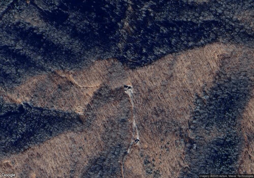
1380 Mountainside Dr Bryson City, NC 28713
Estimated Value: $437,000 - $949,849
2
Beds
2
Baths
2,496
Sq Ft
$251/Sq Ft
Est. Value
About This Home
This home is located at 1380 Mountainside Dr, Bryson City, NC 28713 and is currently estimated at $627,462, approximately $251 per square foot. 1380 Mountainside Dr is a home with nearby schools including Swain County Middle School, Swain County West Elementary School, and Swain County High School.
Ownership History
Date
Name
Owned For
Owner Type
Purchase Details
Closed on
Jun 18, 2025
Sold by
Michalowski Daniel and Carries Cabin Llc
Bought by
Sky Is Home Llc and Cattin Aire Llc
Current Estimated Value
Home Financials for this Owner
Home Financials are based on the most recent Mortgage that was taken out on this home.
Original Mortgage
$910,000
Outstanding Balance
$871,501
Interest Rate
6.85%
Mortgage Type
New Conventional
Estimated Equity
-$244,039
Purchase Details
Closed on
May 7, 2015
Sold by
Cavallo Charles V and Cavallo Francine
Bought by
Michalowski Daniel and Michalowski Carol
Purchase Details
Closed on
Oct 12, 2005
Sold by
Williams Jerylyn A and Williams Charles T
Bought by
Cavallo Charles V and Cavallo Francine
Create a Home Valuation Report for This Property
The Home Valuation Report is an in-depth analysis detailing your home's value as well as a comparison with similar homes in the area
Home Values in the Area
Average Home Value in this Area
Purchase History
| Date | Buyer | Sale Price | Title Company |
|---|---|---|---|
| Sky Is Home Llc | $1,300,000 | None Listed On Document | |
| Sky Is Home Llc | $1,300,000 | None Listed On Document | |
| Michalowski Daniel | $98,000 | None Available | |
| Cavallo Charles V | $89,000 | -- |
Source: Public Records
Mortgage History
| Date | Status | Borrower | Loan Amount |
|---|---|---|---|
| Open | Sky Is Home Llc | $910,000 | |
| Closed | Sky Is Home Llc | $910,000 |
Source: Public Records
Tax History Compared to Growth
Tax History
| Year | Tax Paid | Tax Assessment Tax Assessment Total Assessment is a certain percentage of the fair market value that is determined by local assessors to be the total taxable value of land and additions on the property. | Land | Improvement |
|---|---|---|---|---|
| 2025 | $1,956 | $449,130 | $57,600 | $391,530 |
| 2024 | $1,956 | $449,130 | $57,600 | $391,530 |
| 2023 | $1,732 | $449,130 | $57,600 | $391,530 |
| 2022 | $1,732 | $449,130 | $57,600 | $391,530 |
| 2021 | $1,732 | $449,130 | $0 | $0 |
| 2020 | $1,553 | $410,570 | $71,810 | $338,760 |
| 2019 | $160 | $44,320 | $44,320 | $0 |
| 2018 | $899 | $44,320 | $44,320 | $0 |
| 2017 | $899 | $229,000 | $65,830 | $163,170 |
| 2016 | $210 | $58,290 | $58,290 | $0 |
| 2015 | -- | $58,290 | $58,290 | $0 |
| 2014 | -- | $58,270 | $58,270 | $0 |
Source: Public Records
Map
Nearby Homes
- 10 Ridge Place
- 3.32 AC Mountainside Dr
- Lot 72 Bobcat
- Lot 64 Bobcat Trail
- 3.8 AC Bobcat Trail
- 135 W Skycove Cir
- 999 Mountainside Dr
- 139 Forest Hills Rd
- 9999 Mountainside Dr
- 6541 Grassy Branch Rd
- 1028 Big Rockys Rd
- Lot 8 Blackberry Hill
- 00 Grassy Branch Rd
- 77 Nash Trail
- 315 Big Rockys Rd
- 0 Black Forest Dr Unit 26036845
- 0 Black Forest Dr Unit 26037019
- 84 Pelohi Cove Rd
- 116 R P Stephenson Dr
- 1955 Sam Davis Rd
- 1296 Mountainside Dr
- 1125 Mountainside Dr
- 727 Dark Branch Rd
- 800 Dark Branch Rd
- 1084 Mountainside Dr
- 636 Mountainside Dr
- 220 Ridge Place
- 87 Ridge Place
- 634 Mountainside Dr
- Lot Dark Branch Rd
- 0 Hidden Cove Rd
- 6033 Grassy Branch
- 6033 Grassy Branch Rd
- 5C Ridge Place
- 5B Ridge Place
- 5A Ridge Place
- 16 Ridge Place
- 0 Ridge Place
- 183 Ridge Place
- Lot #11 Forest Hills Rd Unit 11
